Caves · North West England
Providence Pot
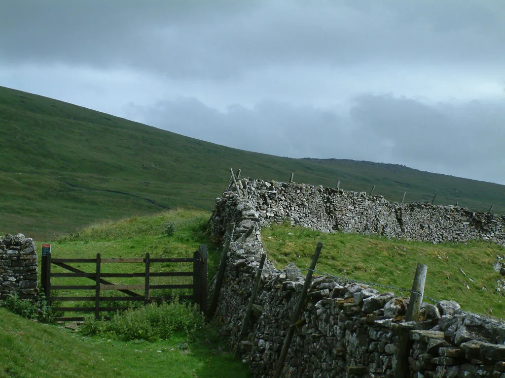
Providence Pot is a cave in the United Kingdom.

Nigel Auty — CC BY-SA 2.0 via Wikimedia Commons licence
Plan your visit
- Typical visit
- 45 min–1.5 h
- Free entry
- Dog-friendly
About
Providence Pot is a named cave entrance in the United Kingdom. Coordinates: 54.1517°, -2.0135°. This entry is part of The Great Britain Guide, a free, ad-free, open-data tourist directory.
Photo gallery
Protected designations
- Site of Special Scientific Interest: Dow Cave System SSSI
- Site of Special Scientific Interest: Upper Wharfedale SSSI
Designations sourced from Natural England open data under OGL v3.
Place summary
Providence Pot is a cave located in North-West England, within the parish of Kettlewell with Starbotton (postcode BD23). It is part of the Dow Cave System SSSI and the Upper Wharfedale SSSI, recognising its geological significance and ecological importance.
AI-generated from the structured facts on this page (operator, designation, listing, era). Not a substitute for visiting.
- Coordinates
- 54.1517, -2.0135
- District
- North Yorkshire
- Parish
- Kettlewell with Starbotton
- Postcode
- BD23 5RL
- Parliamentary constituency
- Skipton and Ripon
Sources
- osm: n690971796 (ODbL)
Other places nearby
Loading nearby places…
Nearby
Hostels · North West England
Hag Dyke Scout Hostel
Hag Dyke Scout Hostel — a hostel in england north west.
 📷 3
📷 3Caves · North West England
Rain Pot Hole
Rain Pot Hole is a cave in the United Kingdom.
 📷 3
📷 3Archaeological sites · North West England
old lime kiln
old lime kiln — a archaeological in england-north-west, United Kingdom.
 📷 3
📷 3Archaeological sites · North West England
old mine working
old mine working — a archaeological in england-north-west, United Kingdom.
 📷 3
📷 3Caves · North West England
Rigg Pot
Rigg Pot is a cave in the United Kingdom.
 📷 3
📷 3Natural landmarks · Yorkshire & the Humber
Great Whernside
Great Whernside — mountain in United Kingdom.
More caves in this region
 📷 3
📷 3Caves · North West England
Alum Pot
Alum Pot is a cave in the United Kingdom.
 📷 3
📷 3Caves · North West England
Antler Hole
Antler Hole is a cave in the United Kingdom.
 📷 3
📷 3Caves · North West England
Aquamole Pot
Aquamole Pot is a cave in the United Kingdom.
 📷 3
📷 3Caves · North West England
Austwick Beck Head
Austwick Beck Head is a cave in the United Kingdom.
Frequently asked questions
- Where is Providence Pot?
- Providence Pot is in North-West England, United Kingdom (postcode BD23 5RL), in the parish of Kettlewell with Starbotton.
- Is Providence Pot a protected site?
- Yes — Providence Pot is part of the Dow Cave System SSSI Site of Special Scientific Interest and the Upper Wharfedale SSSI Site of Special Scientific Interest.
- Is Providence Pot free to visit?
- Yes, Providence Pot is free to enter.
- How do I get to Providence Pot?
- Drivers can navigate to postcode BD23 5RL. It sits within the Skipton and Ripon parliamentary constituency.