Mountains & hills · Yorkshire & the Humber
Great Whernside
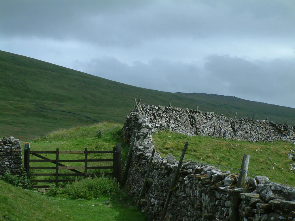
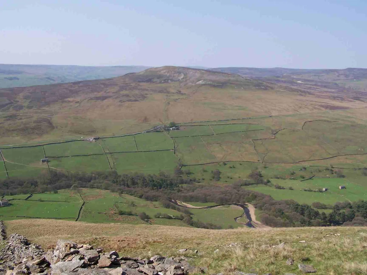
Great Whernside — Named summit at 704 m.

Wikimedia Commons contributors — see linked file page for photographer and licence licence
Plan your visit
- Typical visit
- 3 h–8 h
- Best time of year
- Late spring – early autumn (May–Oct)
- Free entry
- Dog-friendly
About
Great Whernside is a named summit in the United Kingdom. Wikidata describes it as: "Named summit at 704 m.". Coordinates: 54.1610°, -1.9983°.
Photo gallery
Protected designations
- Area of Outstanding Natural Beauty: Nidderdale
Designations sourced from Natural England open data under OGL v3.
From the Wikipedia article
Great Whernside is a fell in the Yorkshire Dales, England, not to be confused with Whernside, some 17 miles (27 km) to the west. Its summit is the highest point of the eastern flank of Wharfedale above Kettlewell. Great Whernside forms the watershed between Wharfedale and Nidderdale, and is on the boundary between the Yorkshire Dales National Park and Nidderdale National Landscape. The River Nidd rises on the eastern slopes of Great Whernside, above Angram Reservoir.
Excerpt from Wikipedia under CC BY-SA 4.0. See the source article linked in Sources below.
Background
Visiting
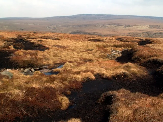
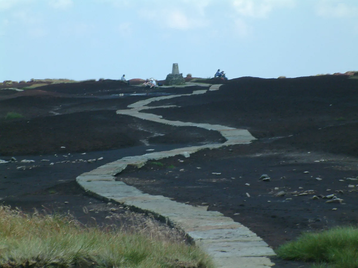
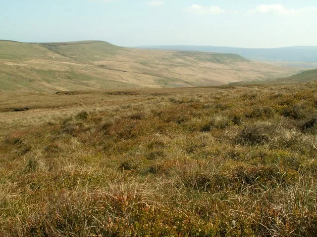
Until 1997 no public right of way was established to the summit of Great Whernside. In that year two public footpaths were registered, one from Kettlewell in Wharfedale to the summit and one along the summit ridge. Following the Countryside and Rights of Way Act 2000 large parts of the fell became open access land. Great Whernside can be ascended from Kettlewell, or by a shorter route above Park Rash on the minor road from Kettlewell to Coverdale. It can also be ascended by a longer, less popular, route from Scar House Reservoir. Routes from the East are often boggy even after prolonged dry weather.
Sourced from Wikipedia under CC BY-SA 4.0.
- Coordinates
- 54.1610, -1.9983
- Address
- Yorkshire Dales, England
Sources
- osm: n321052886 (ODbL)
- wikipedia: Great Whernside (CC BY-SA 4.0)
- commons: Great Whernside.jpg (CC BY-SA 4.0)
Other places nearby
Loading nearby places…
Nearby
 📷 3
📷 3Natural landmarks · Yorkshire & the Humber
Great Whernside
Great Whernside — mountain in United Kingdom.
Hostels · North West England
Hag Dyke Scout Hostel
Hag Dyke Scout Hostel — a hostel in england north west.
 📷 3
📷 3Caves · North West England
Providence Pot
Providence Pot is a cave in the United Kingdom.
 📷 3
📷 3Archaeological sites · North West England
old lime kiln
old lime kiln — a archaeological in england-north-west, United Kingdom.
 📷 3
📷 3Caves · North West England
Dow Cave
Dow Cave is a cave in the United Kingdom.
 📷 3
📷 3Archaeological sites · North West England
old mine working
old mine working — a archaeological in england-north-west, United Kingdom.
More mountains in this region
 📷 3
📷 3Mountains & hills · Yorkshire & the Humber
Black Chew Head
Black Chew Head — Named summit at 542 m.
 📷 3
📷 3Mountains & hills · Yorkshire & the Humber
Black Hill
Black Hill — Named summit at 582 m.
 📷 3
📷 3Mountains & hills · Yorkshire & the Humber
Britland Edge Hill
Britland Edge Hill — Named summit at 523 m.
 📷 3
📷 3Mountains & hills · Yorkshire & the Humber
Calver Hill
Calver Hill — Named summit at 493 m.
Frequently asked questions
- Where is Great Whernside?
- Great Whernside is in Yorkshire, United Kingdom.
- Is Great Whernside a protected site?
- Yes — Great Whernside is part of the Nidderdale National Landscape (AONB).
- Is Great Whernside free to visit?
- Yes, Great Whernside is free to enter.