Towns & cities · London
Pratt's Bottom
Pratt's Bottom — village in the London Borough of Bromley, England, UK.

Wikimedia Commons contributors — see linked file page for photographer and licence licence
Plan your visit
- Typical visit
- 3 h–6 h
- Nearest railway station
- Knockholt · 1.4 km
- Free entry
- Family-friendly
- Dog-friendly
About
Pratt's Bottom is a town, city, village or settlement in the United Kingdom. Address: BR6. Wikidata describes it as: "village in the London Borough of Bromley, England, UK". Coordinates: 51.3397°, 0.1128°.
Photo gallery
Protected designations
- Area of Outstanding Natural Beauty: Kent Downs
Designations sourced from Natural England open data under OGL v3.
From the Wikipedia article
Pratt's Bottom is a village in Greater London, England, within the London Borough of Bromley and, prior to 1965, within the historic county of Kent. It is south of its parent parish of Orpington, lies about 100 metres above sea level and beyond London's urban sprawl. It has frequently been noted on lists of unusual place names. It is a small village, consisting of a main road (Rushmore Hill) on which is situated a school, a village shop (the post office was closed as part of the widespread branch closures of June 2008) and the Bulls Head pub, two small churches and a few side roads. There is a village hall behind the green.
Excerpt from Wikipedia under CC BY-SA 4.0. See the source article linked in Sources below.
Background
History
A "bottom" in this context means a valley or hollow, and the Pratts were a noble family once seated in the area. Pratt's Bottom formed part of the ancient, and later civil, parish of Chelsfield in Kent and was part of the Bromley Rural District from 1896. In 1965 it was transferred to Greater London, to form part of the London Borough of Bromley.
Sourced from Wikipedia under CC BY-SA 4.0.
- Coordinates
- 51.3397, 0.1128
- District
- Bromley
- Parish
- Bromley, unparished area
- Postcode
- BR6
- Parliamentary constituency
- Orpington
- Nearest railway station
- Knockholt — 1.4 km
Sources
- wikidata: Q122384 (CC0)
- wikipedia: Pratt's Bottom (CC BY-SA 4.0)
- commons: Village green and sign at Pratt's Bottom, Kent - geograph-2261083.jpg (CC BY-SA 4.0)
Other places nearby
Loading nearby places…
Nearby
 📷 5
📷 5Memorials & monuments · London
Bird Bath of the Ages
Bird Bath of the Ages — a memorial in england-london, United Kingdom.
 📷 5
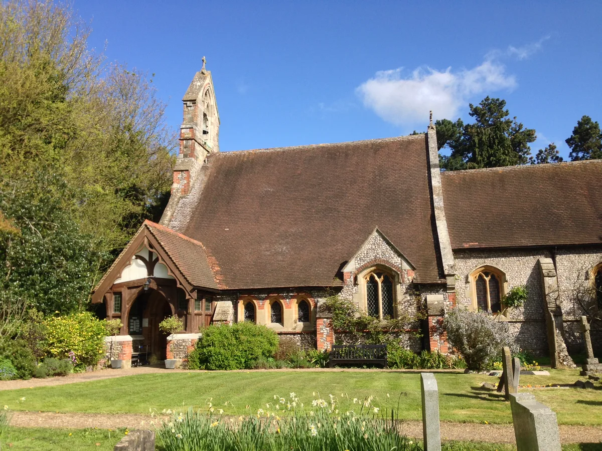
📷 5Historic churches · London
St Margaret's Church, Halstead
St Margaret's Church, Halstead — church in Halstead, Sevenoaks, Kent, England, UK.
 📷 5
📷 5Memorials & monuments · London
John Hugh Mortimer Ellis
John Hugh Mortimer Ellis — a memorial in england-london, United Kingdom.
 📷 5
📷 5Towns & cities · London
Green Street Green
Green Street Green — village in the London Borough of Bromley, England, UK.
 📷 5
📷 5Historic houses · London
Cross House
Cross House — house in Bromley, London, England, UK.
 📷 5
📷 5Towns & cities · London
Badgers Mount
Badgers Mount — village in Kent, England, UK.
More towns in this region
 Flagship📷 10
Towns & cities · London
Aldenham
Aldenham — village and civil parish in Hertfordshire, England.
 Flagship📷 10
Towns & cities · London
Ashdon
Ashdon — village and civil parish in Essex, UK.
 Flagship📷 10
Towns & cities · London
Betchworth
Betchworth — village and civil parish in the Mole Valley district of Surrey, England.
 Flagship📷 10
Towns & cities · London
Boxley
Boxley — village and civil parish in Maidstone District, Kent, England, UK.
Frequently asked questions
- Where is Pratt's Bottom?
- Pratt's Bottom is in London, United Kingdom (postcode BR6), in the parish of Bromley, unparished area.
- Is Pratt's Bottom a protected site?
- Yes — Pratt's Bottom is part of the Kent Downs National Landscape (AONB).
- Is Pratt's Bottom free to visit?
- Yes, Pratt's Bottom is free to enter.
- How do I get to Pratt's Bottom?
- The nearest railway station is Knockholt, about 1.4 km away. Drivers can navigate to postcode BR6.