Parks · West Midlands
Platt Fields Park
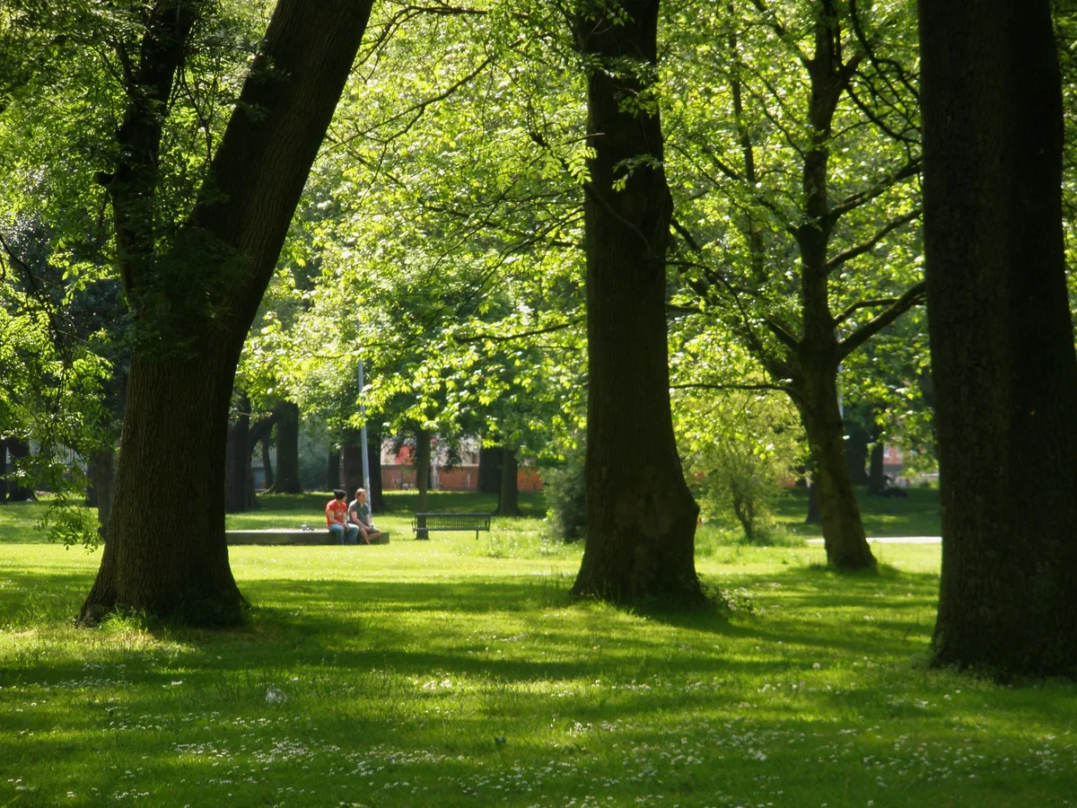
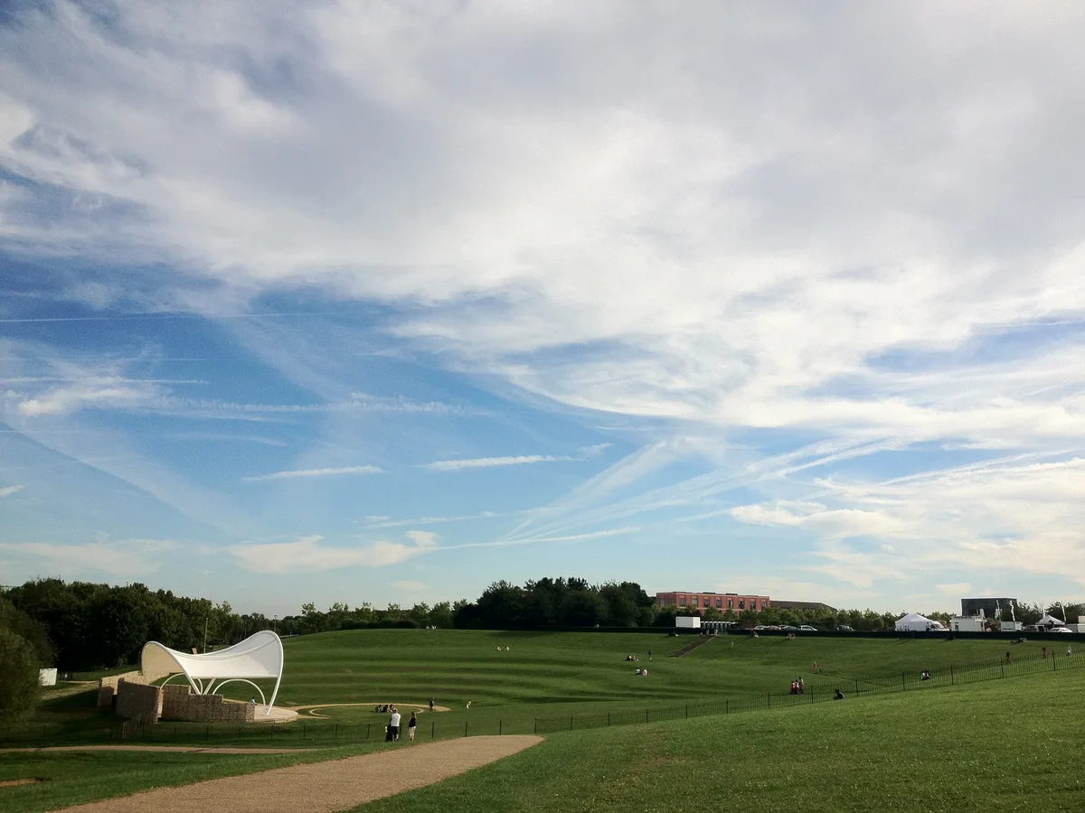
Platt Fields Park — public park in Manchester, England.

Wikimedia Commons contributors — see linked file page for photographer and licence licence
Plan your visit
- Typical visit
- 1 h–2 h
- Nearest railway station
- Mauldeth Road · 1.9 km
- Free entry
- Family-friendly
- Dog-friendly
About
Platt Fields Park is a public park in the United Kingdom. Managed by Manchester City Council. Wikidata describes it as: "public park in Manchester, England". Coordinates: 53.4483°, -2.2245°.
Photo gallery
From the Wikipedia article
Platt Fields Park is a large public park in Fallowfield, Manchester, England which is home to Platt Hall. Fallowfield lies to the south and Wilmslow Road runs along its eastern edge. Its north-eastern corner is close to the start of the Curry Mile.
Excerpt from Wikipedia under CC BY-SA 4.0. See the source article linked in Sources below.
Background
History
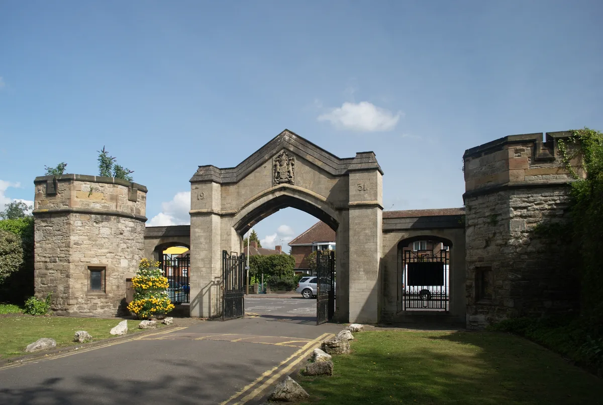
The first known mention of the area is from 1150, at which time the "lands of Platt" were given to the Knights of St John by "Matthew, Son of William". Gore Brook is mentioned as being present at the time. The Platt family obtained the estate in 1225, and owned the land for the next 400 years. In 1625 it passed to the Worsley family, and was then a country park bordering on the Cheshire Plain, and called the Platt Hall Estate. The park was landscaped by William Emes in 1768. The Worsley family owned the estate until 1907. from Platt Fields Park]] By the early 20th century, the site was a country park with a mansion, though the estate was gradually surrounded by ever-increasing housing,…
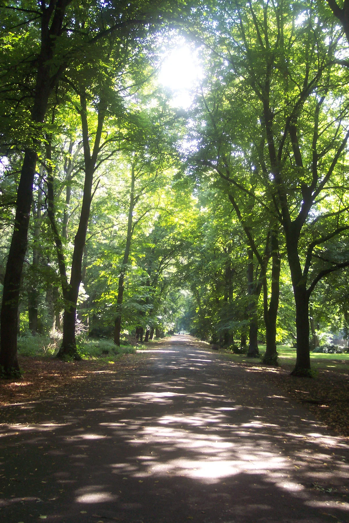
Description
The centrepiece of the park is a large pleasure pond, which was once used for boating and fishing. The pond has an island sanctuary in the middle, as well as a pondside visitors' centre and a boathouse. The park also contains part of Gore Brook and part of the Nico (Mickle) Ditch. There is a labyrinth and picnic area, a veterans' pavilion and children's playgrounds. Sports facilities include a pair of bowling greens and courts for basketball, five-a-side, roller hockey, tennis, as well as a mini soccer pitch, cycle pathways and a skate park. The old boathouse is now the location of Platt Fields Bike Hub, a community project involved in bicycle repairs, bike hire and other cycling-oriented…
Sourced from Wikipedia under CC BY-SA 4.0.
- Coordinates
- 53.4483, -2.2245
- District
- Manchester
- Parish
- Manchester, unparished area
- Postcode
- M14 6HS
- Parliamentary constituency
- Manchester Rusholme
- Nearest railway station
- Mauldeth Road — 1.9 km
- Official site
- web.archive.org
Sources
- wikidata: Q2686655 (CC0)
- wikipedia: Platt Fields Park (CC BY-SA 4.0)
- commons: Costume Museum from Plattfields Park.jpg (CC BY-SA 4.0)
Other places nearby
Loading nearby places…
Nearby
 📷 3
📷 3Historic churches · West Midlands
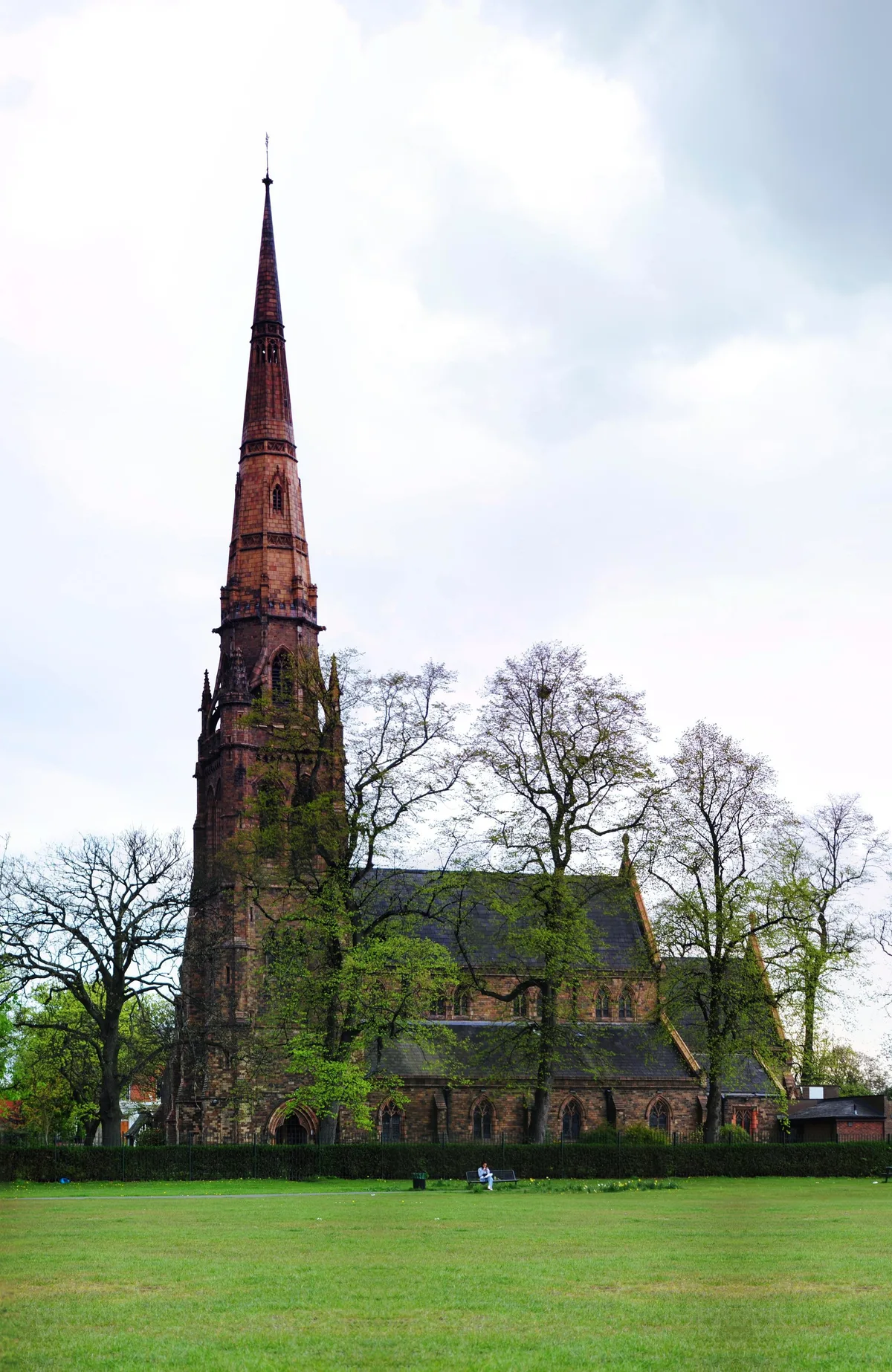
Holy Trinity Platt Church
Holy Trinity Platt Church — church in Manchester, Greater Manchester, England, UK.
 📷 3
📷 3Museums · West Midlands
Platt Hall
Platt Hall — a museum in england-west-midlands, United Kingdom.
 📷 5
📷 5Historic churches · West Midlands
Shahjalal Mosque and Islamic Centre
Shahjalal Mosque and Islamic Centre — a church in england-west-midlands, United Kingdom.
 📷 4
📷 4Gardens · West Midlands
Toast Rack
Toast Rack — a garden in england-west-midlands, United Kingdom.
 📷 5
📷 5Historic churches · West Midlands
Dickenson Road Studios
Dickenson Road Studios was a film and television studio in Rusholme, Manchester, in north-west England. It was originally set up in 1947 in a former Wesleyan Methodist chapel by the film production co
 📷 4
📷 4Historic houses · West Midlands
Ashburne Hall
Ashburne Hall — a Grade II*-listed historic house in england-west-midlands, United Kingdom.
More places run by Manchester City Council
 📷 4
📷 4Parks · West Midlands
Alexandra Park, Manchester
Alexandra Park, Manchester — park in Whalley Range, United Kingdom.
 📷 3
📷 3Parks · West Midlands
Philips Park
Philips Park — park in Clayton, Manchester, UK.
 📷 3
📷 3Parks · West Midlands
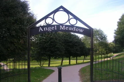
St Michael's Flags and Angel Meadow Park
St Michael's Flags and Angel Meadow Park is a park in the United Kingdom.
 📷 3
📷 3Parks · West Midlands
Whitworth Park
Whitworth Park — park in Rusholme, United Kingdom.
More parks in this region
 📷 4
📷 4Parks · West Midlands
Abbey Park
Abbey Park — public park in Leicester, England, UK.
 📷 4
📷 4Parks · West Midlands
Albert Park
Albert Park — park in Abingdon, Oxfordshire, England, UK.
 📷 5
📷 5Parks · West Midlands
Buile Hill Park
Buile Hill Park — park in Seedley, Salford, Greater Manchester, England, UK.
 📷 3
📷 3Parks · West Midlands
Campbell Park
Campbell Park — park in Central Milton Keynes, Buckinghamshire, England, UK.
Frequently asked questions
- Where is Platt Fields Park?
- Platt Fields Park is in the West Midlands, United Kingdom (postcode M14 6HS), in the parish of Manchester, unparished area.
- Who runs Platt Fields Park?
- Platt Fields Park is operated by Manchester City Council.
- Is Platt Fields Park free to visit?
- Yes, Platt Fields Park is free to enter.
- How do I get to Platt Fields Park?
- The nearest railway station is Mauldeth Road, about 1.9 km away. Drivers can navigate to postcode M14 6HS.