Historic churches · West Midlands
Rusholme
Rusholme () is an area of Manchester, in Greater Manchester, England, two miles (three kilometres) south of the city centre. The population of the ward at the 2011 census was 13,643. Rusholme is bound

Alexander P Kapp — CC BY-SA 2.0 via Wikimedia Commons licence
Plan your visit
- Typical visit
- 30 min–1 h
- Free entry
About
Rusholme () is an area of Manchester, in Greater Manchester, England, two miles (three kilometres) south of the city centre. The population of the ward at the 2011 census was 13,643. Rusholme is bounded by Chorlton-on-Medlock to the north, Victoria Park and Longsight to the east, Fallowfield to the south and Moss Side to the west. It has a large student population, with several student halls and many students renting terraced houses, and suburban houses towards Victoria Park.
Photo gallery
From the Wikipedia article
Rusholme () is an area of Manchester, in Greater Manchester, England, two miles (three kilometres) south of the city centre. The population of the ward at the 2011 census was 13,643. Rusholme is bounded by Chorlton-on-Medlock to the north, Victoria Park and Longsight to the east, Fallowfield to the south and Moss Side to the west. It has a large student population, with several student halls and many students renting terraced houses, and suburban houses towards Victoria Park.
Excerpt from Wikipedia under CC BY-SA 4.0. See the source article linked in Sources below.
Background
History
Late in the Roman occupation of Britain, a hoard of about 200 gold coins was hidden in the valley of the Gore Brook. These date from the 2nd and 3rd centuries CE and were found where Birchfields Road crosses the brook in the 1890s. They are now held in the Manchester Museum. The name Rusholme first appears in the mid-13th century, when "Russum" is mentioned. A house is known to have existed at Platt at that time, which was replaced by a larger one of black-and-white construction. This remained the home of the Platts until the present classical building replaced it in the mid-18th century. An early record of the Platt estate mentions the Nico Ditch, an 8th or 9th-century Anglo-Saxon linear…
Sourced from Wikipedia under CC BY-SA 4.0.
- Coordinates
- 53.4544, -2.2247
- District
- Manchester
- Parish
- Manchester, unparished area
- Postcode
- M14 5AL
- Parliamentary constituency
- Manchester Rusholme
- Official site
- shahjalalmosque.org
Sources
- wikipedia: Rusholme (CC BY-SA 4.0)
Other places nearby
Loading nearby places…
Nearby
 📷 4
📷 4Gardens · West Midlands
Greygarth Hall
Greygarth Hall — a garden in england-west-midlands, United Kingdom.
📷 5Historic churches · West Midlands
Manchester Central Mosque
Manchester Central Mosque — a mosque in england-west-midlands, United Kingdom.
 📷 5
📷 5Historic churches · West Midlands
Shahjalal Mosque and Islamic Centre
Shahjalal Mosque and Islamic Centre — a church in england-west-midlands, United Kingdom.
 📷 5
📷 5Historic churches · West Midlands
Dickenson Road Studios
Dickenson Road Studios was a film and television studio in Rusholme, Manchester, in north-west England. It was originally set up in 1947 in a former Wesleyan Methodist chapel by the film production co
 📷 5
📷 5Historic churches · West Midlands
Manchester Central Mosque & Islamic Cultural Centre
Manchester Central Mosque & Islamic Cultural Centre — a church in england-west-midlands, United Kingdom.
 📷 3
📷 3Museums · West Midlands
Platt Hall
Platt Hall — a museum in england-west-midlands, United Kingdom.
More places in this region
 📷 3
📷 3Historic churches · West Midlands
All Saints Chapel, Somerford
All Saints Chapel, Somerford — church in Cheshire East, Cheshire, England, UK.
 📷 4
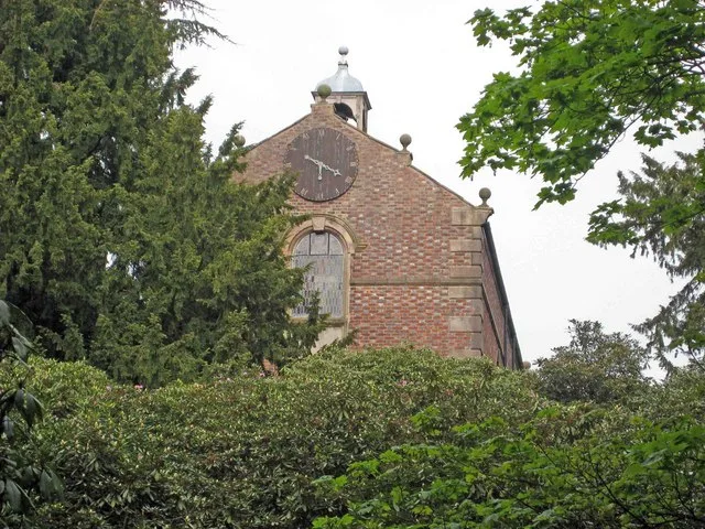
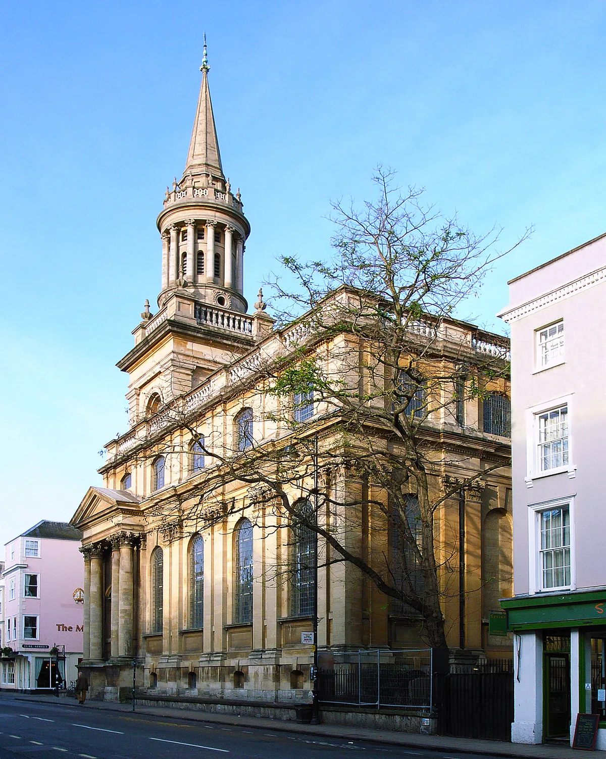
📷 4Historic churches · West Midlands
All Saints Church
All Saints Church — church building in Oxford, UK.
 📷 3
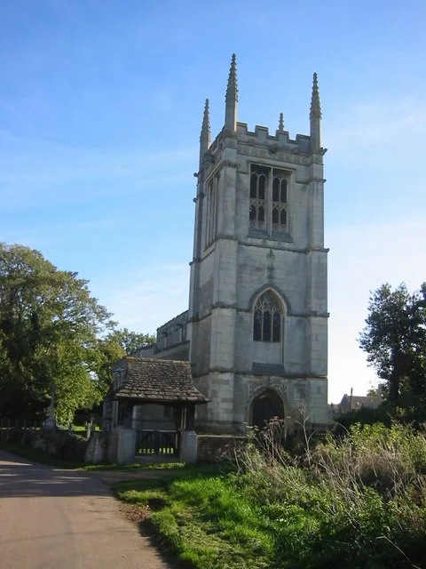
📷 3Historic churches · West Midlands
All Saints Church, Aldwincle
All Saints Church, Aldwincle — church in Aldwincle, Northamptonshire, UK.
 📷 3
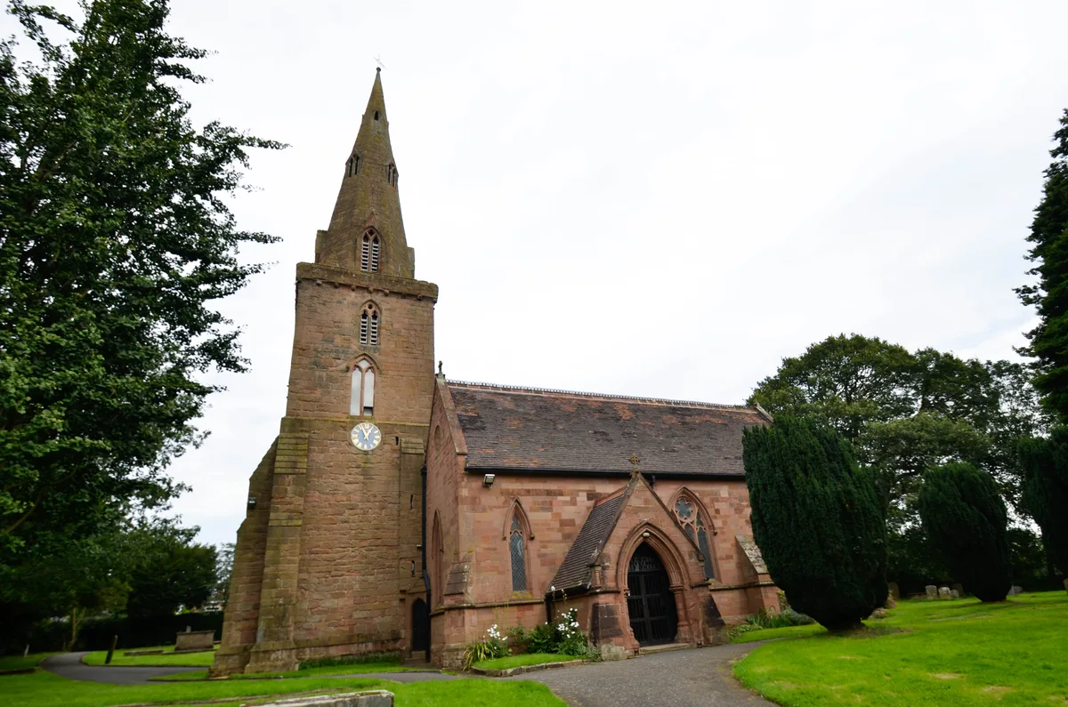
📷 3Historic churches · West Midlands
All Saints Church, Allesley
All Saints Church, Allesley — Grade I listed church in Coventry, West Midlands, England, UK.
Frequently asked questions
- Where is Rusholme?
- Rusholme is in the West Midlands, United Kingdom (postcode M14 5AL), in the parish of Manchester, unparished area.
- Is Rusholme free to visit?
- Yes, Rusholme is free to enter.
- How do I get to Rusholme?
- Drivers can navigate to postcode M14 5AL. It sits within the Manchester Rusholme parliamentary constituency.