Natural landmarks · North Wales
Pen yr Ole Wen
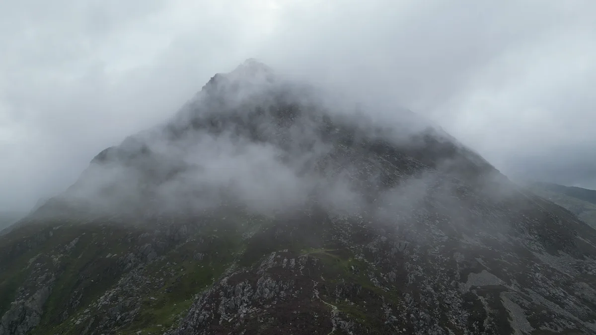
Pen yr Ole Wen — mountain (978m) in Gwynedd.

Wikimedia Commons contributors — see linked file page for photographer and licence licence
Plan your visit
- Typical visit
- 1 h–2 h
- Nearest railway station
- Gilfach Ddu · 7.2 km
- Free entry
- Dog-friendly
About
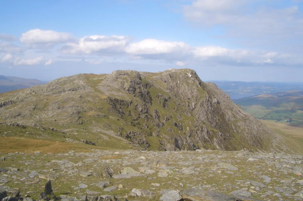
Pen yr Ole Wen is a named natural landmark in the United Kingdom. Part of Eryri National Park. Wikidata describes it as: "mountain (978m) in Gwynedd". Coordinates: 53.1377°, -4.0107°.
Photo gallery
From the Wikipedia article
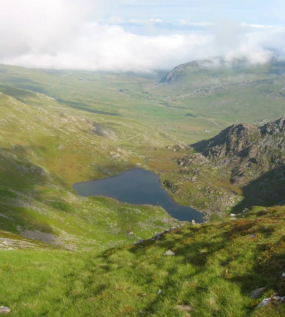
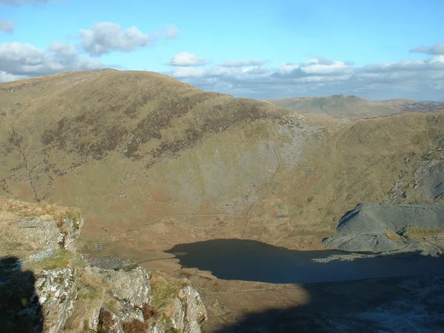
Pen yr Ole Wen is the seventh highest mountain in Snowdonia and in Wales. It is the most southerly of the Carneddau range. The mountain lies to the north of Idwal Cottage youth hostel on the A5 road, from where it has a pyramidal appearance. It may be climbed from the hostel by a path that leads directly up the south west "corner", climbing 675 m (2,215 ft) in about 1.5 km (0.9 mi) (i.e. an average gradient of nearly 1 in 2). A slightly easier ascent involves starting from Tal-y-Llyn Ogwen, about a mile north-east from the hostel, following the stream until nearing the outflow from the mountain lake Ffynnon Lloer and then branching left to take the path up the ridge. For many years the mountain's name was translated as "Head of the White Light", the interpretation of which was a mystery. However, in 2004 Professor Hywel Wyn Owen at the Place-Name Research Centre at Bangor University in Bangor, Gwynedd resolved the matter saying that Ole comes from Goleddf, which means slope or hillside, making the correct English translation: "Head of the White Slope". Pen yr Ole Wen is often climbed as part of a longer route on the Carneddau range. It is the same height as England's highest peak, Scafell Pike. The mountain's average temperature hovers around 5 degrees Celsius (41 °F).
Excerpt from Wikipedia under CC BY-SA 4.0. See the source article linked in Sources below.
- Coordinates
- 53.1377, -4.0107
- District
- Gwynedd
- Parish
- Llandygai
- Postcode
- LL57 3LZ
- Parliamentary constituency
- Bangor Aberconwy
- Nearest railway station
- Gilfach Ddu — 7.2 km
Sources
- wikidata: Q1613487 (CC0)
- wikipedia: Pen yr Ole Wen (CC BY-SA 4.0)
- commons: Pen yr Ole Wen 7fed mynydd uchaf Cymru, Eryri National Park 16.png (CC BY-SA 4.0)
Other places nearby
Loading nearby places…
Nearby
 📷 3
📷 3Mountains & hills · North Wales
Pen Yr Ole Wen
Pen Yr Ole Wen — Named summit at 978 m.
 📷 3
📷 3Natural landmarks · North Wales
Ffynnon Lloer
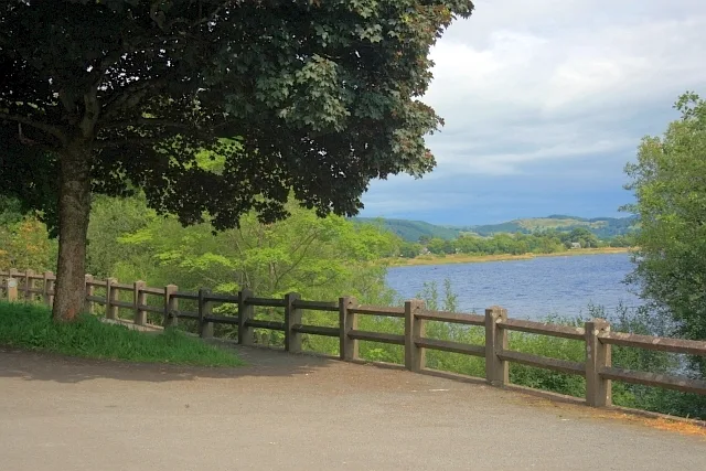
Ffynnon Lloer — lake in Conwy County Borough, Wales, UK.
 📷 3
📷 3Mountains & hills · North Wales
Carnedd Dafydd
Carnedd Dafydd — Named summit at 1044 m.
 📷 3
📷 3Natural landmarks · North Wales
Carnedd Dafydd
Carnedd Dafydd — mountain (1044m) in Gwynedd.
 📷 5
📷 5Historic bridges · North Wales
Pont Pen-y-benglog
Pont Pen-y-benglog — Grade II listed building-listed bridge in wales-north, United Kingdom.
 📷 5
📷 5Reservoirs & lochs · North Wales
Llyn Ogwen
Llyn Ogwen — reservoir in the United Kingdom.
More natural landmarks in this region
 Flagship📷 5
Natural landmarks · North Wales
Llyn Llydaw
Llyn Llydaw is a natural landmark in the United Kingdom.
 📷 5
📷 5Natural landmarks · North Wales
Llyn Tegid
Llyn Tegid is a natural landmark in the United Kingdom.
 📷 3
📷 3Natural landmarks · North Wales
Allt-fawr
Allt-fawr — mountain (698m) in Gwynedd, Wales.
 📷 3
📷 3Natural landmarks · North Wales
Aran Benllyn
Aran Benllyn — mountain (885m) in Gwynedd.
Frequently asked questions
- Where is Pen yr Ole Wen?
- Pen yr Ole Wen is in North Wales, United Kingdom (postcode LL57 3LZ), in the parish of Llandygai.
- Is Pen yr Ole Wen free to visit?
- Yes, Pen yr Ole Wen is free to enter.
- How do I get to Pen yr Ole Wen?
- The nearest railway station is Gilfach Ddu, about 7.2 km away. Drivers can navigate to postcode LL57 3LZ.