Mountains & hills · South Wales
Pen Cerrig-calch
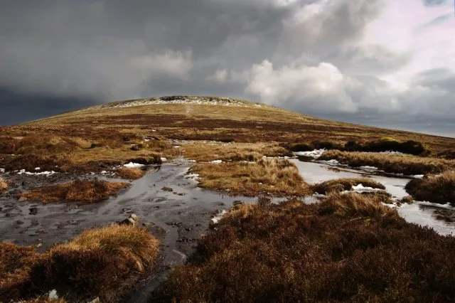
Pen Cerrig-calch — Named summit at 711 m.

Wikimedia Commons contributors — see linked file page for photographer and licence licence
Plan your visit
- Typical visit
- 3 h–8 h
- Best time of year
- Late spring – early autumn (May–Oct)
- Free entry
- Dog-friendly
About
Pen Cerrig-calch is a named summit in the United Kingdom. Wikidata describes it as: "Named summit at 711 m.". Coordinates: 51.8943°, -3.1392°.
Photo gallery
From the Wikipedia article
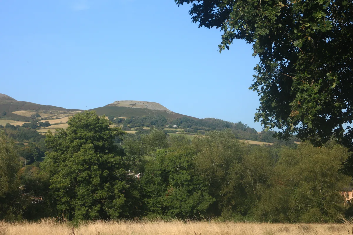
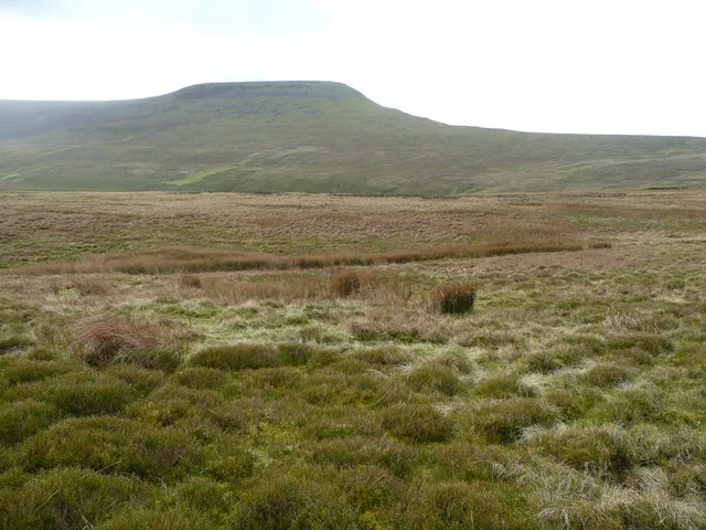
Pen Cerrig-calch is a subsidiary summit of Waun Fach in the Black Mountains in the Brecon Beacons National Park in southern Powys, Wales. Its summit, at a height of 701 m (2,300 ft), is marked by a trig point. The peak sits high above the River Usk valley as it narrows above the small town of Crickhowell. The views from here are wide-ranging and extend as far as the Beacons themselves to the west. A ridge runs off to the northwest and the shoulder of Pen Gloch-y-pibwr then turns north to the secondary top of Pen Allt-mawr whose peak at 719m is also crowned by a trig point.
Excerpt from Wikipedia under CC BY-SA 4.0. See the source article linked in Sources below.
Background
Visiting
The upper parts of the hill are mapped as access land. Various footpaths approach the open access land from the Usk Valley and from the valley of the Grwyne Fechan to the east. The Beacons Way skirts the hill's southern and western slopes. The most popular route to the summit is the approach up the southeastern spur from Crug Hywel (Table Mountain).
Sourced from Wikipedia under CC BY-SA 4.0.
- Coordinates
- 51.8943, -3.1392
- District
- Powys
- Parish
- The Vale of Grwyney
- Postcode
- NP8 1SY
- Parliamentary constituency
- Brecon, Radnor and Cwm Tawe
Sources
- osm: n300655864 (ODbL)
- wikipedia: Pen Cerrig-calch (CC BY-SA 4.0)
- commons: Pen Cerrig-calch - geograph.org.uk - 737354.jpg (CC BY-SA 4.0)
Other places nearby
Loading nearby places…
Nearby
 📷 3
📷 3Natural landmarks · South Wales
Pen Cerrig-calch
Pen Cerrig-calch — mountain (701m) in Powys.
 📷 5
📷 5Historic bridges · South Wales
Pont Cwm Banw
Pont Cwm Banw — Grade II listed building-listed bridge in wales-south, United Kingdom.
 📷 3
📷 3Archaeological sites · South Wales
Crug Hywel Camp
Crug Hywel Camp — a archaeological in wales-south, United Kingdom.
Vineyards · South Wales
Crug Hywel
Crug Hywel — a UK vineyard in wales south, producing English or Welsh wine from cool-climate grape varieties.
 📷 3
📷 3Mountains & hills · South Wales
Table Mountain
Table Mountain — Named summit at 451 m.
 📷 3
📷 3Mountains & hills · South Wales
Pen Allt-mawr
Pen Allt-mawr — Named summit at 720 m.
More mountains in this region
 Flagship📷 3
Mountains & hills · South Wales
Milford Haven Waterway
Milford Haven Waterway — ria, or flooded valley, in Pembrokeshire, south-west Wales, UK.
 📷 5
📷 5Mountains & hills · South Wales
Ogof Ffynnon Ddu
Ogof Ffynnon Ddu — cave in the Upper Swansea Valley in South Wales.
 📷 3
📷 3Mountains & hills · South Wales
Abereiddi Bay
Abereiddi Bay — bay in the United Kingdom.
 📷 3
📷 3Mountains & hills · South Wales
Allt Lwyd
Allt Lwyd — Named summit at 653 m.
Frequently asked questions
- Where is Pen Cerrig-calch?
- Pen Cerrig-calch is in South Wales, United Kingdom (postcode NP8 1SY), in the parish of The Vale of Grwyney.
- Is Pen Cerrig-calch free to visit?
- Yes, Pen Cerrig-calch is free to enter.
- How do I get to Pen Cerrig-calch?
- Drivers can navigate to postcode NP8 1SY. It sits within the Brecon, Radnor and Cwm Tawe parliamentary constituency.