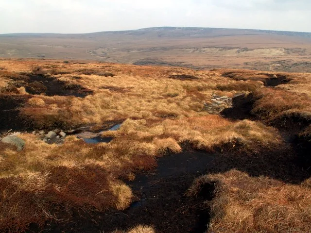
Mountains & hills · Yorkshire & the Humber
Peakshole Water
Peakshole Water is a stream in the Derbyshire Peak District of England, named after its source, Peak Cavern. It flows through the village of Castleton to join the River Noe in nearby Hope. Despite its

Stephen McKay — CC BY-SA 2.0 via Wikimedia Commons licence
Plan your visit
- Typical visit
- 3 h–8 h
- Best time of year
- Late spring – early autumn (May–Oct)
- Free entry
- Dog-friendly
- Wheelchair accessible
About
Peakshole Water is a stream in the Derbyshire Peak District of England, named after its source, Peak Cavern. It flows through the village of Castleton to join the River Noe in nearby Hope. Despite its name, much of its flow actually emerges from the Russet Well, a resurgence in a garden on the east side of the gorge below the main Peak Cavern entrance, described as the "main resurgence of the Castleton area", which drains a series of swallets on the other side of the Pennine watershed below Rushup Edge. The resurgence has been explored by cave divers to a depth of 82 feet (25 m) but further exploration was halted by a constriction. The River Noe flows into the Derbyshire Derwent, which in turn leads to the River Trent and thence to the Humber estuary and the North Sea. The stream once powered a corn mill in Castleton which remained in use until about 1920. The 10–12ft diameter water wheel survived until the 1950s. Little is left of the mill, apart from the wheel pit and the mill pond. A public footpath leads from Castleton past the mill and follows close to the stream as far as Pindale Road south of Hope. The stream has one main tributary, Odin Sitch, which rises above Odin Mine on the slopes of Mam Tor and joins Peakshole Water north of the visitor centre in Castleton.
Photo gallery
From the Wikipedia article
Peakshole Water is a stream in the Derbyshire Peak District of England, named after its source, Peak Cavern. It flows through the village of Castleton to join the River Noe in nearby Hope. Despite its name, much of its flow actually emerges from the Russet Well, a resurgence in a garden on the east side of the gorge below the main Peak Cavern entrance, described as the "main resurgence of the Castleton area", which drains a series of swallets on the other side of the Pennine watershed below Rushup Edge. The resurgence has been explored by cave divers to a depth of 82 feet (25 m) but further exploration was halted by a constriction. The River Noe flows into the Derbyshire Derwent, which in turn leads to the River Trent and thence to the Humber estuary and the North Sea. The stream once powered a corn mill in Castleton which remained in use until about 1920. The 10–12ft diameter water wheel survived until the 1950s. Little is left of the mill, apart from the wheel pit and the mill pond. A public footpath leads from Castleton past the mill and follows close to the stream as far as Pindale Road south of Hope. The stream has one main tributary, Odin Sitch, which rises above Odin Mine on the slopes of Mam Tor and joins Peakshole Water north of the visitor centre in Castleton.
Excerpt from Wikipedia under CC BY-SA 4.0. See the source article linked in Sources below.
- Coordinates
- 53.3419, -1.7783
- County
- Derbyshire
- District
- High Peak
- Parish
- Castleton
- Postcode
- S33 8WX
- Parliamentary constituency
- High Peak
- Official site
- www.peakdistrict.gov.uk
Sources
- wikipedia: Peakshole Water (CC BY-SA 4.0)
Other places nearby
Loading nearby places…
Nearby
 📷 5
📷 5Caves · East Midlands
Peakshole Sough
Peakshole Sough — a cave broad in england-east-midlands, United Kingdom.
 📷 3
📷 3Castles · East Midlands
Peveril Castle Visitor Centre
Peveril Castle Visitor Centre — a castle in england-east-midlands, United Kingdom.
 📷 3
📷 3Memorials & monuments · East Midlands
Castleton War Memorial
Castleton War Memorial is a memorial in the United Kingdom.
 📷 3
📷 3Museums · East Midlands
Castleton Village Museum
Castleton Village Museum — a museum in england-east-midlands, United Kingdom.
 📷 3
📷 3Memorials & monuments · East Midlands
Roll of Honour
Roll of Honour is a memorial in the United Kingdom.
📷 3Memorials & monuments · East Midlands
Roll of Honour
Roll of Honour is a memorial in the United Kingdom.
More mountains in this region
 📷 3
📷 3Mountains & hills · Yorkshire & the Humber
Black Chew Head
Black Chew Head — Named summit at 542 m.
 📷 3
📷 3Mountains & hills · Yorkshire & the Humber
Black Hill
Black Hill — Named summit at 582 m.
 📷 3
📷 3Mountains & hills · Yorkshire & the Humber
Britland Edge Hill
Britland Edge Hill — Named summit at 523 m.
 📷 3
📷 3Mountains & hills · Yorkshire & the Humber
Calver Hill
Calver Hill — Named summit at 493 m.
Frequently asked questions
- Where is Peakshole Water?
- Peakshole Water is in Derbyshire, Yorkshire, United Kingdom (postcode S33 8WX), in the parish of Castleton.
- Is Peakshole Water free to visit?
- Yes, Peakshole Water is free to enter.
- How do I get to Peakshole Water?
- Drivers can navigate to postcode S33 8WX. It sits within the High Peak parliamentary constituency.