Caves · East Midlands
Devil's Arse (Peak Cavern)
Devil's Arse (Peak Cavern) is a cave in the United Kingdom.

Wikimedia Commons contributors — see linked file page for photographer and licence licence
Plan your visit
- Typical visit
- 45 min–1.5 h
- Nearest railway station
- Hope · 3.3 km
- Free entry
- Family-friendly
- Dog-friendly
About
Devil's Arse (Peak Cavern) is a named cave entrance in the United Kingdom. Coordinates: 53.3401°, -1.7784°. This entry is part of The Great Britain Guide, a free, ad-free, open-data tourist directory.
Photo gallery
Protected designations
- Site of Special Scientific Interest: Castleton SSSI
Designations sourced from Natural England open data under OGL v3.
From the Wikipedia article
Peak Cavern, also known as the Devil's Arse, is one of the four show caves in Castleton, Derbyshire, England. Peakshole Water flows through and out of the cave, which has the largest natural cave entrance in Britain.
Excerpt from Wikipedia under CC BY-SA 4.0. See the source article linked in Sources below.
Background
Description
Unlike the other show caves in the area, Peak Cavern is almost entirely natural; the only artificial part of the cave was blasted to bypass a low tunnel that was only accessible by lying down on a boat. The cave system is the largest in the Peak District, and the main entrance is the largest cave entrance in Britain. troglodytes, who lived in houses built inside the cave mouth and made a living from rope making, while the depths of the cave were known as a haven for bandits. In legend, it was where thieves' cant was created by a meeting between Cock Lorel, leader of the rogues, and Giles Hather, the King of the Gypsies. Several passages lead from the entrance, known as "The Vestibule". The…
Sourced from Wikipedia under CC BY-SA 4.0.
- Coordinates
- 53.3401, -1.7784
- County
- Derbyshire
- District
- High Peak
- Parish
- Castleton
- Postcode
- S33 8WS
- Parliamentary constituency
- High Peak
- Nearest railway station
- Hope — 3.3 km
- Official site
- www.peakdistrict.gov.uk
Sources
- osm: n255174652 (ODbL)
- wikipedia: Peak Cavern (CC BY-SA 4.0)
- commons: Peak Cavern 2015 05.jpg (CC BY-SA 4.0)
Other places nearby
Loading nearby places…
Nearby
 📷 3
📷 3Castles · East Midlands
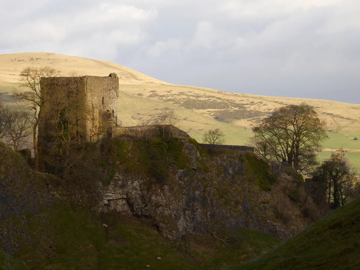
Peveril Castle
Peveril Castle — castle in Castleton, Derbyshire, England, UK.
 📷 5
📷 5Caves · East Midlands
Peakshole Sough
Peakshole Sough — a cave broad in england-east-midlands, United Kingdom.
 📷 4
📷 4Mountains & hills · Yorkshire & the Humber
Peakshole Water
Peakshole Water is a stream in the Derbyshire Peak District of England, named after its source, Peak Cavern. It flows through the village of Castleton to join the River Noe in nearby Hope. Despite its
 📷 3
📷 3Castles · East Midlands
Peveril Castle Visitor Centre
Peveril Castle Visitor Centre — a castle in england-east-midlands, United Kingdom.
 📷 3
📷 3Memorials & monuments · East Midlands
Roll of Honour
Roll of Honour is a memorial in the United Kingdom.
 📷 3
📷 3Memorials & monuments · East Midlands
Castleton War Memorial
Castleton War Memorial is a memorial in the United Kingdom.
More caves in this region
 📷 3
📷 3Caves · East Midlands
Bagshawe Cavern
Bagshawe Cavern is a cave in the United Kingdom.
 📷 5
📷 5Caves · East Midlands
Blue John Cavern
Blue John Cavern is a cave in the United Kingdom.
 📷 3
📷 3Caves · East Midlands
Boat House Cave
Boat House Cave is a cave in the United Kingdom.
 📷 3
📷 3Caves · East Midlands
Church Hole
Church Hole is a cave in the United Kingdom.
Frequently asked questions
- Where is Devil's Arse (Peak Cavern)?
- Devil's Arse (Peak Cavern) is in Derbyshire, the East Midlands, United Kingdom (postcode S33 8WS), in the parish of Castleton.
- Is Devil's Arse (Peak Cavern) a protected site?
- Yes — Devil's Arse (Peak Cavern) is part of the Castleton SSSI Site of Special Scientific Interest.
- Is Devil's Arse (Peak Cavern) free to visit?
- Yes, Devil's Arse (Peak Cavern) is free to enter.
- How do I get to Devil's Arse (Peak Cavern)?
- The nearest railway station is Hope, about 3.3 km away. Drivers can navigate to postcode S33 8WS.