Cemeteries · South Wales
Pant Cemetery
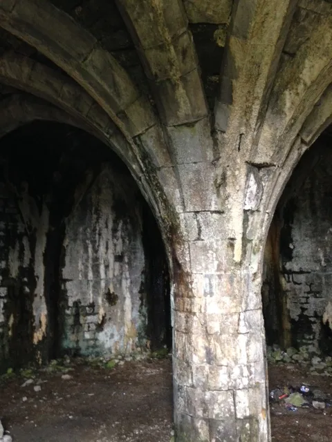
Pant Cemetery is a cemetery in the United Kingdom.

Wikimedia Commons contributors — see linked file page for photographer and licence licence
Plan your visit
- Typical visit
- 30 min–1 h
- Nearest railway station
- Pant · 0.4 km
- Free entry
- Dog-friendly
About
Pant Cemetery is a cemetery in South Wales of architectural and local-history note. Built or established in 1860, it dates from the Victorian period. It sits within the Merthyr Tydfil and Aberdare parliamentary constituency. The nearest railway station is Pant, about 0.4 km away. Postcode area CF48.
Photo gallery
Place summary
Pant Cemetery is a Victorian cemetery located in Pant, South Wales, postcode CF48. Established in 1860, it serves as a burial ground for the local community, reflecting the architectural and social values of its time.
AI-generated from the structured facts on this page (operator, designation, listing, era). Not a substitute for visiting.
- Coordinates
- 51.7742, -3.3640
- District
- Merthyr Tydfil
- Parish
- Pant
- Postcode
- CF48 2DW
- Parliamentary constituency
- Merthyr Tydfil and Aberdare
- Established
- 1860
- Nearest railway station
- Pant — 0.4 km
- Official site
- www.breconmountainrailway.co.uk
Sources
- osm: w130853717 (ODbL)
- commons: Pant Cemetery - geograph.org.uk - 2791344.jpg (CC BY-SA 4.0)
Other places nearby
Loading nearby places…
Nearby
 📷 3
📷 3Natural landmarks · South Wales
Pant
Pant — a other in wales-south, United Kingdom.
 📷 5
📷 5Memorials & monuments · South Wales
The War Memorial, screen walls and surrounding railings
The War Memorial, screen walls and surrounding railings — Grade II listed building-listed memorial in wales-south, United Kingdom.
 📷 3
📷 3Castles · South Wales
Morlais Castle
Morlais Castle — hillfort in Merthyr Tydfil County Borough, Wales.
 📷 5
📷 5Historic bridges · South Wales
White Gate Road Bridge and Aqueduct
White Gate Road Bridge and Aqueduct — Grade II listed building-listed bridge in wales-south, United Kingdom.
 📷 5
📷 5Historic churches · South Wales
Ivor English Congregational Church
Ivor English Congregational Church — Grade II listed building-listed church in wales-south, United Kingdom.
 📷 5
📷 5Historic bridges · South Wales
Pont-sarn
Pont-sarn — Grade II listed building-listed bridge in wales-south, United Kingdom.
Other cemeteries from this era
 📷 5
📷 5Cemeteries · London
Abney Park
Abney Park is a cemetery in the United Kingdom.
 📷 5
📷 5Cemeteries · London
Bells Hill Cemetery
Bells Hill Cemetery is a cemetery in the United Kingdom.
 📷 5
📷 5Cemeteries · London
Brockley and Ladywell Cemeteries
Brockley and Ladywell Cemeteries is a cemetery in the United Kingdom.
 📷 5
📷 5Cemeteries · London
Brompton Cemetery
Brompton Cemetery is a cemetery in the United Kingdom.
More cemeteries in this region
 📷 4
📷 4Cemeteries · South Wales
Aberdare Cemetery
Aberdare Cemetery is a cemetery in the United Kingdom.
 📷 3
📷 3Cemeteries · South Wales
Aberfan Cemetery
Aberfan Cemetery is a cemetery in the United Kingdom.
 📷 3
📷 3Cemeteries · South Wales
Blaenogwr Cemetery
Blaenogwr Cemetery is a cemetery in the United Kingdom.
 📷 3
📷 3Cemeteries · South Wales
Bryn-y-Gaer Cemetery
Bryn-y-Gaer Cemetery is a cemetery in the United Kingdom.
Frequently asked questions
- Where is Pant Cemetery?
- Pant Cemetery is in South Wales, United Kingdom (postcode CF48 2DW), in the parish of Pant.
- When was Pant Cemetery built?
- Built or established in 1860.
- How do I get to Pant Cemetery?
- The nearest railway station is Pant, about 0.4 km away. Drivers can navigate to postcode CF48 2DW.