Harbours & ports · South East England
Pagham Harbour
Pagham Harbour — former harbour and nature reserve in southern England.

Wikimedia Commons contributors — see linked file page for photographer and licence licence
Plan your visit
- Typical visit
- 45 min–1.5 h
- Nearest railway station
- Bognor Regis · 6.3 km
- Family-friendly
- Dog-friendly
About
Pagham Harbour is a harbour in the United Kingdom. Heritage designation: Site of Special Scientific Interest. Wikidata describes it as: "former harbour and nature reserve in southern England". Coordinates: 50.7659°, -0.7584°.
Photo gallery
Protected designations
- Site of Special Scientific Interest: Pagham Harbour SSSI
- Ramsar wetland: Pagham Harbour
Designations sourced from Natural England open data under OGL v3.
From the Wikipedia article
Pagham Harbour is a 629-hectare (1,550-acre) biological and geological Site of Special Scientific Interest on the western outskirts of Bognor Regis in West Sussex. It is a Geological Conservation Review site, a Nature Conservation Review site, a Ramsar site, a Special Protection Area and a Marine Conservation Zone. An area of 599.1 hectares (1,480 acres) is a RSPB Local Nature Reserve. Land owners of the harbour include the Royal Society for the Protection of Birds, the Crown Estate and the Church Commissioners. The harbour forms an area of saltmarsh and shallow lagoons. It is not an estuary, as no major streams enter the harbour with the only freshwater inflow a few small streams draining surrounding fields.
Excerpt from Wikipedia under CC BY-SA 4.0. See the source article linked in Sources below.
Background
History
In earlier times Pagham Harbour was a working harbour with three ports. One port was situated at the western end, of the harbour near Sidlesham Mill, and was known as Wardur. The port of Charlton was at the entrance to the harbour and the third was on the Pagham side of the harbour and was known as the Port of Wythering (Wyderinges). The port of Wardur was part of 'New Haven' a development in the Middle Ages. An attempt was made to drain the harbour for farming in c. 1873 with an embankment constructed across the edge of the lagoon to hold back the sea; this failed during a storm in December 1910 and was not reconstructed. At present the harbour entrance to the sea is just over 40 metres…
Description
The Local Nature Reserve(LNR) is accessed via the B2145 Selsey road. The LNR is managed by the RSPB and is made up of saltmarsh and tidal mudflats with shingle, open water, reed swamp and wet permanent grassland habitats. Examples of birds that have been spotted at the reserve are Little Ringed Plovers, Wood Sandpipers, Avocets, Grey Wagtails, Black-tailed Godwits, Pied Wagtails, Shelducks and Red-necked Phalaropes.
Sourced from Wikipedia under CC BY-SA 4.0.
- Coordinates
- 50.7659, -0.7584
- County
- West Sussex
- District
- Arun
- Parish
- Pagham
- Postcode
- PO21 4NX
- Parliamentary constituency
- Chichester
- Nearest railway station
- Bognor Regis — 6.3 km
Sources
- wikidata: Q7124346 (CC0)
- wikipedia: Pagham Harbour (CC BY-SA 4.0)
- commons: Pagham Harbour Entrance - geograph.org.uk - 501054.jpg (CC BY-SA 4.0)
Other places nearby
Loading nearby places…
Nearby
 📷 5
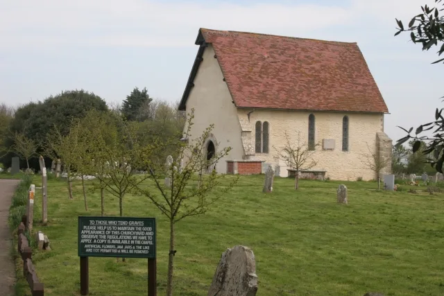
📷 5Historic churches · South East England
The Parish Church of St Thomas A Becket
The Parish Church of St Thomas A Becket — a Grade I-listed church in england-south-east, United Kingdom.
 📷 5
📷 5Historic churches · South East England
St Wilfrid's Chapel, Church Norton
St Wilfrid's Chapel, Church Norton — church in Chichester, UK.
 📷 5
📷 5Abbeys & priories · South East England
Selsey Abbey
Selsey Abbey — former abbey in Selsey, Chichester, England, UK.
 📷 5
📷 5Archaeological sites · South East England
Church Norton Mound
Church Norton Mound — a archaeological in england-south-east, United Kingdom.
Hotels · South East England
The Lion
The Lion — a hotel in england south east.
 📷 5
📷 5Historic houses · South East England
Nyetimber Mill
Nyetimber Mill — a Grade II*-listed historic house in england-south-east, United Kingdom.
More places in this region
 Flagship📷 10
Harbours & ports · South East England
Shoreham-by-Sea
Shoreham-by-Sea — seaside town and port in West Sussex, England.
 📷 5
📷 5Harbours & ports · South East England
Chichester Harbour
Chichester Harbour — Harbour & Site of Special Scientific Interest in Chichester, West Sussex.
 📷 5
📷 5Harbours & ports · South East England
Colt Hill Wharf
Colt Hill Wharf is a harbour in the United Kingdom.
_2025-03-02.jpg?width=1200) 📷 5
📷 5Harbours & ports · South East England
Cormorant
Cormorant — Public artwork (sculpture) by Christian Funnell.
Frequently asked questions
- Where is Pagham Harbour?
- Pagham Harbour is in West Sussex, South-East England, United Kingdom (postcode PO21 4NX), in the parish of Pagham.
- Is Pagham Harbour a listed building?
- Pagham Harbour is officially recognised as Site of Special Scientific Interest listed.
- Is Pagham Harbour a protected site?
- Yes — Pagham Harbour is part of the Pagham Harbour SSSI Site of Special Scientific Interest and the Pagham Harbour Ramsar wetland.
- How do I get to Pagham Harbour?
- The nearest railway station is Bognor Regis, about 6.3 km away. Drivers can navigate to postcode PO21 4NX.