Archaeological sites · London
Pages Wood
Pages Wood — woodland and park in the London Borough of Havering, England, UK.

Wikimedia Commons licence
Plan your visit
- Typical visit
- 45 min–1.5 h
- Nearest railway station
- Harold Wood · 1.2 km
- Free entry
- Dog-friendly
About
Pages Wood is an archaeological site in the United Kingdom. Owned by Forestry England. Part of Thames Chase. Wikidata describes it as: "woodland and park in the London Borough of Havering, England, UK". Coordinates: 51.5860°, 0.2465°.
Photo gallery
From the Wikipedia article
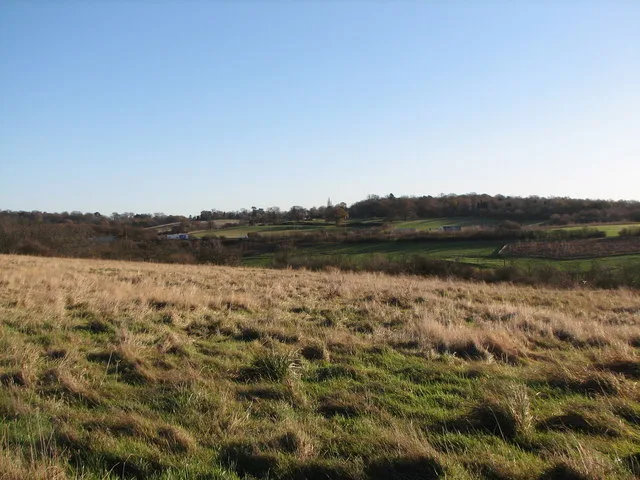
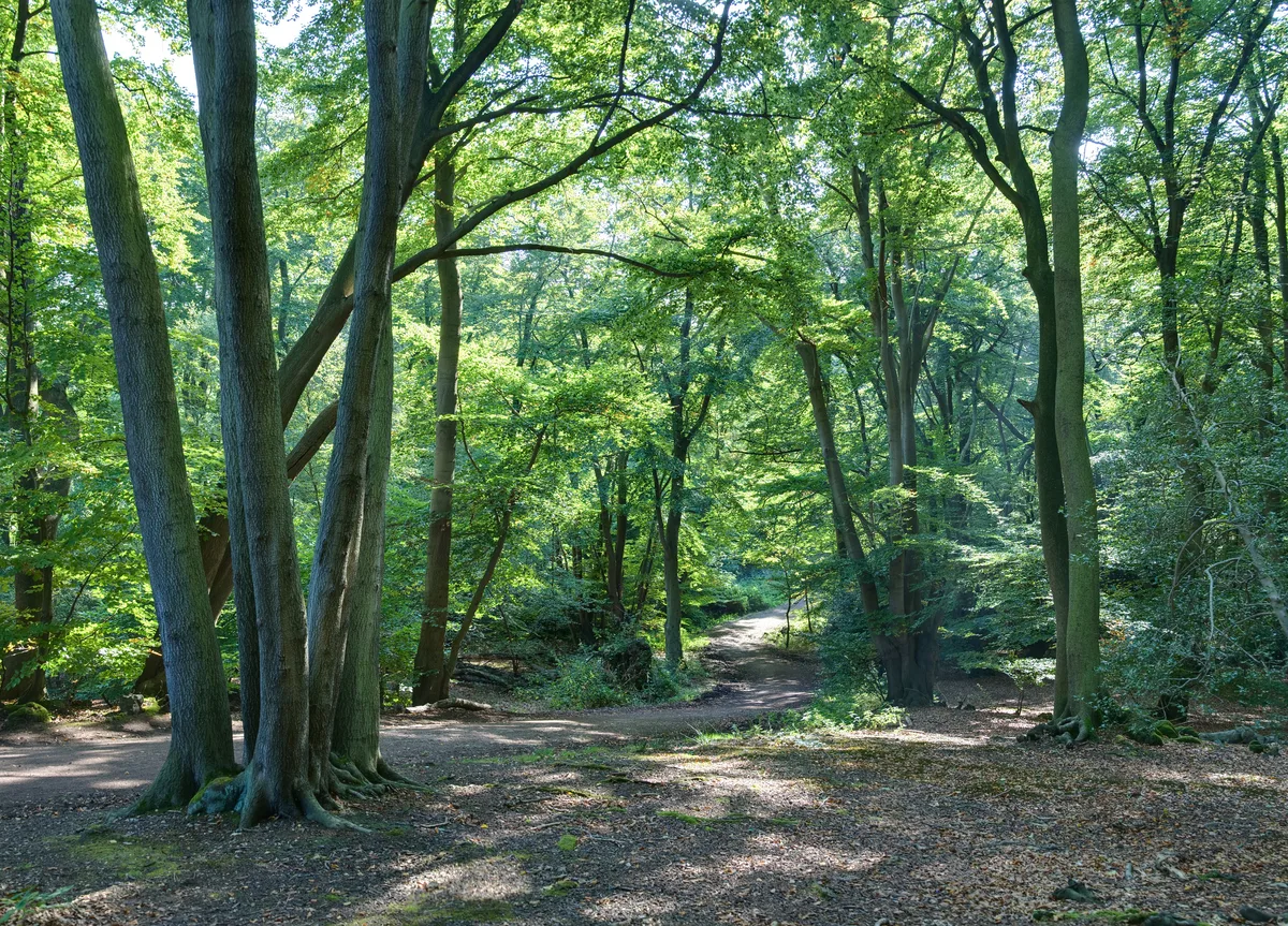
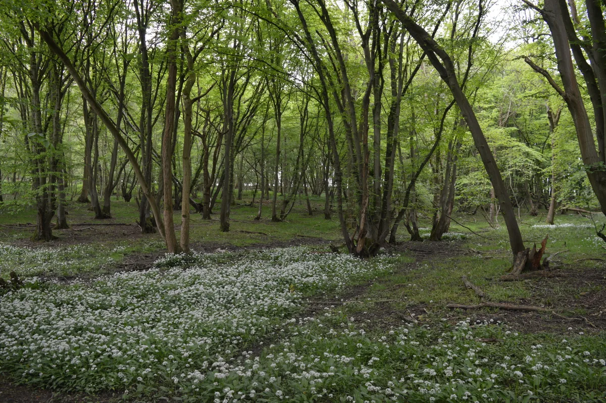
Pages Wood is a 74 hectare wood and public park in Harold Wood in the London Borough of Havering. It is the largest Forestry England site in the Thames Chase Community Forest, and 100,000 trees have been planted since it opened in 2002. It also has meadow areas, 6.5 kilometres of footpaths and 2.2 kilometres of bridlepaths. Its north west boundary is separated from Harold Wood Park by the River Ingrebourne, and the river runs through the south west corner. The London Loop goes through the park. There is access from Hall Lane, where there is a car park, and by a bridge over the river from Harold Wood Park.
Excerpt from Wikipedia under CC BY-SA 4.0. See the source article linked in Sources below.
- Coordinates
- 51.5860, 0.2465
- District
- Havering
- Parish
- Havering, unparished area
- Postcode
- RM3 0NF
- Parliamentary constituency
- Hornchurch and Upminster
- Nearest railway station
- Harold Wood — 1.2 km
Sources
- wikidata: Q15265044 (CC0)
- wikipedia: Pages Wood (CC BY-SA 4.0)
Other places nearby
Loading nearby places…
Nearby
 📷 5
📷 5Parks · London
Tylers Common
Tylers Common — park in United Kingdom.
 📷 5
📷 5Chapels · London
Harold Wood
Harold Wood — a methodist chapel in england-london, United Kingdom.
 📷 5
📷 5Chapels · London
Emerson Park
Emerson Park — a methodist chapel in england-london, United Kingdom.
 📷 5
📷 5Natural landmarks · London
Havering College of Further and Higher Education
Havering College of Further and Higher Education — a school heritage in england-london, United Kingdom.
 📷 5
📷 5Memorials & monuments · London
Well Tower At Tower Lodge
Well Tower At Tower Lodge — Grade II listed building-listed memorial in england-london, United Kingdom.
 📷 5
📷 5Gardens · London
Upminster Court
Upminster Court — a garden in england-london, United Kingdom.
More archaeological sites in this region
 Flagship📷 10
Archaeological sites · London
Epping Forest
Epping Forest — royal forest in England.
 Flagship📷 10
Archaeological sites · London
Grangewood Park
Grangewood Park — park in the United Kingdom.
 Flagship📷 10
Archaeological sites · London
Nunn Wood
Nunn Wood — woods in Essex, England, a Site of Special Scientific Interest.
 📷 5
📷 5Archaeological sites · London
A Bronze Age post alignment and timber platform at Flag Fen and associated Bronze Age and later field systems and settlement to
A Bronze Age post alignment and timber platform at Flag Fen and associated Bronze Age and later field systems and settlement to — archaeological site in Thorney, City of Peterborough, England, UK.
Frequently asked questions
- Where is Pages Wood?
- Pages Wood is in London, United Kingdom (postcode RM3 0NF), in the parish of Havering, unparished area.
- Who owns Pages Wood?
- Pages Wood is owned by Forestry England.
- How do I get to Pages Wood?
- The nearest railway station is Harold Wood, about 1.2 km away. Drivers can navigate to postcode RM3 0NF.