Mountains & hills · South East England
Overton Hill
Overton Hill — Named summit at 170 m.

Wikimedia Commons contributors — see linked file page for photographer and licence licence
Plan your visit
- Typical visit
- 3 h–8 h
- Best time of year
- Late spring – early autumn (May–Oct)
- Nearest railway station
- Pewsey · 8.8 km
- Free entry
- Dog-friendly
About
Overton Hill is a named summit in the United Kingdom. Wikidata describes it as: "Named summit at 170 m.". Coordinates: 51.4117°, -1.8305°.
Photo gallery
Protected designations
- Area of Outstanding Natural Beauty: Cotswolds
- Area of Outstanding Natural Beauty: North Wessex Downs
Designations sourced from Natural England open data under OGL v3.
From the Wikipedia article
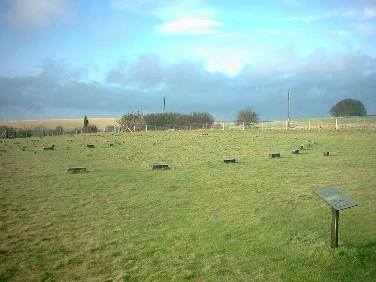
Overton Hill is a 571 ft (174 m) hill at the southern edge of the Marlborough Downs in Wiltshire, England. It lies just west of the village of West Overton and about 4 miles (6 km) west from the town of Marlborough. The A4 road passes close to the north, and to the south is the River Kennet. The hill is notable for being the start point of the Ridgeway National Trail, which follows an ancient trackway. There several scheduled archaeological sites including several round barrows (burial mounds) on it, and the site of an Iron Age wooden circle known as The Sanctuary, indicating human activity for thousands of years. The hill is part of the Avebury section of the Stonehenge and Avebury World Heritage Site.
Excerpt from Wikipedia under CC BY-SA 4.0. See the source article linked in Sources below.
- Coordinates
- 51.4117, -1.8305
- District
- Wiltshire
- Parish
- East Kennett
- Postcode
- SN8 4EY
- Parliamentary constituency
- East Wiltshire
- Nearest railway station
- Pewsey — 8.8 km
Sources
- osm: n345568361 (ODbL)
- wikipedia: Overton Hill (CC BY-SA 4.0)
- commons: Tumuli on Overton Hill.JPG (CC BY-SA 4.0)
Other places nearby
Loading nearby places…
Nearby
 📷 5
📷 5Hill forts · South East England
The Sanctuary
The Sanctuary — English prehistoric site.
 📷 5
📷 5Memorials & monuments · South East England
Lavington Monument In Churchyard, Against South West Corner Of Christ Church
Lavington Monument In Churchyard, Against South West Corner Of Christ Church — Grade II listed building-listed memorial in england-south-east, United Kingdom.
 📷 5
📷 5Archaeological sites · South East England
Silbaby
Silbaby — a archaeological in england-south-east, United Kingdom.
 📷 5
📷 5Burial mounds & barrows · South East England
East Kennett Long Barrow
East Kennett Long Barrow — a burial mound in england-south-east, United Kingdom.
Vineyards · South East England
Medieval settlement remains immediately west of The Vicarage
Medieval settlement remains immediately west of The Vicarage — a UK vineyard in england south east, producing English or Welsh wine from cool-climate grape varieties.
 📷 5
📷 5Hill forts · South East England
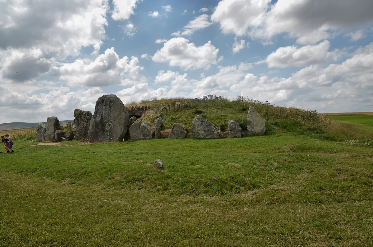
West Kennet Long Barrow
West Kennet Long Barrow — Neolithic tomb or barrow in Wiltshire, England, UK.
More mountains in this region
 📷 5
📷 5Mountains & hills · South East England
Alum Bay
Alum Bay is a mountain or hill in the United Kingdom.
 📷 5
📷 5Mountains & hills · South East England
Arish Mell
Arish Mell — bay in Dorset, England.
 📷 5
📷 5Mountains & hills · South East England
Balaclava Bay
Balaclava Bay — bay in Dorset, England.
 📷 5
📷 5Mountains & hills · South East England
Balch Cave
Balch Cave — Cave in Somerset, England.
Frequently asked questions
- Where is Overton Hill?
- Overton Hill is in South-East England, United Kingdom (postcode SN8 4EY), in the parish of East Kennett.
- Is Overton Hill a protected site?
- Yes — Overton Hill is part of the Cotswolds National Landscape (AONB) and the North Wessex Downs National Landscape (AONB).
- Is Overton Hill free to visit?
- Yes, Overton Hill is free to enter.
- How do I get to Overton Hill?
- Drivers can navigate to postcode SN8 4EY. It sits within the East Wiltshire parliamentary constituency.