Historic churches · West Midlands
Ordsall, Greater Manchester
Ordsall is an inner city suburb of Salford, Greater Manchester, England. The population at the 2011 census was 14,194. It lies chiefly to the south of the A57 road, close to the River Irwell, the main

N Chadwick — CC BY-SA 2.0 via Wikimedia Commons licence
Plan your visit
- Typical visit
- 30 min–1 h
- Free entry
About
Ordsall is an inner city suburb of Salford, Greater Manchester, England. The population at the 2011 census was 14,194. It lies chiefly to the south of the A57 road, close to the River Irwell, the main boundary with the city of Manchester, Salford Quays and Manchester Ship Canal, which divides it from Stretford. Historically part of Lancashire, Ordsall was the birthplace of the bush roller chain and is home to Ordsall Hall.
Photo gallery
From the Wikipedia article
Ordsall is an inner city suburb of Salford, Greater Manchester, England. The population at the 2011 census was 14,194. It lies chiefly to the south of the A57 road, close to the River Irwell, the main boundary with the city of Manchester, Salford Quays and Manchester Ship Canal, which divides it from Stretford. Historically part of Lancashire, Ordsall was the birthplace of the bush roller chain and is home to Ordsall Hall.
Excerpt from Wikipedia under CC BY-SA 4.0. See the source article linked in Sources below.
Background
History
The name Ordsall has Old English origins, being the personal name Ord and the word halh, meaning a corner or nook, which has become the modern dialect word "haugh". This, indeed, describes the position of the manor of Ordsall, for its boundary on the south side is a large bend in the River Irwell, which became the site of the docks for the Manchester Ship Canal. Ordsall first appears in records in 1177 when Ordeshala paid two marks towards an aid, a feudal due or tax. Antiquarian and Geologist, Samuel Hibbert-Ware gave a different etymology for the name; ord is a Saxon word for "primeval" or "very old" and hal meaning "den" - hence the name Ordeshal could mean "very old den". His reasoning…
Sourced from Wikipedia under CC BY-SA 4.0.
- Coordinates
- 53.4740, -2.2780
- District
- Salford
- Parish
- Salford, unparished area
- Postcode
- M5 3QJ
- Parliamentary constituency
- Salford
Sources
- wikipedia: Ordsall, Greater Manchester (CC BY-SA 4.0)
Other places nearby
Loading nearby places…
Nearby
 📷 3
📷 3Abbeys & priories · West Midlands
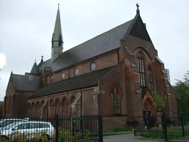
St Clement's Church, Ordsall
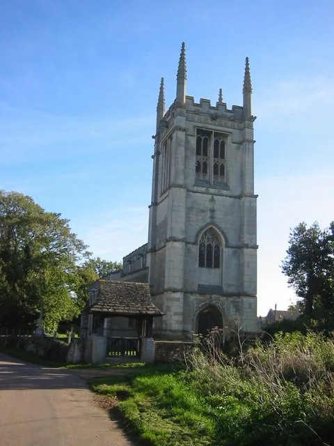
St Clement's Church, Ordsall — grade II listed church in Salford, Greater Manchester, England, UK.
 📷 3
📷 3Cathedrals · North West England
St Clement's Church, Ordsall
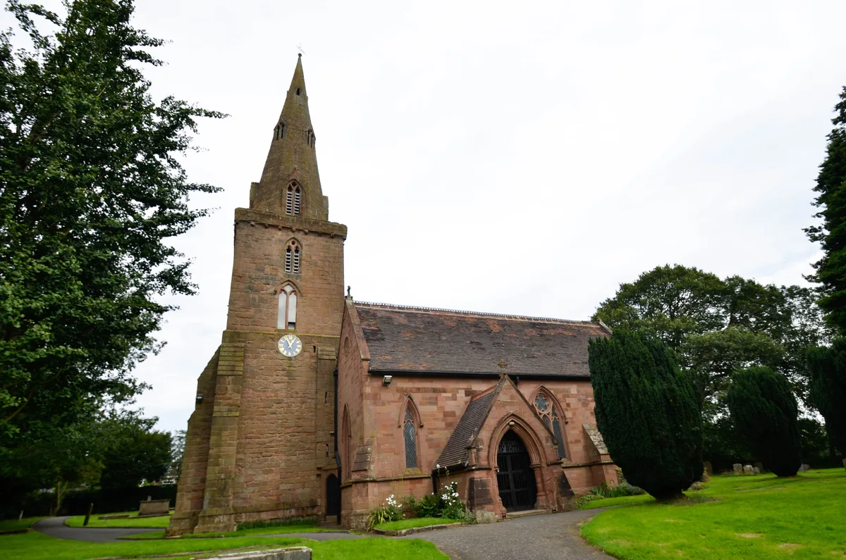
St Clement's Church, Ordsall is a cathedral in the United Kingdom.
 📷 3
📷 3Theatres · North West England
Boro' Cinema
Boro' Cinema in England North West, United Kingdom.
 📷 5
📷 5Historic houses · West Midlands
Salford Lads Club
Salford Lads Club — a Grade II*-listed historic house in england-west-midlands, United Kingdom.
 📷 3
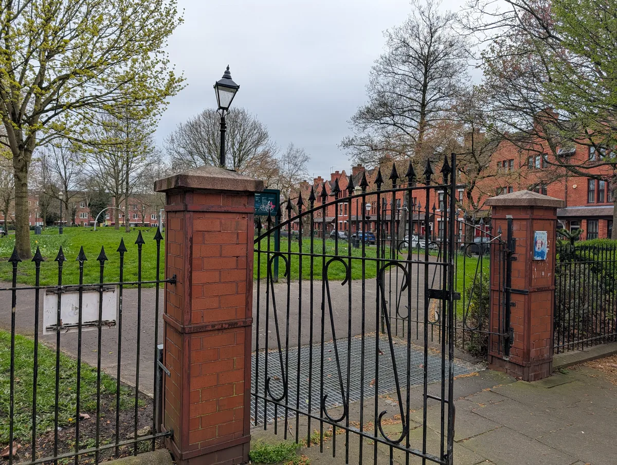
📷 3Country parks · West Midlands
Regent Square
Regent Square — park in Salford, Greater Manchester, England.
📷 3Memorials & monuments · West Midlands
Les Hough
Les Hough — a memorial in england-west-midlands, United Kingdom.
More places in this region
 📷 3
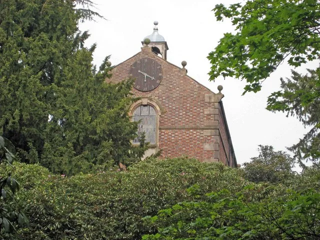
📷 3Historic churches · West Midlands
All Saints Chapel, Somerford
All Saints Chapel, Somerford — church in Cheshire East, Cheshire, England, UK.
 📷 4
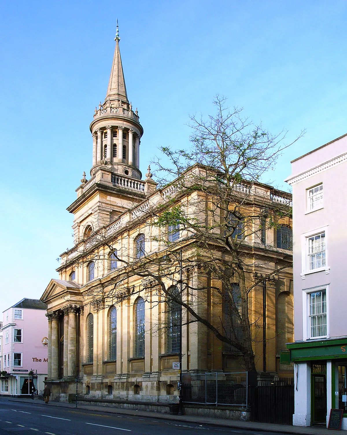
📷 4Historic churches · West Midlands
All Saints Church
All Saints Church — church building in Oxford, UK.
 📷 3
📷 3Historic churches · West Midlands
All Saints Church, Aldwincle
All Saints Church, Aldwincle — church in Aldwincle, Northamptonshire, UK.
 📷 3
📷 3Historic churches · West Midlands
All Saints Church, Allesley
All Saints Church, Allesley — Grade I listed church in Coventry, West Midlands, England, UK.
Frequently asked questions
- Where is Ordsall, Greater Manchester?
- Ordsall, Greater Manchester is in the West Midlands, United Kingdom (postcode M5 3QJ), in the parish of Salford, unparished area.
- Is Ordsall, Greater Manchester free to visit?
- Yes, Ordsall, Greater Manchester is free to enter.
- How do I get to Ordsall, Greater Manchester?
- Drivers can navigate to postcode M5 3QJ. It sits within the Salford parliamentary constituency.