Towns & cities · West Midlands
Newbottle
Newbottle — village and civil parish in Northamptonshire, UK.

Wikimedia Commons contributors — see linked file page for photographer and licence licence
Plan your visit
- Typical visit
- 3 h–6 h
- Nearest railway station
- King's Sutton · 3.0 km
- Free entry
- Family-friendly
- Dog-friendly
About
Newbottle is a town, city, village or settlement in the United Kingdom. It covers approximately 883 km². Recent population estimates put it at around 438 people. Address: OX17. Wikidata describes it as: "village and civil parish in Northamptonshire, UK". Coordinates: 52.0280°, -1.2390°.
Photo gallery
From the Wikipedia article
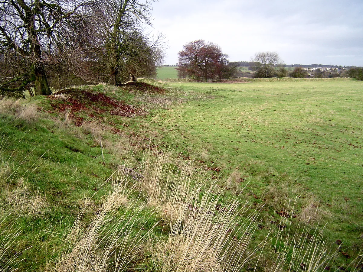
Newbottle is a civil parish and largely deserted village in West Northamptonshire, about 4 miles (6.4 km) west of the market town of Brackley. It is close to the Oxfordshire county boundary and about 4.5 miles (7.2 km) south-east of the town of Banbury. The village's name means 'new building'. A stream that is a tributary of the River Cherwell forms the parish boundary to the north-west. The remainder of the parish boundary mostly follows field boundaries. The parish includes the larger village of Charlton, about 0.5 miles (800 m) south-east of Newbottle. The 2001 census recorded a parish population of 438, mostly in Charlton, increasing to a joint population of 528 at the 2011 census.
Excerpt from Wikipedia under CC BY-SA 4.0. See the source article linked in Sources below.
Background
History
In 1086 Newbottle had a population of 32 households, including 15 slaves, although these figures probably included nearby Charlton and Purston. The Lay Subsidy rolls of 1301 list 23 taxpayers in Newbottle, with the richest individuals markedly more affluent than their counterparts in Charlton. Part of the land was enclosed shortly before 1500 and six houses taken down. By 1524 the settlement held only three taxpayers and sheep farming was widespread in the area by 1550, suggesting significant depopulation. The population later recovered, with around 40 families resident early in the 18th century and thirty-eight men aged between 18 and 45 in 1777, but the village was eventually abandoned…
Sourced from Wikipedia under CC BY-SA 4.0.
- Coordinates
- 52.0280, -1.2390
- District
- West Northamptonshire
- Parish
- Newbottle
- Postcode
- OX17
- Parliamentary constituency
- South Northamptonshire
- Population
- 438
- Nearest railway station
- King's Sutton — 3 km
- Official site
- www.charlton-cum-newbottle.co.uk
Sources
- wikidata: Q614616 (CC0)
- wikipedia: Newbottle, Northamptonshire (CC BY-SA 4.0)
- commons: St James Church, Newbottle - geograph.org.uk - 102296.jpg (CC BY-SA 4.0)
Other places nearby
Loading nearby places…
Nearby
.jpg?width=1200) 📷 3
📷 3Historic houses · West Midlands
Astrop House
Astrop House — country house in Northamptonshire, UK.
 📷 4
📷 4Hill forts · West Midlands
Rainsborough Camp
Rainsborough Camp — hillfort in Northamptonshire, England, UK.
 📷 4
📷 4Other places · West Midlands
King's Sutton
King's Sutton is a village and civil parish in West Northamptonshire, Northamptonshire, England, in the valley of the River Cherwell. It is sited about 4.1 miles (6.6 km) south-east of Banbury, Oxford
 📷 3
📷 3Memorials & monuments · West Midlands
King's Sutton War Memorial
King's Sutton War Memorial — Grade II listed building-listed memorial in england-west-midlands, United Kingdom.
.jpg?width=1200) 📷 3
📷 3Historic houses · West Midlands
Manor House
Manor House — historic building in Kings Sutton, Northamptonshire, England, United Kingdom.
 📷 3
📷 3Historic churches · West Midlands
Church of St Peter and St Paul, Kings Sutton
Church of St Peter and St Paul, Kings Sutton — Grade I listed church in Kings Sutton, Northamptonshire, England, UK.
More towns in this region
 Flagship📷 3
Towns & cities · West Midlands
Adderbury
Adderbury — village and civil parish in Cherwell district, Oxfordshire, England.
 Flagship📷 3
Towns & cities · West Midlands
Admington
Admington — village in Warwickshire, England, UK.
 Flagship📷 3
Towns & cities · West Midlands
Aldington
Aldington — village in Worcestershire, United Kingdom.
 Flagship📷 5
Towns & cities · West Midlands
Anstey
Anstey — large village in Leicestershire, England.
Frequently asked questions
- Where is Newbottle?
- Newbottle is in the West Midlands, United Kingdom (postcode OX17), in the parish of Newbottle.
- Is Newbottle free to visit?
- Yes, Newbottle is free to enter.
- How do I get to Newbottle?
- The nearest railway station is King's Sutton, about 3.0 km away. Drivers can navigate to postcode OX17.