Towns & cities · West Midlands
Aynho
Aynho — village and civil parish in Northamptonshire, England, UK.

Wikimedia Commons contributors — see linked file page for photographer and licence licence
Plan your visit
- Typical visit
- 3 h–6 h
- Nearest railway station
- King's Sutton · 3.2 km
- Free entry
- Family-friendly
- Dog-friendly
About
Aynho is a town, city, village or settlement in the United Kingdom. It covers approximately 10 km². Recent population estimates put it at around 634 people. Address: OX17. Wikidata describes it as: "village and civil parish in Northamptonshire, England, UK". Coordinates: 52.0000°, -1.2500°.
Photo gallery
From the Wikipedia article
Aynho (, formerly spelt Aynhoe) is a village and civil parish in West Northamptonshire, England, on the edge of the Cherwell valley 6 miles (9.7 km) south-east of the north Oxfordshire town of Banbury and 7 miles (11 km) southwest of Brackley. Along with its neighbour Croughton 2 miles (3.2 km) to the east, it is one of the two southernmost villages in Northamptonshire. It is the southernmost settlement in Northamptonshire and indeed the entire English East Midlands region.
Excerpt from Wikipedia under CC BY-SA 4.0. See the source article linked in Sources below.
Background
History
Aynho was founded in Anglo-Saxon times. The toponym is derived from Aienho, Old English for a spring, grove or hill. The circular village was surrounded by a defensive wall, parts of which can still be seen. In the 11th century Asgar, a Saxon thegn and standard bearer to Edward the Confessor owned the manor of Aynho. After the Norman conquest of England he was forced to cede the manor to Geoffrey de Mandeville, whose family retained it for several generations. Later the manor passed through the Clavering, Neville, Fitzalan, Shakerley, Tracy and Marmion families. Late in the 16th century Aynhoe Park was sold to Richard Cartwright (born 1563, a barrister and member of the Inner Temple, from a…
Sourced from Wikipedia under CC BY-SA 4.0.
- Coordinates
- 52.0000, -1.2500
- District
- West Northamptonshire
- Parish
- Aynho
- Postcode
- OX17
- Parliamentary constituency
- South Northamptonshire
- Population
- 634
- Nearest railway station
- King's Sutton — 3.2 km
- Official site
- www.neighbourhood.statistics.gov.uk
Sources
Other places nearby
Loading nearby places…
Nearby
Hotels · West Midlands
Cartwright Hotel
Cartwright Hotel — a hotel in england west midlands.
.jpg?width=1200) 📷 4
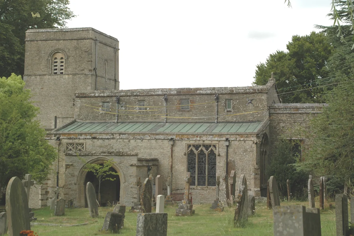
📷 4Historic churches · West Midlands
Church of St Michael, Aynho
Church of St Michael, Aynho — Grade I listed church in Aynho, Northamptonshire, England, UK.
 📷 3
📷 3Parks · West Midlands
Aynhoe Park
Aynhoe Park — a other in england-west-midlands, United Kingdom.
 📷 4
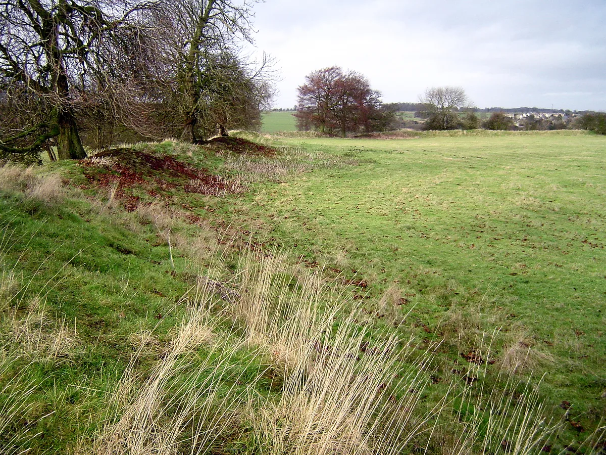
📷 4Hill forts · West Midlands
Rainsborough Camp
Rainsborough Camp — hillfort in Northamptonshire, England, UK.
 📷 3
📷 3Historic bridges · West Midlands
Anyho Weir Bridge Number 188, At Sp 494337 Oxford Canal
Anyho Weir Bridge Number 188, At Sp 494337 Oxford Canal — Grade II listed building-listed bridge in england-west-midlands, United Kingdom.
 📷 3
📷 3Historic churches · West Midlands
Church of the Annunciation to the Blessed Virgin Mary
Church of the Annunciation to the Blessed Virgin Mary — parish church of Souldern in Oxfordshire, England, UK.
More towns in this region
 Flagship📷 3
Towns & cities · West Midlands
Adderbury
Adderbury — village and civil parish in Cherwell district, Oxfordshire, England.
 Flagship📷 3
Towns & cities · West Midlands
Admington
Admington — village in Warwickshire, England, UK.
 Flagship📷 3
Towns & cities · West Midlands
Aldington
Aldington — village in Worcestershire, United Kingdom.
 Flagship📷 5
Towns & cities · West Midlands
Anstey
Anstey — large village in Leicestershire, England.
Frequently asked questions
- Where is Aynho?
- Aynho is in the West Midlands, United Kingdom (postcode OX17), in the parish of Aynho.
- Is Aynho free to visit?
- Yes, Aynho is free to enter.
- How do I get to Aynho?
- The nearest railway station is King's Sutton, about 3.2 km away. Drivers can navigate to postcode OX17.