Museums · Yorkshire & the Humber
Netherton, Wakefield
Netherton is a village in the City of Wakefield metropolitan borough of West Yorkshire, England. It lies about 4 miles south-west of Wakefield, 3 miles south of Ossett and 1 mile south of Horbury. Th

Ian S — CC BY-SA 2.0 via Wikimedia Commons licence
Plan your visit
- Typical visit
- 1.5 h–3 h
- Best time of year
- Year-round
- Family-friendly
- Limited wheelchair access
About
Netherton is a village in the City of Wakefield metropolitan borough of West Yorkshire, England. It lies about 4 miles south-west of Wakefield, 3 miles south of Ossett and 1 mile south of Horbury. The village is in the Wakefield Rural ward of Wakefield Metropolitan District Council. The village name is shown on map "Dvcatvs Eboracensis pars occidentalis" from 1646. The h was dropped from nearby Shitlington and Sitlington was adopted in 1929 with the approval of the county council.
Photo gallery
From the Wikipedia article
Netherton is a village in the City of Wakefield metropolitan borough of West Yorkshire, England. It lies about 4 miles south-west of Wakefield, 3 miles south of Ossett and 1 mile south of Horbury. The village is in the Wakefield Rural ward of Wakefield Metropolitan District Council. The village name is shown on map "Dvcatvs Eboracensis pars occidentalis" from 1646. The h was dropped from nearby Shitlington and Sitlington was adopted in 1929 with the approval of the county council.
Excerpt from Wikipedia under CC BY-SA 4.0. See the source article linked in Sources below.
Background
History
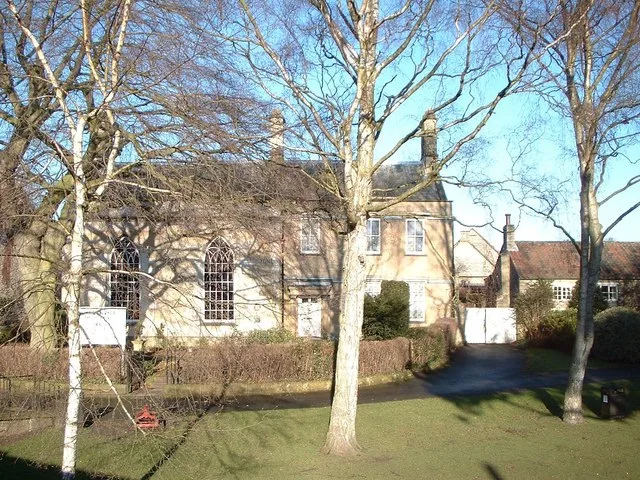
Netherton, originally Nether Shitlington was, with Over Shitlington (Overton) and Middle Shitlington (Middlestown), part of the township of Shitlington in the ancient ecclesiastical parish of Thornhill in the wapentake of Agbrigg and Morley in the West Riding of Yorkshire. A Mesolithic axe was found near the Star Inn in 1963. Shitlington was probably settled in Anglo-Saxon times and was recorded in the Domesday Book as Schellingtone. Netherton Hall, a Grade II* listed manor house, was built around 1775 for the Perkins family. St Andrew's Church was built in 1881 to the design of J. D. Sedding.
Sourced from Wikipedia under CC BY-SA 4.0.
- Coordinates
- 53.6440, -1.5790
- District
- Wakefield
- Parish
- Sitlington
- Postcode
- WF4 4SL
- Parliamentary constituency
- Ossett and Denby Dale
Sources
- wikipedia: Netherton, Wakefield (CC BY-SA 4.0)
Other places nearby
Loading nearby places…
Nearby
 📷 3
📷 3Historic bridges · Yorkshire & the Humber
Horbury Viaduct
Horbury Viaduct is a historic bridge in the United Kingdom.
 📷 3
📷 3Archaeological sites · Yorkshire & the Humber
Site of Denby Grange Mine
Site of Denby Grange Mine — a archaeological in england-yorkshire, United Kingdom.
 📷 5
📷 5Memorials & monuments · Yorkshire & the Humber
War Memorial
War Memorial is a memorial in the United Kingdom.
 📷 3
📷 3Archaeological sites · Yorkshire & the Humber
Horbury Quarry
Horbury Quarry — a archaeological in england-yorkshire, United Kingdom.
 📷 5
📷 5Other places · Yorkshire & the Humber
Overton, West Yorkshire
Overton, West Yorkshire — a other in england-yorkshire, United Kingdom.
 📷 5
📷 5Cemeteries · Yorkshire & the Humber
Middlestown Cemetery
Middlestown Cemetery is a cemetery in the United Kingdom.
More museums in this region
 📷 3
📷 3Museums · Yorkshire & the Humber
Aldborough Roman Town
Aldborough Roman Town — Heritage Museum in Yorkshire, England, UK.
 📷 3
📷 3Museums · Yorkshire & the Humber
Bayle Museum
Bayle Museum — Local museum in Bridlington, England.
Museums · Yorkshire & the Humber
BD1 Gallery
BD1 Gallery — closed gallery in Bradford, West Yorkshire.
 📷 5
📷 5Museums · Yorkshire & the Humber
Beck Isle Museum
Beck Isle Museum — museum in Pickering, North Yorkshire, England, United Kingdom.
Frequently asked questions
- Where is Netherton, Wakefield?
- Netherton, Wakefield is in Yorkshire & the Humber, in the United Kingdom — coordinates 53.6440°, -1.5790°.
- Is Netherton, Wakefield wheelchair accessible?
- Partially — OpenStreetMap notes limited wheelchair access at Netherton, Wakefield. Check ahead for specific facilities.