Mountains & hills · North East England
Nethermost Pike
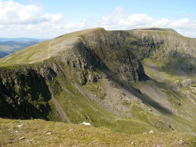
Nethermost Pike — Named summit at 891.3 m.

Wikimedia Commons contributors — see linked file page for photographer and licence licence
Plan your visit
- Typical visit
- 3 h–8 h
- Best time of year
- Late spring – early autumn (May–Oct)
- Free entry
- Dog-friendly
About
Nethermost Pike is a named summit in the United Kingdom. Wikidata describes it as: "Named summit at 891.3 m.". Coordinates: 54.5190°, -3.0154°.
Photo gallery
Protected designations
- Site of Special Scientific Interest: River Derwent and Tributaries SSSI
- Site of Special Scientific Interest: Helvellyn & Fairfield SSSI
- Site of Special Scientific Interest: River Eden and Tributaries SSSI
Designations sourced from Natural England open data under OGL v3.
From the Wikipedia article
Nethermost Pike is a fell in Cumbria, England, and a part of the Lake District. At 891 metres (2,923 ft) it is the second highest Wainwright in the Helvellyn range, the highest of which is Helvellyn itself. It is located close to the southern end of the ridge, with Helvellyn to the north, and High Crag and Dollywaggon Pike to the south. Nethermost Pike, along with many of the Eastern Fells, lies between Thirlmere in the west and the Ullswater catchment in the east. The closest villages are Glenridding and Patterdale on the shores of Ullswater, over 8 kilometres (5 mi) away. Like most fells in the Helvellyn range, Nethermost Pike has grassy western slopes and rocky outcrops on the eastern side. Geologically, Nethermost Pike belongs to the Borrowdale Volcanic Group. Lead was once mined on its eastern slopes, resulting in open workings and underground mines. The eastern slopes are protected as part of a Site of Special Scientific Interest because of the Pike's geological and biological features, which include some of England's best arctic-alpine and tall-herb vegetation.
Excerpt from Wikipedia under CC BY-SA 4.0. See the source article linked in Sources below.
- Coordinates
- 54.5190, -3.0154
- Address
- Cumbria, England
Sources
- osm: n4433317094 (ODbL)
- wikipedia: Nethermost Pike (CC BY-SA 4.0)
- commons: Nethermost Pike.jpg (CC BY-SA 4.0)
Other places nearby
Loading nearby places…
Nearby
 📷 4
📷 4Mountains & hills · North East England
High Crag
High Crag — Named summit at 884 m.
 📷 4
📷 4Natural landmarks · North East England
High Crag
High Crag — mountain in the Helvellyn Range, in Cumbria, England, UK.
 📷 3
📷 3Memorials & monuments · North East England
Avro 585 Gosport Plane Landing plaque
Avro 585 Gosport Plane Landing plaque — a memorial in england-north-east, United Kingdom.
 📷 3
📷 3Mountains & hills · North East England
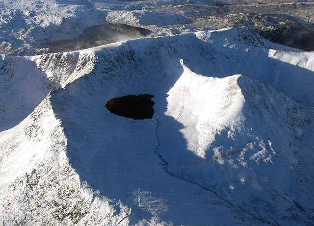
Helvellyn
Helvellyn — Named summit at 949.8 m.
 📷 3
📷 3Natural landmarks · North East England
Helvellyn
Helvellyn — mountain in the English Lake District.
 📷 3
📷 3Natural landmarks · North East England
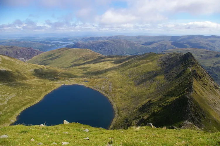
Red Tarn
Red Tarn — lake on Helvellyn, Cumbria, United Kingdom.
More mountains in this region
 📷 3
📷 3Mountains & hills · North East England
Angletarn Pikes
Angletarn Pikes — Named summit at 566 m.
 📷 3
📷 3Mountains & hills · North East England
Angletarn Pikes South Top
Angletarn Pikes South Top — Named summit at 563.6 m.
 📷 3
📷 3Mountains & hills · North East England
Ard Crags
Ard Crags — Named summit at 581 m.
 📷 3
📷 3Mountains & hills · North East England
Arnison Crag
Arnison Crag — Named summit at 433 m.
Frequently asked questions
- Where is Nethermost Pike?
- Nethermost Pike is in North-East England, United Kingdom.
- Is Nethermost Pike a protected site?
- Yes — Nethermost Pike is part of the River Derwent and Tributaries SSSI Site of Special Scientific Interest and the Helvellyn & Fairfield SSSI Site of Special Scientific Interest.
- Is Nethermost Pike free to visit?
- Yes, Nethermost Pike is free to enter.