Mountains & hills · North Wales
Mynydd Y Gaer
Mynydd Y Gaer — Named summit at 275 m.

Wikimedia Commons contributors — see linked file page for photographer and licence licence
Plan your visit
- Typical visit
- 3 h–8 h
- Best time of year
- Late spring – early autumn (May–Oct)
- Nearest railway station
- Abergele and Pensarn · 7.4 km
- Free entry
- Dog-friendly
About
Mynydd Y Gaer is a named summit in the United Kingdom. Wikidata describes it as: "Named summit at 275 m.". Coordinates: 53.2331°, -3.5402°.
Photo gallery
From the Wikipedia article
Mynydd y Gaer is a 295-metre-high hill in Bridgend County Borough in South Wales. The summit is crowned by a trig point. It is reputed to be the site of Caradoc's fortress who in the first century AD resisted the Roman invasion of the Silures territories around 48-50 AD. There is a Caer Caradoc tumulus at the eastern end of the mynydd which is still displayed on the OS maps that is, according to local legend, the burial place of Caradoc. It is claimed the burial mounds of Meurig and Athwr II who resisted the Saxons in the 6th century are nearby.
Excerpt from Wikipedia under CC BY-SA 4.0. See the source article linked in Sources below.
Background
Visiting
The upper parts of the hill are mapped as open access under the Countryside and Rights of Way Act 2000 and so open to public access on foot. A public footpath and a byway climb the southwest and southeast slopes of the hill respectively from a car park at the end of a minor road from the nearby village of Heol-y-Cyw. Both rights of way are followed by the Ogwr Ridgeway Walk. Two further public footpaths climb the hill’s northern slopes from the direction of Glynogwr.
Sourced from Wikipedia under CC BY-SA 4.0.
- Coordinates
- 53.2331, -3.5402
- District
- Conwy
- Parish
- Llannefydd
- Postcode
- LL16 5EF
- Parliamentary constituency
- Bangor Aberconwy
- Nearest railway station
- Abergele and Pensarn — 7.4 km
Sources
- osm: n3017175054 (ODbL)
- wikipedia: Mynydd y Gaer (CC BY-SA 4.0)
- commons: Byway leading towards Mynydd y Gaer - geograph.org.uk - 2665449.jpg (CC BY-SA 4.0)
Other places nearby
Loading nearby places…
Nearby
Vineyards · North Wales
Mynydd y Gaer
Mynydd y Gaer — a UK vineyard in wales north, producing English or Welsh wine from cool-climate grape varieties.
 📷 3
📷 3Hill forts · North Wales
Mynydd y Gaer Hillfort
Mynydd y Gaer Hillfort — a hill fort in wales-north, United Kingdom.
Caravan parks · North Wales
Caeran Caravan Park
Caeran Caravan Park — a caravan park in wales north.
 📷 5
📷 5Historic bridges · North Wales
Pont Meredydd
Pont Meredydd — Grade II listed building-listed bridge in wales-north, United Kingdom.
Reservoirs & lochs · North Wales
Dolwen Reservoir
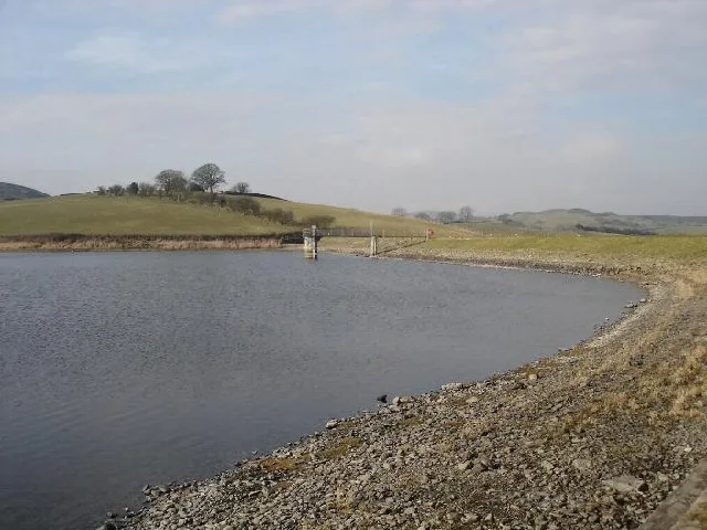
Dolwen Reservoir — reservoir in Conwy County Borough, Wales, UK.
 📷 5
📷 5Historic churches · North Wales
Church of St Nefydd and St Mary
Church of St Nefydd and St Mary — Grade I listed building-listed church in wales-north, United Kingdom.
More mountains in this region
 📷 5
📷 5Mountains & hills · North Wales
Cemlyn Bay and lagoon
Cemlyn Bay and lagoon — Site of Special Scientific Interest in Wales.
 📷 3
📷 3Mountains & hills · North Wales
Aberffraw Bay
Aberffraw Bay — bay on the west coast of Anglesey, in Wales, UK.
 📷 3
📷 3Mountains & hills · North Wales
Allt-fawr
Allt-fawr — Named summit at 698 m.
 📷 3
📷 3Mountains & hills · North Wales
Aran Benllyn
Aran Benllyn — Named summit at 884 m.
Frequently asked questions
- Where is Mynydd Y Gaer?
- Mynydd Y Gaer is in North Wales, United Kingdom (postcode LL16 5EF), in the parish of Llannefydd.
- Is Mynydd Y Gaer free to visit?
- Yes, Mynydd Y Gaer is free to enter.
- How do I get to Mynydd Y Gaer?
- The nearest railway station is Abergele and Pensarn, about 7.4 km away. Drivers can navigate to postcode LL16 5EF.