Mountains & hills · South Wales
Mynydd Troed
Mynydd Troed — Named summit at 609 m.

Wikimedia Commons contributors — see linked file page for photographer and licence licence
Plan your visit
- Typical visit
- 3 h–8 h
- Best time of year
- Late spring – early autumn (May–Oct)
- Free entry
- Dog-friendly
About
Mynydd Troed is a named summit in the United Kingdom. Wikidata describes it as: "Named summit at 609 m.". Coordinates: 51.9553°, -3.2155°.
Photo gallery
From the Wikipedia article
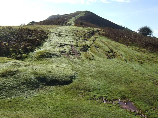
Mynydd Troed is a hill in the Black Mountains of the Brecon Beacons National Park in Powys, south Wales. Its name literally translates to "Foot Mountain," based how it appears when viewed from the Allt Mawr ridge. It lies 3 miles (4.8 km) south of Talgarth and 2 miles (3.2 km) northeast of the village of Llangors on the western side of the range. Its summit at the northern end of a northwest to southeast aligned ridge reaches 609 metres (1,998 ft) above sea level and is crowned by a trig point.
Excerpt from Wikipedia under CC BY-SA 4.0. See the source article linked in Sources below.
Background
Visiting
Other than its lower slopes, the hill is designated as open country and therefore freely accessible to walkers. The most popular routes of ascent are from Pengenffordd on the A479 to the northeast and from the col over which the minor road up Cwm Sorgwm goes towards Llangors. A bridleway and a restricted byway run around the foot of the hill to the north and west. The hill is the 3,658th highest peak in the British Isles and the 220th tallest in Wales.
Sourced from Wikipedia under CC BY-SA 4.0.
- Coordinates
- 51.9553, -3.2155
- District
- Powys
- Parish
- Talgarth
- Postcode
- LD3 0EY
- Parliamentary constituency
- Brecon, Radnor and Cwm Tawe
Sources
- osm: n3278659568 (ODbL)
- wikipedia: Mynydd Troed (CC BY-SA 4.0)
- commons: Mynydd Troed in snow - geograph.org.uk - 1701200.jpg (CC BY-SA 4.0)
Other places nearby
Loading nearby places…
Nearby
 📷 3
📷 3Historic pubs · Mid Wales
Pengenffordd
Pengenffordd in Wales Mid, United Kingdom.
 📷 5
📷 5Mountains & hills · South Wales
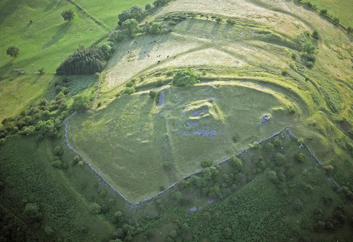
Castell Dinas
Castell Dinas — Named summit at 450 m.
Vineyards · South Wales
Mynydd Llangorse
Mynydd Llangorse — a UK vineyard in wales south, producing English or Welsh wine from cool-climate grape varieties.
 📷 5
📷 5Castles · South Wales
Castell Dinas
Castell Dinas is a castle in the United Kingdom.
 📷 3
📷 3Mountains & hills · South Wales
Pen y Grib
Pen y Grib — a mountain in wales-south, United Kingdom, 493 m.
 📷 3
📷 3Mountains & hills · South Wales
Mynydd Llangorse
Mynydd Llangorse — Named summit at 515 m.
More mountains in this region
 Flagship📷 3
Mountains & hills · South Wales
Milford Haven Waterway
Milford Haven Waterway — ria, or flooded valley, in Pembrokeshire, south-west Wales, UK.
 📷 5
📷 5Mountains & hills · South Wales
Ogof Ffynnon Ddu
Ogof Ffynnon Ddu — cave in the Upper Swansea Valley in South Wales.
 📷 3
📷 3Mountains & hills · South Wales
Abereiddi Bay
Abereiddi Bay — bay in the United Kingdom.
 📷 3
📷 3Mountains & hills · South Wales
Allt Lwyd
Allt Lwyd — Named summit at 653 m.
Frequently asked questions
- Where is Mynydd Troed?
- Mynydd Troed is in South Wales, United Kingdom (postcode LD3 0EY), in the parish of Talgarth.
- Is Mynydd Troed free to visit?
- Yes, Mynydd Troed is free to enter.
- How do I get to Mynydd Troed?
- Drivers can navigate to postcode LD3 0EY. It sits within the Brecon, Radnor and Cwm Tawe parliamentary constituency.