Hill forts · Northern Ireland
Mount Sandel Mesolithic site
Mount Sandel Mesolithic site — excavated mesolithic huts in Coleraine, County Londonderry, Northern Ireland.
.JPG?width=1200)
Wikimedia Commons licence
Plan your visit
- Typical visit
- 1 h–2 h
- Nearest railway station
- Coleraine · 2.0 km
- Free entry
- Dog-friendly
About
Mount Sandel Mesolithic site is a hill fort in the United Kingdom. Wikidata describes it as: "excavated mesolithic huts in Coleraine, County Londonderry, Northern Ireland". Coordinates: 55.1161°, -6.6642°.
Photo gallery
From the Wikipedia article
The Mount Sandel Mesolithic site is in Coleraine, County Londonderry, Northern Ireland, near the River Bann and just to the east of the Iron Age Mount Sandel Fort. It is one of the oldest archaeological sites in Ireland with carbon dating indicating an age of 9,000 years old (7,000BC). Gwendoline Cave in County Clare is the only site in Ireland with evidence of human occupation that pre-dates this location. Mount Sandel Mesolithic site is a Scheduled Historic Monument in the townland of Mount Sandel, in Causeway Coast and Glens Council area, at Grid Ref: C8533 3076. It was excavated by Peter Woodman in the 1970s. It has been said that "The Mt. Sandel excavations dominate the picture of the Early Mesolithic (in Ireland) as so few other sites have been excavated and fully published, let alone found. Not only that, but there was evidence for dwellings – until recently it was not until the Neolithic that there was again evidence for houses in Ireland." These excavations revealed the remains of no fewer than ten structures, although these were not all contemporaneous, and a large number of pits, post-holes and hearths. When the structures could be made out most of them were apparently roughly oval in plan and measured approximately 6 metres (20 ft) in width. They had been built over shallow man-made depressions and were defined by stout post-holes. Many of the post holes were inclined towards the centre of the building which suggests that they were for holding saplings that were bent inwards after being driven into the ground to make a tent or tepee like structure. It is assumed that this framework was then covered in hide, reed, or some other organic material. Within the huts, a hearth was positioned in the centre. It is thought that this site was most likely home to a small extended family group that occupied this site for most of the year. They were hunter-gatherers catching the migrating salmon during the summer, gathering hazelnuts in the autumn and hunting wild…
Excerpt from Wikipedia under CC BY-SA 4.0. See the source article linked in Sources below.
- Coordinates
- 55.1161, -6.6642
- District
- Causeway Coast and Glens
- Postcode
- BT52 1NN
- Parliamentary constituency
- East Londonderry
- Nearest railway station
- Coleraine — 2 km
Sources
- wikidata: Q1950705 (CC0)
- wikipedia: Mount Sandel Mesolithic site (CC BY-SA 4.0)
Other places nearby
Loading nearby places…
Nearby
 📷 3
📷 3Forts · Northern Ireland
Mount Sandel Fort
Mount Sandel Fort in Northern Ireland, United Kingdom.
📷 3Public art & sculpture · Northern Ireland
Source
Source — a public art in northern-ireland, United Kingdom.
 📷 4
📷 4Natural landmarks · Northern Ireland
Somerset
Somerset in Northern Ireland, United Kingdom.
 📷 3
📷 3Natural landmarks · Northern Ireland
Lodge Road
Lodge Road in Northern Ireland, United Kingdom.
 📷 3
📷 3Theatres · Northern Ireland
Movie House Coleraine
Movie House Coleraine in Northern Ireland, United Kingdom.
Cinemas · Northern Ireland
Moviehouse
Moviehouse — a cinema in northern ireland.
More places in this region
 📷 3
📷 3Hill forts · Northern Ireland
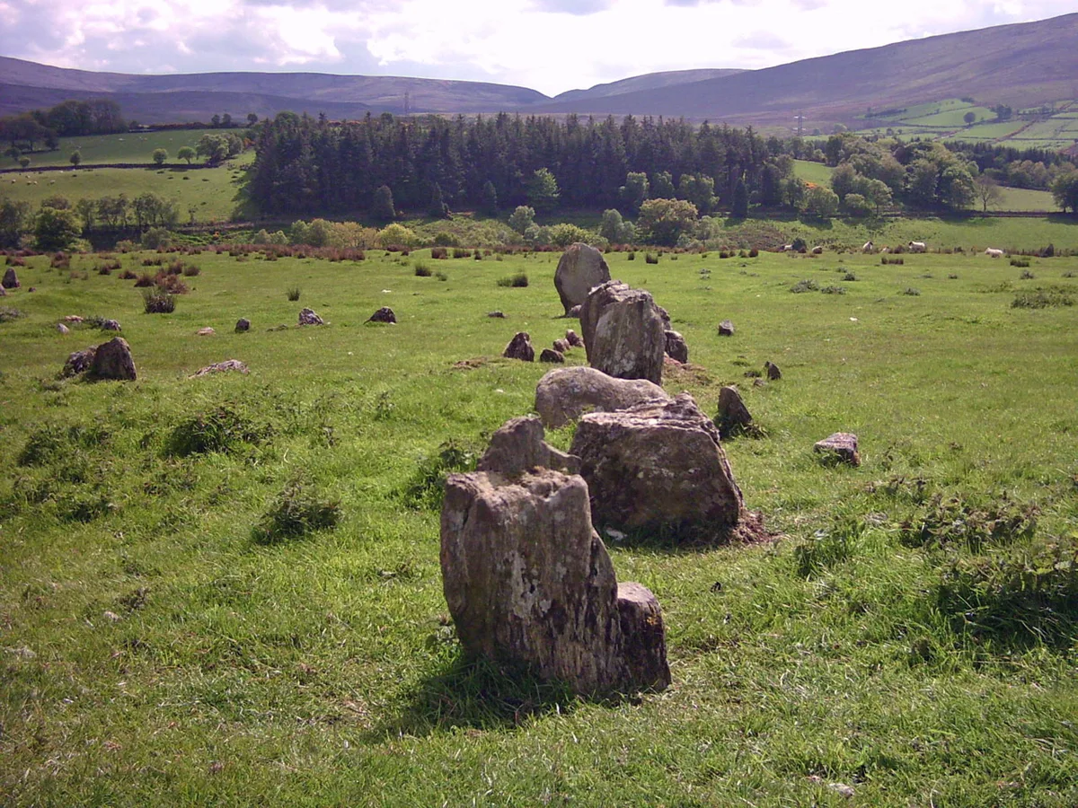
Aughlish
Aughlish — archaeological site in County Londonderry, Northern Ireland, England, UK.
 📷 3
📷 3Hill forts · Northern Ireland
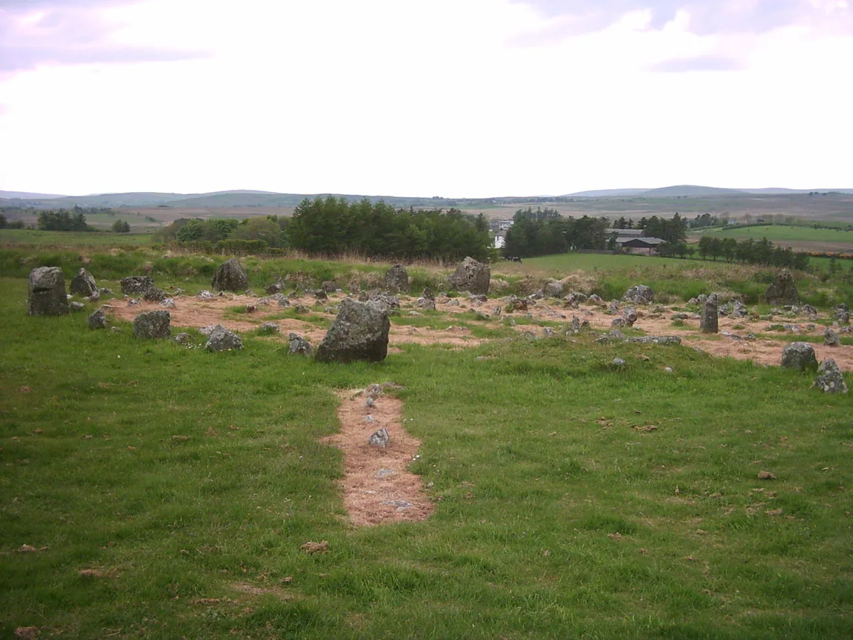
Beaghmore
Beaghmore — complex of early Bronze Age megalithic features in Northern Ireland.
 📷 3
📷 3Hill forts · Northern Ireland
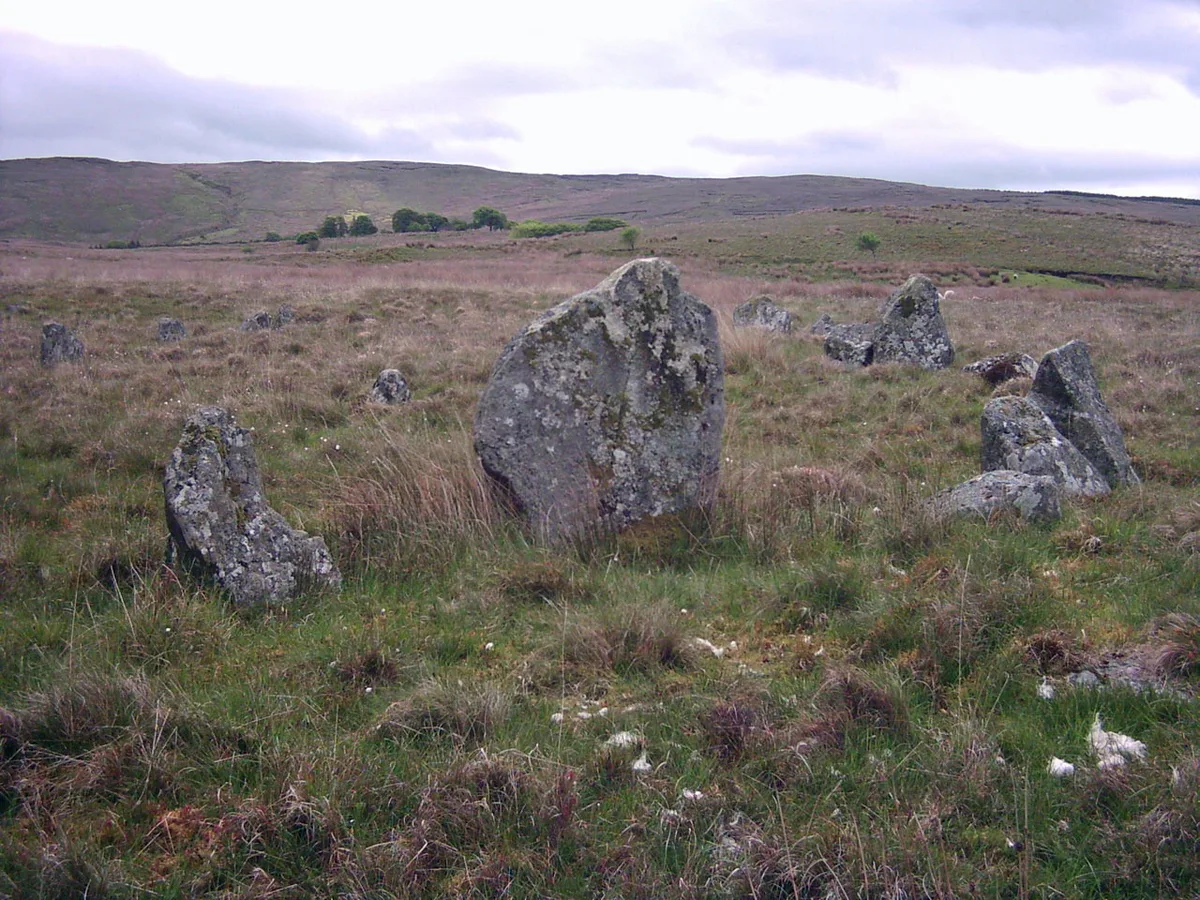
Corick
Corick — archaeological site in United Kingdom.
 📷 3
📷 3Hill forts · Northern Ireland
Craig Hill
Craig Hill is a hill fort in the United Kingdom.
Frequently asked questions
- Where is Mount Sandel Mesolithic site?
- Mount Sandel Mesolithic site is in Northern Ireland, United Kingdom (postcode BT52 1NN).
- Is Mount Sandel Mesolithic site free to visit?
- Yes, Mount Sandel Mesolithic site is free to enter.
- How do I get to Mount Sandel Mesolithic site?
- The nearest railway station is Coleraine, about 2.0 km away. Drivers can navigate to postcode BT52 1NN.