Country parks · South West England
Monks Park
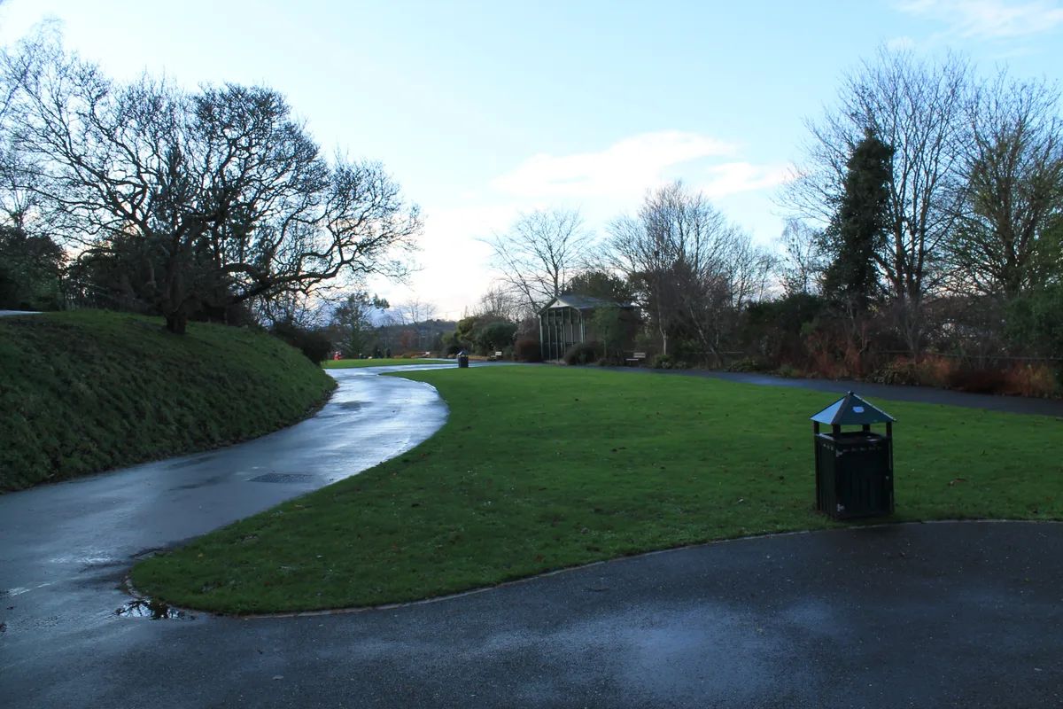
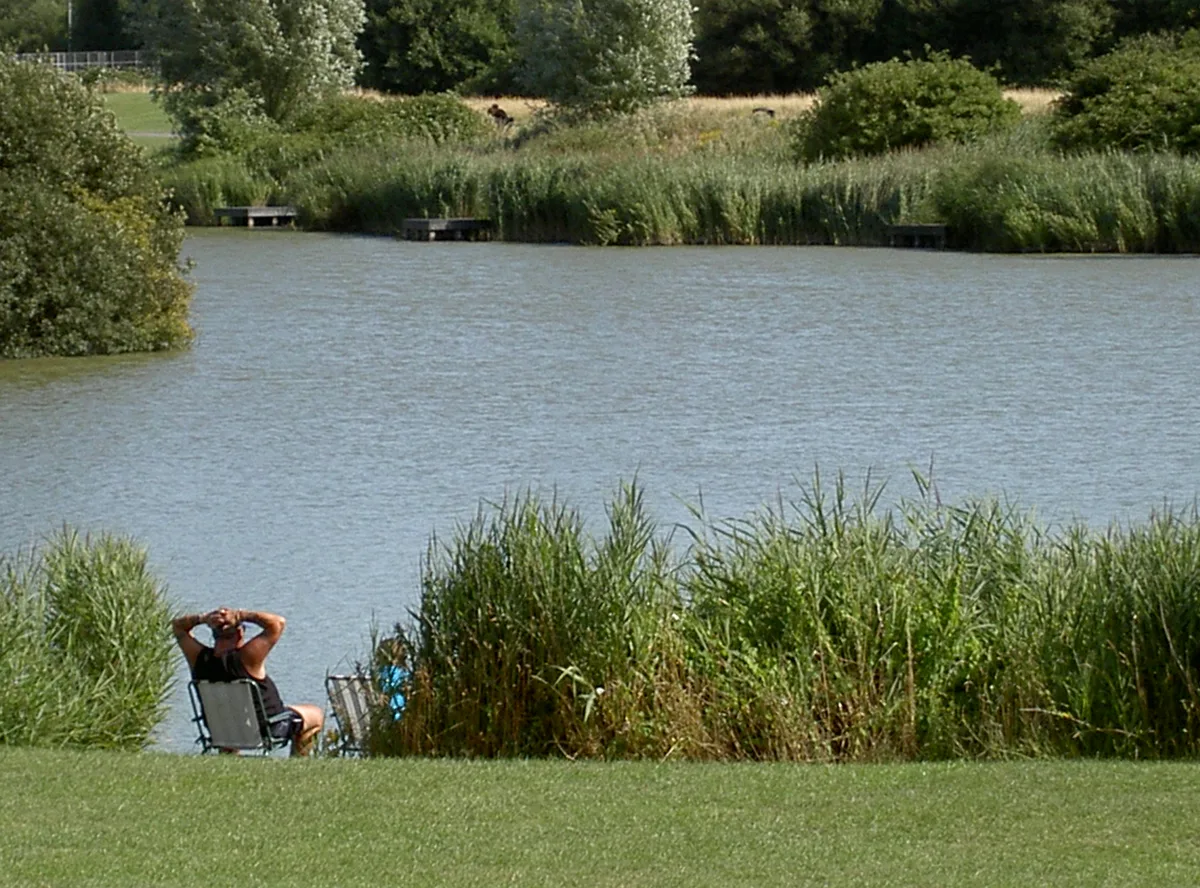
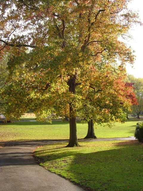
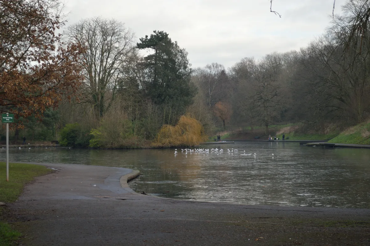
Monks Park — Suburb of Bristol, England.

Wikimedia Commons licence
Plan your visit
- Typical visit
- 1.5 h–3 h
- Nearest railway station
- Filton Abbey Wood · 1.5 km
- Free entry
- Family-friendly
- Dog-friendly
About
Monks Park is a country park in the United Kingdom. Wikidata describes it as: "Suburb of Bristol, England". Coordinates: 51.4998°, -2.5852°.
Photo gallery
Protected designations
- Site of Special Scientific Interest: Severn Estuary SSSI
Designations sourced from Natural England open data under OGL v3.
From the Wikipedia article
Monks Park is a northern suburb of the city of Bristol, England, and is the highest point within the city. Monks Park stretches westward, towards Southmead, from the A38 trunk road. Filton Park lies directly north, on the South Gloucestershire side of the city boundary. Horfield lies to the east of the A38 and also to the south. Monks Park takes its name from James Henry Monk, a nineteenth-century bishop of Gloucester and Bristol. The first development in Monks Park took place in the 1930s. Housing is mainly privately owned and semi-detached. Southmead Hospital, Bristol's largest hospital, occupies the south west corner of the suburb. There are two primary schools (Upper Horfield and St Teresa's RC) and Orchard School Bristol, formerly known as Monks Park School prior to 2009.
Excerpt from Wikipedia under CC BY-SA 4.0. See the source article linked in Sources below.
- Coordinates
- 51.4998, -2.5852
- District
- Bristol, City of
- Parish
- Bristol, City of, unparished area
- Postcode
- BS7 0UU
- Parliamentary constituency
- Bristol North West
- Nearest railway station
- Filton Abbey Wood — 1.5 km
Sources
- wikidata: Q6900947 (CC0)
- wikipedia: Monks Park (CC BY-SA 4.0)
Other places nearby
Loading nearby places…
Nearby
 📷 3
📷 3Public art & sculpture · South West England
Wounded Lion
Wounded Lion — a public art in england-south-west, United Kingdom.
 📷 3
📷 3Public art & sculpture · South West England
trunk touble
trunk touble — a public art in england-south-west, United Kingdom.
 📷 3
📷 3Public art & sculpture · South West England
bad back bear
bad back bear — a public art in england-south-west, United Kingdom.
 📷 5
📷 5Historic churches · South West England
Shahporan
Shahporan — a church in england-south-west, United Kingdom.
 📷 3
📷 3Public art & sculpture · South West England
Spirit of Flight
Spirit of Flight — a public art in england-south-west, United Kingdom.
 📷 5
📷 5Historic churches · South West England
Horfield
Horfield is a suburb of the city of Bristol, in southwest England. It lies on Bristol's northern edge, its border with Filton marking part of the boundary between Bristol and South Gloucestershire. Bi
More places in this region
 Flagship📷 10
Country parks · South West England
Northernhay Gardens
Northernhay Gardens — public park in Exeter, Devon, England, UK.
 📷 5
📷 5Country parks · South West England
Apex Leisure and Wildlife Park
Apex Leisure and Wildlife Park — park and wildlife centre in England, United Kingdom.
 📷 5
📷 5Country parks · South West England
Belmont Park
Belmont Park — park in Exeter, Devon, England, UK.
 📷 5
📷 5Country parks · South West England
Eastville Park
Eastville Park — Park in Bristol, England.
Frequently asked questions
- Where is Monks Park?
- Monks Park is in South-West England, United Kingdom (postcode BS7 0UU), in the parish of Bristol, City of, unparished area.
- Is Monks Park a protected site?
- Yes — Monks Park is part of the Severn Estuary SSSI Site of Special Scientific Interest.
- Is Monks Park free to visit?
- Yes, Monks Park is free to enter.
- How do I get to Monks Park?
- The nearest railway station is Filton Abbey Wood, about 1.5 km away. Drivers can navigate to postcode BS7 0UU.