Historic bridges · Central Scotland
Milngavie Road
Milngavie Road is a historic bridge in the United Kingdom.

Richard Sutcliffe — CC BY-SA 2.0 via Wikimedia Commons licence
Plan your visit
- Typical visit
- 15 min–30 min
- Nearest railway station
- Hillfoot · 0.1 km
- Free entry
- Dog-friendly
About
Milngavie Road is a named historic bridge in the United Kingdom. Coordinates: 55.9199°, -4.3211°. This entry is part of The Great Britain Guide, a free, ad-free, open-data tourist directory.
Photo gallery
From the Wikipedia article
Milngavie railway station serves the town of Milngavie, East Dunbartonshire, near Glasgow in Scotland. The station is sited 9 miles 35 chains (15.2 km) from Glasgow Queen Street, measured via Maryhill. The station is managed by ScotRail, who also operate all services at the station, along the North Clyde and Argyle lines. Its principal purpose today is as a commuter station for people working in Glasgow city centre. The station itself is a category B listed building.
Excerpt from Wikipedia under CC BY-SA 4.0. See the source article linked in Sources below.
Background
History
The station was opened in April 1863, and was then part of the Glasgow and Milngavie Junction Railway. Originally built with three platforms, one platform has since been removed. The land where the third platform once stood is now used as a footpath and car park. The line was doubled in 1900, but was singled again in 1990. In December 2020, the platforms were extended at a cost of £5 million. The platform extension allows multiple trains to be stabled at the station, increasing the time available between arrivals and departures.
Sourced from Wikipedia under CC BY-SA 4.0.
- Coordinates
- 55.9199, -4.3211
- District
- East Dunbartonshire
- Postcode
- G61 2AA
- Parliamentary constituency
- Mid Dunbartonshire
- Nearest railway station
- Hillfoot — 0.1 km
Sources
- osm: w6065935 (ODbL)
- wikipedia: Milngavie railway station (CC BY-SA 4.0)
Other places nearby
Loading nearby places…
Nearby
 📷 3
📷 3Historic bridges · Central Scotland
Roman Road
Roman Road is a historic bridge in the United Kingdom.
 📷 3
📷 3Cemeteries · Central Scotland
New Kilpatrick Cemetery
New Kilpatrick Cemetery is a cemetery in the United Kingdom.
 📷 3
📷 3Historic churches · Central Scotland
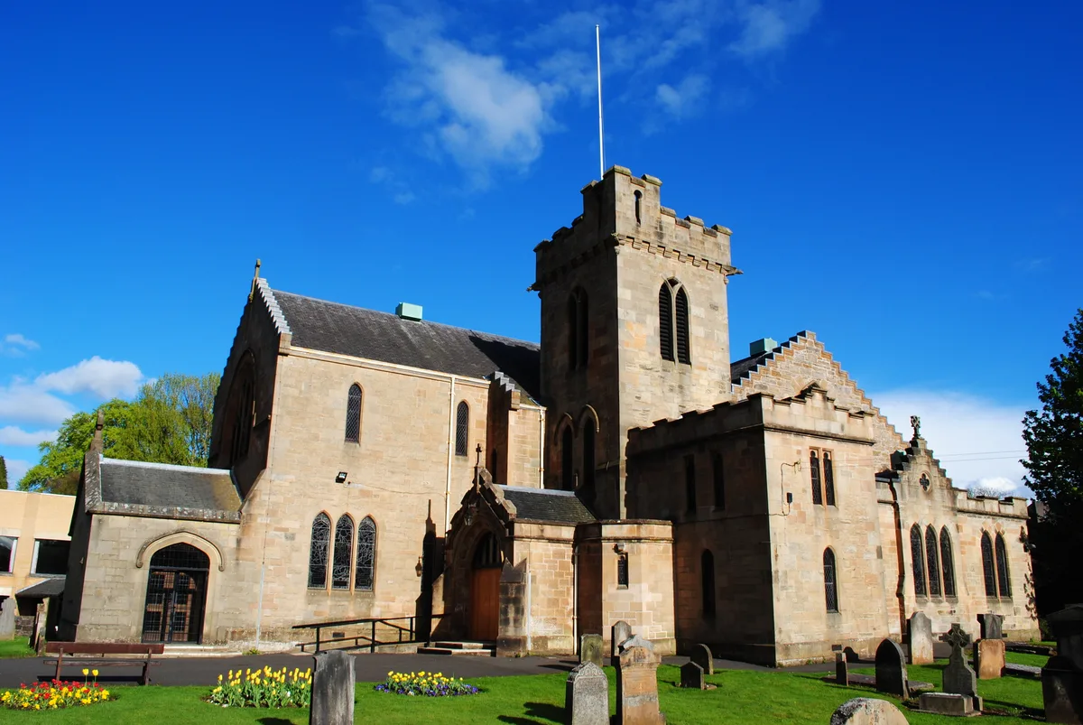
New Kilpatrick Church
New Kilpatrick Church — church in East Dunbartonshire, Scotland.
 📷 5
📷 5Memorials & monuments · Central Scotland
War Memorial, Roman Road, Bearsden
War Memorial, Roman Road, Bearsden — category B listed building-listed memorial in scotland-central, United Kingdom.
 📷 5
📷 5Historic churches · Central Scotland
United Free Church, Drymen Road, Bearsden
United Free Church, Drymen Road, Bearsden — category B listed building-listed church in scotland-central, United Kingdom.
 📷 3
📷 3Galleries · Central Scotland
The Lemond Gallery
The Lemond Gallery — a gallery in scotland-central, United Kingdom.
More bridges in this region
 📷 3
📷 3Historic bridges · Central Scotland
2nd Dalmarnock Railway Bridge
2nd Dalmarnock Railway Bridge is a historic bridge in the United Kingdom.
 📷 4
📷 4Historic bridges · Central Scotland
Abbey Road
Abbey Road is a historic bridge in the United Kingdom.
 📷 4
📷 4Historic bridges · Central Scotland
Albert Bridge
Albert Bridge is a historic bridge in the United Kingdom.
 📷 3
📷 3Historic bridges · Central Scotland
Allan Water Viaduct
Allan Water Viaduct is a historic bridge in the United Kingdom.
Frequently asked questions
- Where is Milngavie Road?
- Milngavie Road is in central Scotland, United Kingdom (postcode G61 2AA).
- Who owns Milngavie Road?
- Milngavie Road is owned by ScotRail.
- Is Milngavie Road free to visit?
- Yes, Milngavie Road is free to enter.
- How do I get to Milngavie Road?
- The nearest railway station is Hillfoot, about 0.1 km away. Drivers can navigate to postcode G61 2AA.