Castles · West Midlands
Metropolitan Borough of Stockport
The Metropolitan Borough of Stockport is a metropolitan borough of Greater Manchester in England. It is south-east of central Manchester and south of Tameside. As well as the towns of Stockport, Bredb

John S Turner — CC BY-SA 2.0 via Wikimedia Commons licence
_-_geograph.org.uk_-_5728785.jpg)
Plan your visit
- Typical visit
- 1.5 h–3 h
- Family-friendly
- Limited wheelchair access
About
The Metropolitan Borough of Stockport is a metropolitan borough of Greater Manchester in England. It is south-east of central Manchester and south of Tameside. As well as the towns of Stockport, Bredbury and Marple, it includes the outlying villages and suburbs of Hazel Grove, Bramhall, Cheadle, Cheadle Hulme, Gatley, Reddish, Woodley and Romiley. In 2024, it had a population of 303,929, making it the fourth-most populous borough of Greater Manchester.
Photo gallery
From the Wikipedia article
The Metropolitan Borough of Stockport is a metropolitan borough of Greater Manchester in England. It is south-east of central Manchester and south of Tameside. As well as the towns of Stockport, Bredbury and Marple, it includes the outlying villages and suburbs of Hazel Grove, Bramhall, Cheadle, Cheadle Hulme, Gatley, Reddish, Woodley and Romiley. In 2024, it had a population of 303,929, making it the fourth-most populous borough of Greater Manchester.
Excerpt from Wikipedia under CC BY-SA 4.0. See the source article linked in Sources below.
Background
History
The borough was created in 1974, under the Local Government Act 1972, from the former area of the County Borough of Stockport and from the administrative county of Cheshire the urban districts of Bredbury and Romiley, Cheadle and Gatley, Hazel Grove and Bramhall, and Marple. Stockport became a county borough in 1889 and was enlarged by gaining territory from Lancashire, including Reddish in 1906 and the Four Heatons in 1913. The Marple Urban District of Cheshire, formed in 1894, gained parts of Derbyshire in 1936, including Mellor and Ludworth from Chapel en le Frith Rural District. Prior to its creation, it was suggested that the metropolitan borough be named Norchester, but this was…
Sourced from Wikipedia under CC BY-SA 4.0.
- Coordinates
- 53.4056, -2.1592
- District
- Stockport
- Parish
- Stockport, unparished area
- Postcode
- SK3 8AB
- Parliamentary constituency
- Stockport
- Official site
- www.stockport.gov.uk
Sources
- wikipedia: Metropolitan Borough of Stockport (CC BY-SA 4.0)
Other places nearby
Loading nearby places…
Nearby
 📷 4
📷 4Gardens · West Midlands
Millennium House
Millennium House — a garden in england-west-midlands, United Kingdom.
 📷 3
📷 3Galleries · West Midlands
Stockport War Memorial Art Gallery
Stockport War Memorial Art Gallery — a gallery in england-west-midlands, United Kingdom.
 📷 5
📷 5Theatres · West Midlands
Cineworld Cinema Stockport
Cineworld Cinema Stockport — a cinema heritage in england-west-midlands, United Kingdom.
📷 3Theatres · North West England
Cannon Stockport
Cannon Stockport in England North West, United Kingdom.
 📷 3
📷 3Theatres · West Midlands
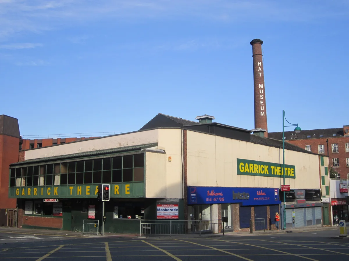
Stockport Garrick Theatre
Stockport Garrick Theatre is a theatre in the United Kingdom.
 📷 5
📷 5Historic churches · West Midlands
Our Lady and the Apostles Church, Stockport
Our Lady and the Apostles Church is a Roman Catholic parish church in the Edgeley area of Stockport, Greater Manchester, England. It was built from 1903 to 1905 and replaced St Philip and St James Chu
More castles in this region
 📷 3
📷 3Castles · West Midlands
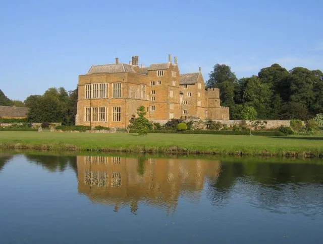
Broughton Castle
Broughton Castle — medieval manor house in Oxfordshire, England, UK.
 📷 3
📷 3Castles · West Midlands
Kenilworth Castle
Kenilworth Castle — castle ruin in the town of Kenilworth, Warwickshire, England, UK.
 📷 3
📷 3Castles · West Midlands
Allesley Castle
Allesley Castle — motte-and-bailey castle in Coventry, West Midlands, England, UK.
 📷 3
📷 3Castles · West Midlands
Ardley Castle
Ardley Castle is a castle in the United Kingdom.
Frequently asked questions
- Where is Metropolitan Borough of Stockport?
- Metropolitan Borough of Stockport is in the West Midlands, United Kingdom (postcode SK3 8AB), in the parish of Stockport, unparished area.
- Who owns Metropolitan Borough of Stockport?
- Metropolitan Borough of Stockport is owned by Stockport Metropolitan Borough Council.
- Does Metropolitan Borough of Stockport charge admission?
- Metropolitan Borough of Stockport typically charges admission. Check the official site for current ticket prices and opening hours.
- How do I get to Metropolitan Borough of Stockport?
- Drivers can navigate to postcode SK3 8AB. It sits within the Stockport parliamentary constituency.