Towns & cities · North Wales
Meols
Meols — village in England, United Kingdom.

Wikimedia Commons contributors — see linked file page for photographer and licence licence
Plan your visit
- Typical visit
- 3 h–6 h
- Nearest railway station
- Meols · 0.2 km
- Free entry
- Family-friendly
- Dog-friendly
About
Meols is a town, city, village or settlement in the United Kingdom. Recent population estimates put it at around 5,110 people. Wikidata describes it as: "village in England, United Kingdom". Coordinates: 53.4014°, -3.1553°.
Photo gallery
Protected designations
- Site of Special Scientific Interest: North Wirral Foreshore SSSI
- Ramsar wetland: Mersey Narrows & North Wirral Foreshore
Designations sourced from Natural England open data under OGL v3.
From the Wikipedia article
Meols (sometimes known as Great Meols) is a suburb in the Metropolitan Borough of Wirral, Merseyside, England. On the north coast of the Wirral Peninsula, it forms a contiguous built up area with the nearby town of Hoylake which lies to the west. Historically in Cheshire, since 1 April 1974 it has been part of the Metropolitan Borough of Wirral. The 2001 census recorded the population of Meols as 5,110. In the 2011 census specific population figures for Meols were not available. The total population of the Hoylake and Meols local government ward was 13,348.
Excerpt from Wikipedia under CC BY-SA 4.0. See the source article linked in Sources below.
Background
History
Meols was named as such by the Vikings; its original name from the Old Norse for 'sand dunes' was ', becoming melas by the time of the Domesday Book of 1086. Impressive archaeological finds dating back to the Neolithic period suggest that the site was an important centre in antiquity. Since about 1810, a large number of artefacts have been found relating to pre-Roman Carthage, the Iron Age, the Roman Empire, Armenia, the Anglo-Saxons and the Vikings. These include items as varied as coins which belonged to the Coriosolites in Brittany. Also, tokens, brooches, pins, knives, glass beads, keys, pottery, flint tools, mounts, pilgrim badges, pieces of leather, worked wood and iron tools. They…
Sourced from Wikipedia under CC BY-SA 4.0.
- Coordinates
- 53.4014, -3.1553
- District
- Wirral
- Parish
- Wirral, unparished area
- Postcode
- CH47 7BS
- Parliamentary constituency
- Wirral West
- Population
- 5,110
- Nearest railway station
- Meols — 0.2 km
- Official site
- boulter.com
Sources
- wikidata: Q1616766 (CC0)
- wikipedia: Meols (CC BY-SA 4.0)
- commons: Fingerpost to Greasby, Meols - geograph.org.uk - 78085.jpg (CC BY-SA 4.0)
Other places nearby
Loading nearby places…
Nearby
 📷 3
📷 3Parks · North Wales
Meols Park
Meols Park — park located in Meols on the Wirral Peninsula, England.
 📷 5
📷 5Natural landmarks · North Wales
Kingsmead School
Kingsmead School — a school heritage in wales-north, United Kingdom.
Caravan parks · North Wales
Park Lane Caravan Park
Park Lane Caravan Park — a caravan park in wales north.
_CWGC_gravestone_at_Holy_Trinity%2C_Hoylake.jpg?width=1200) 📷 3
📷 3Historic churches · North Wales
Holy Trinity Church, Hoylake
Holy Trinity Church, Hoylake — former church in Hoylake, Wirral England.
 📷 5
📷 5Museums · North Wales
Hoylake
Hoylake — a museum in wales-north, United Kingdom.
 📷 3
📷 3Public art & sculpture · North Wales
Knots
Knots — a public art in wales-north, United Kingdom.
More towns in this region
 📷 5
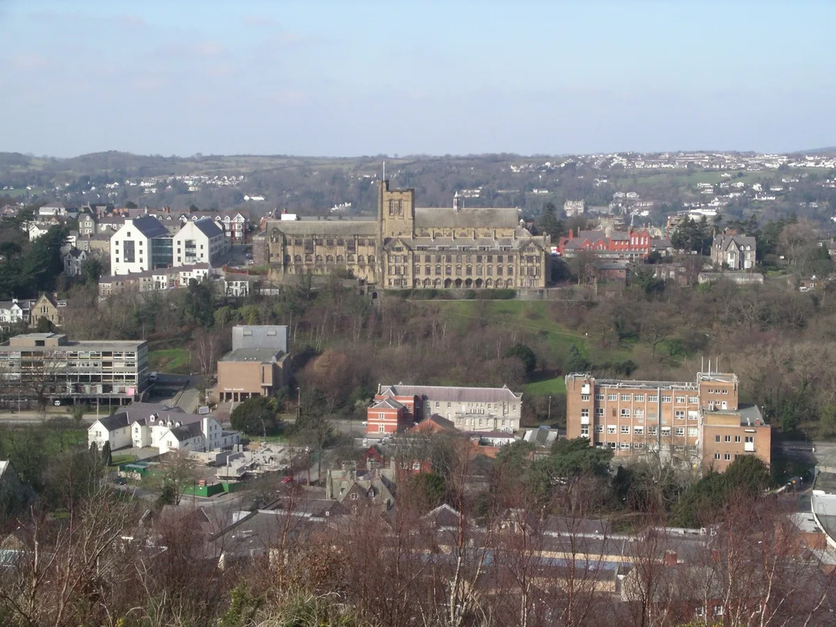
📷 5Towns & cities · North Wales
Bangor
Bangor — city in Gwynedd, Wales.
 Flagship📷 3
Towns & cities · North Wales
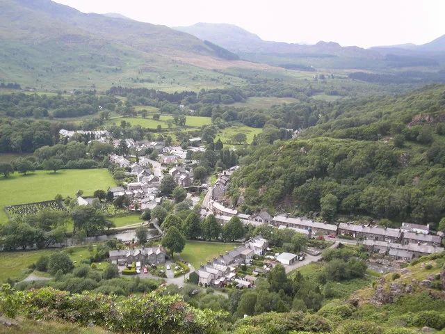
Beddgelert
Beddgelert — village and community in Gwynedd, Wales.
 Flagship📷 5
Towns & cities · North Wales
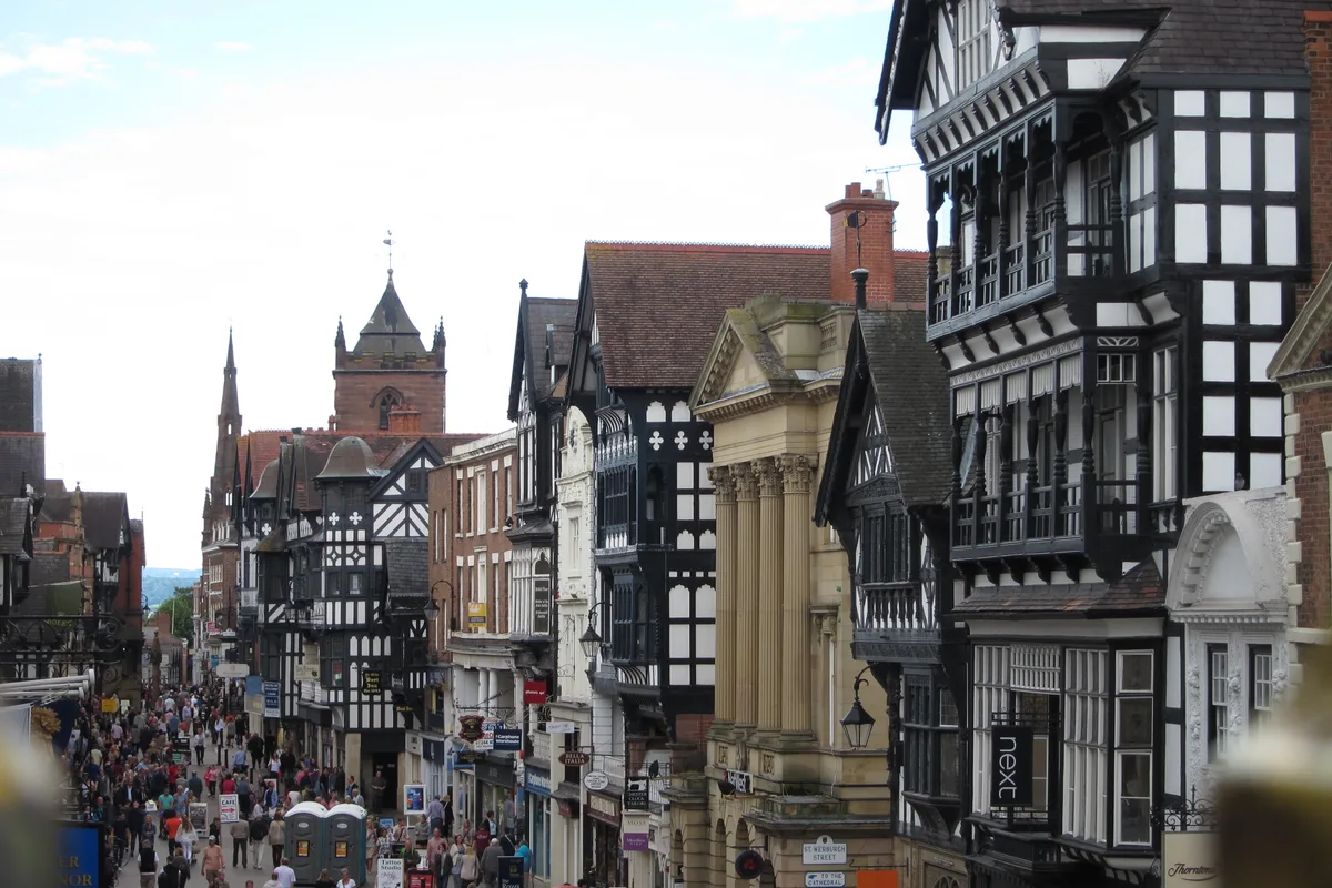
Chester
Chester — city in Cheshire, England.
 Flagship📷 3
Towns & cities · North Wales
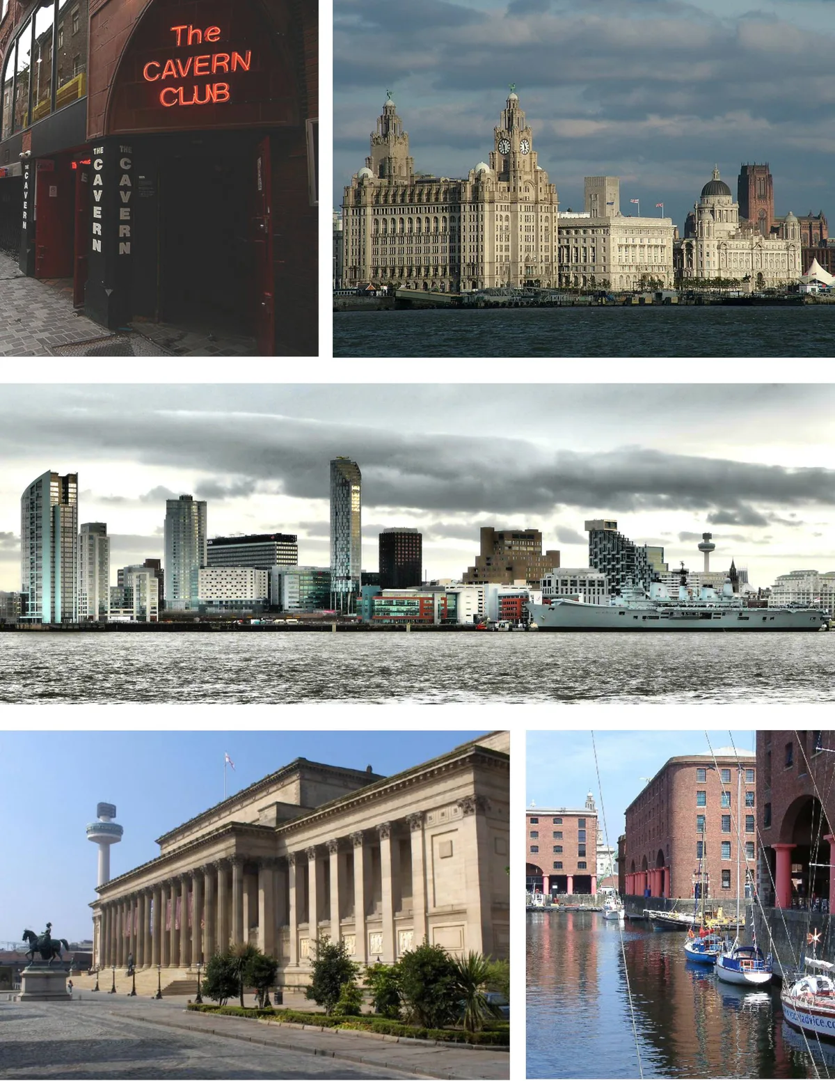
Liverpool
Liverpool — city in Merseyside, England, United Kingdom.
Frequently asked questions
- Where is Meols?
- Meols is in North Wales, United Kingdom (postcode CH47 7BS), in the parish of Wirral, unparished area.
- Is Meols a protected site?
- Yes — Meols is part of the North Wirral Foreshore SSSI Site of Special Scientific Interest and the Mersey Narrows & North Wirral Foreshore Ramsar wetland.
- Is Meols free to visit?
- Yes, Meols is free to enter.
- How do I get to Meols?
- The nearest railway station is Meols, about 0.2 km away. Drivers can navigate to postcode CH47 7BS.