Towns & cities · South East England
Medstead
Medstead — village and civil parish in Hampshire, United Kingdom.

Wikimedia Commons contributors — see linked file page for photographer and licence licence
Plan your visit
- Typical visit
- 3 h–6 h
- Nearest railway station
- Medstead and Four Marks · 2.3 km
- Free entry
- Family-friendly
- Dog-friendly
About
Medstead is a town, city, village or settlement in the United Kingdom. Recent population estimates put it at around 1,881 people. Wikidata describes it as: "village and civil parish in Hampshire, United Kingdom". Coordinates: 51.1295°, -1.0655°.
Photo gallery
From the Wikipedia article
Medstead is a village and civil parish in the East Hampshire district of Hampshire, England. Its nearest town is Alton, which lies 4.3 miles (6.9 km) northeast of the village. According to the 2011 census, the village had a population of 2,036 people. The parish covers an area of 1,536 acres (622 ha) and has an average elevation of approximately 600 feet (180 m) above sea level. One of the county's high points at 716 feet (218 m), King's Hill, runs through Medstead and Bentworth. The village church was first mentioned as a chapel in the Domesday Survey of 1086 and was soon replaced by a Norman church. The village has six Grade II listed buildings, including the 12th century St Andrew's Church and its war memorial, a farmhouse and a Victorian wheelhouse with a working donkey wheel. Medstead was one of the first villages in the United Kingdom to receive broadband. The parish contains three individual hamlets; South Town, Soldridge and Hattingley. Medstead also has its own restored railway station on the Watercress Line, services from which connect with the nearest national rail station 4.6 miles (7.4 km) at Alton railway station.
Excerpt from Wikipedia under CC BY-SA 4.0. See the source article linked in Sources below.
Background
Description
Following the baptism of Cynegils of Wessex in 635, an area of land was granted to the church at Winchester. The area became known as the "Liberty of Alresford" and contained parts of present-day Old Alresford, New Alresford and Medstead. He was followed by his son, also named William, who held lands in Medstead as well as a settlement called "Tadelyng" in 1428. }}
Sourced from Wikipedia under CC BY-SA 4.0.
- Coordinates
- 51.1295, -1.0655
- County
- Hampshire
- District
- East Hampshire
- Parish
- Medstead
- Postcode
- GU34 5LH
- Parliamentary constituency
- East Hampshire
- Population
- 1,881
- Nearest railway station
- Medstead and Four Marks — 2.3 km
- Official site
- www.neighbourhood.statistics.gov.uk
Sources
- wikidata: Q2089988 (CC0)
- wikipedia: Medstead (CC BY-SA 4.0)
- commons: St Andrew's Church, Medstead - geograph.org.uk - 210641.jpg (CC BY-SA 4.0)
Other places nearby
Loading nearby places…
Nearby
 📷 5
📷 5Memorials & monuments · South East England
Medstead War Memorial
Medstead War Memorial — Grade II listed building-listed memorial in england-south-east, United Kingdom.
 📷 5
📷 5Gardens · South East England
Gaston Grange
Gaston Grange — a garden in england-south-east, United Kingdom.
 Flagship📷 5
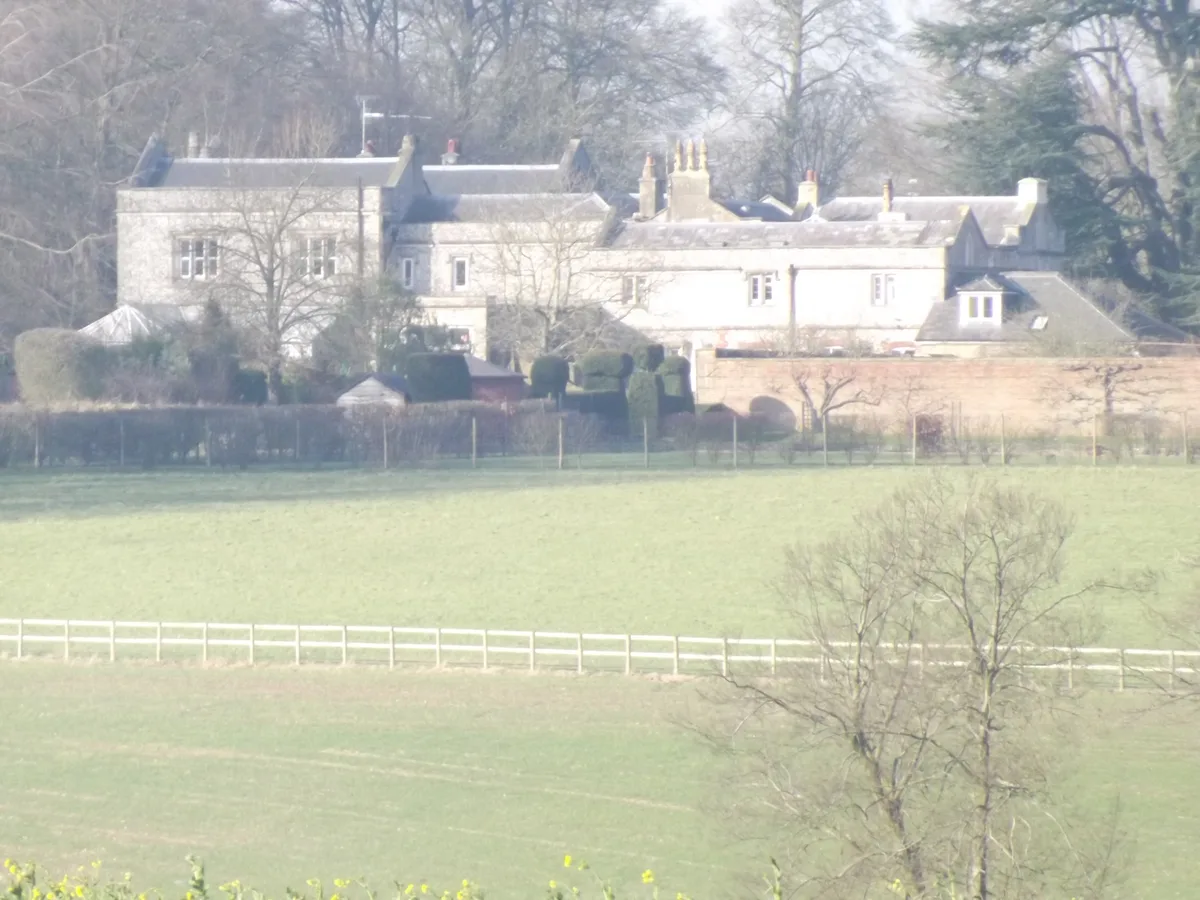
Stately homes · South East England
Bentworth Hall
Bentworth Hall — building in Hampshire, England.
 📷 5
📷 5Manor houses · South East England
Wivelrod House
Wivelrod House — a manor in england-south-east, United Kingdom.
 📷 5
📷 5Archaeological sites · South East England
La Aule
La Aule — a archaeological in england-south-east, United Kingdom.
 📷 5
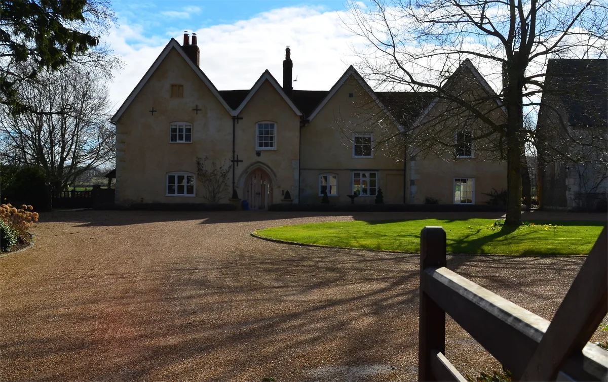
📷 5Stately homes · South East England
Hall Place
Hall Place — house in Bentworth, Hampshire, England, UK.
More towns in this region
 Flagship📷 10
Towns & cities · South East England
Aldermaston
Aldermaston — village and civil parish in West Berkshire in England, UK.
 Flagship📷 10
Towns & cities · South East England
Aldingbourne
Aldingbourne — village and civil parish in Arun, West Sussex, UK.
 Flagship📷 10
Towns & cities · South East England
Aldington
Aldington — village and civil parish in the Ashford District of Kent, England.
 Flagship📷 10
Towns & cities · South East England
Aldworth
Aldworth — village and civil parish in the English county of Berkshire.
Frequently asked questions
- Where is Medstead?
- Medstead is in Hampshire, South-East England, United Kingdom (postcode GU34 5LH), in the parish of Medstead.
- Is Medstead free to visit?
- Yes, Medstead is free to enter.
- How do I get to Medstead?
- The nearest railway station is Medstead and Four Marks, about 2.3 km away. Drivers can navigate to postcode GU34 5LH.