Historic houses · South West England
Medieval wayside cross 150m ESE of Lower Alsia
Medieval wayside cross 150m ESE of Lower Alsia — a Grade II*-listed historic house in england-south-west, United Kingdom.

L Nott — CC BY-SA 2.0 via Wikimedia Commons licence
Plan your visit
- Typical visit
- 1 h–2 h
- Family-friendly
- Limited wheelchair access
About
Medieval wayside cross 150m ESE of Lower Alsia is a Grade II*-listed building in england-south-west, United Kingdom. Grade II* status is conferred by Historic England (or Cadw, Historic Environment Scotland or NIEA equivalents) on buildings of exceptional national interest. See the linked Wikipedia article for full historical and architectural details.
Photo gallery
Place summary
The Medieval wayside cross, located 150m ESE of Lower Alsia in South-West England, is a historic monument within the parishes of St. Buryan, Lamorna and Paul. It is designated as a Grade II* listed structure, highlighting its significance and historical value.
AI-generated from the structured facts on this page (operator, designation, listing, era). Not a substitute for visiting.
- Coordinates
- 50.0694, -5.6396
- District
- Cornwall
- Parish
- St. Buryan, Lamorna and Paul
- Postcode
- TR19 6HG
- Parliamentary constituency
- St Ives
Sources
- wikidata: Q17649700 (CC0)
Other places nearby
Loading nearby places…
Nearby
 📷 3
📷 3Historic churches · South West England
St Buryan churchtown cross
St Buryan churchtown cross — a Grade II*-listed church in england-south-west, United Kingdom.
 📷 3
📷 3Historic churches · South West England
Churchyard cross in St Buryan churchyard
Churchyard cross in St Buryan churchyard — a Grade II*-listed church in england-south-west, United Kingdom.
 📷 5
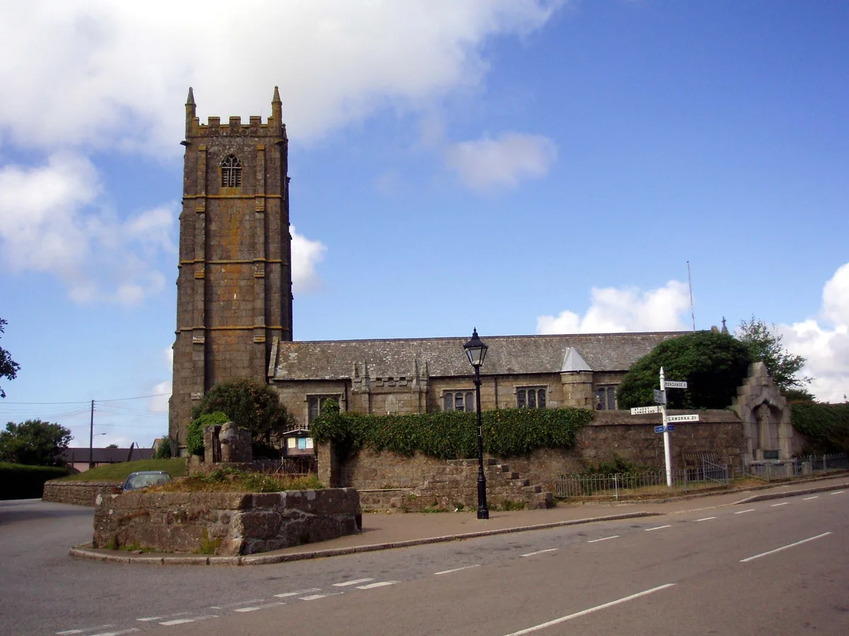
📷 5Historic churches · South West England
St Buryan's Church
St Buryan's Church — church in Cornwall, England, UK.
 📷 3
📷 3Memorials & monuments · South West England
Churchyard Walls And Adjoining War Memorial
Churchyard Walls And Adjoining War Memorial — Grade II listed building-listed memorial in england-south-west, United Kingdom.
 📷 3
📷 3Towns & cities · South West England
St Buryan
St Buryan — village and former civil parish in Cornwall, England.
 📷 3
📷 3Historic bridges · South West England
Bridge At Approximately 70 Metres South East Of Rissick Farmhouse
Bridge At Approximately 70 Metres South East Of Rissick Farmhouse — Grade II listed building-listed bridge in england-south-west, United Kingdom.
More historic houses in this region
 Flagship📷 7
Historic houses · South West England
Hazlegrove House
Hazlegrove House — house in Queen Camel, South Somerset, England, UK.
 📷 5
📷 5Historic houses · South West England
1, The Cloisters, Cathedral Close
1, The Cloisters, Cathedral Close — house in Exeter, Devon, England, UK.
_-_geograph.org.uk_-_6470250.jpg?width=1200) 📷 5
📷 5Historic houses · South West England
10, Guinea Street
10, Guinea Street — Georgian house in Bristol, England.
 📷 5
📷 5Historic houses · South West England
12 Orchard Street
12 Orchard Street — house in Bristol, United Kingdom.
Frequently asked questions
- Where is Medieval wayside cross 150m ESE of Lower Alsia?
- Medieval wayside cross 150m ESE of Lower Alsia is in South-West England, United Kingdom (postcode TR19 6HG), in the parish of St. Buryan, Lamorna and Paul.
- Is Medieval wayside cross 150m ESE of Lower Alsia a listed building?
- Medieval wayside cross 150m ESE of Lower Alsia is officially recognised as Grade II* listed.
- How do I get to Medieval wayside cross 150m ESE of Lower Alsia?
- Drivers can navigate to postcode TR19 6HG. It sits within the St Ives parliamentary constituency.