Historic bridges · South West England
Bridge At Approximately 70 Metres South East Of Rissick Farmhouse
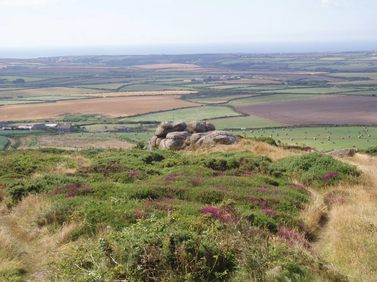
Bridge At Approximately 70 Metres South East Of Rissick Farmhouse — Grade II listed building-listed bridge in england-south-west, United Kingdom.

David Medcalf — CC BY-SA 2.0 via Wikimedia Commons licence
Plan your visit
- Typical visit
- 15 min–30 min
- Free entry
- Dog-friendly
About
Bridge At Approximately 70 Metres South East Of Rissick Farmhouse is a Grade II listed building-listed bridge in england-south-west, United Kingdom, registered on the National Heritage List for England (NHLE entry 1137147). Listed status protects buildings and structures of special architectural or historic interest. See the linked Wikipedia article for further details.
Photo gallery
Heritage listing
Details ST BURYAN SW 32 NE 4/39 Bridge at approximately 70 metres - south east of Rissick Farmhouse GV II Bridge. Circa early C19. Roughly-hewn granite monoliths and granite rubble. Wrought-iron handrails threaded through wrought-iron stanchions. Single-span bridge of simple lintelled construction. Listing NGR: SW3913626612 Legacy The contents of this record have been generated from a legacy data system. Legacy System number: 69597 Legacy System: LBS
From the Historic England List Entry under OGL v3.
Place summary
The Bridge at Approximately 70 Metres South East of Rissick Farmhouse is a Grade II listed bridge located in the parish of St. Buryan, Lamorna and Paul in South-West England. This structure is notable for its historical significance and architectural merit within the local landscape.
AI-generated from the structured facts on this page (operator, designation, listing, era). Not a substitute for visiting.
- Coordinates
- 50.0822, -5.6478
- District
- Cornwall
- Parish
- St. Buryan, Lamorna and Paul
- Postcode
- TR19 6HS
- Parliamentary constituency
- St Ives
Sources
- wikidata: Q26430375 (CC0)
Other places nearby
Loading nearby places…
Nearby
Campsites · South West England
Lower Treave
Lower Treave — a campsite in england south west.
Campsites · South West England
Cardinney Car. & Camp Park
Cardinney Car. & Camp Park — a campsite in england south west.
 📷 3
📷 3Historic houses · South West England
Medieval wayside cross 150m ESE of Lower Alsia
Medieval wayside cross 150m ESE of Lower Alsia — a Grade II*-listed historic house in england-south-west, United Kingdom.
 📷 5
📷 5Mountains & hills · South West England
Chapel Carn Brea
Chapel Carn Brea — Named summit at 198 m.
 📷 5
📷 5Windmills · South West England
Standing stone 200yds (180m) W of Chycarne
Standing stone 200yds (180m) W of Chycarne — a post mill in england-south-west, United Kingdom.
Campsites · South West England
Tower Park
Tower Park — a campsite in england south west.
More bridges in this region
 📷 5
📷 5Historic bridges · South West England
Albert Road Viaduct
Albert Road Viaduct is a historic bridge in the United Kingdom.
 📷 5
📷 5Historic bridges · South West England
Angarrack Viaduct
Angarrack Viaduct is a historic bridge in the United Kingdom.
 📷 5
📷 5Historic bridges · South West England
Avon Bridge
Avon Bridge is a historic bridge in the United Kingdom.
 📷 5
📷 5Historic bridges · South West England
Bailey Bridge
Bailey Bridge is a historic bridge in the United Kingdom.
Frequently asked questions
- Where is Bridge At Approximately 70 Metres South East Of Rissick Farmhouse?
- Bridge At Approximately 70 Metres South East Of Rissick Farmhouse is in South-West England, United Kingdom (postcode TR19 6HS), in the parish of St. Buryan, Lamorna and Paul.
- Is Bridge At Approximately 70 Metres South East Of Rissick Farmhouse a listed building?
- Bridge At Approximately 70 Metres South East Of Rissick Farmhouse is officially recognised as Grade II listed building listed.
- Is Bridge At Approximately 70 Metres South East Of Rissick Farmhouse free to visit?
- Yes, Bridge At Approximately 70 Metres South East Of Rissick Farmhouse is free to enter.
- How do I get to Bridge At Approximately 70 Metres South East Of Rissick Farmhouse?
- Drivers can navigate to postcode TR19 6HS. It sits within the St Ives parliamentary constituency.