Towns & cities · West Midlands
Markfield
Markfield — village and civil parish in the Hinckley and Bosworth district of Leicestershire, England.

Wikimedia Commons contributors — see linked file page for photographer and licence licence
Plan your visit
- Typical visit
- 3 h–6 h
- Nearest railway station
- Rothley · 8.1 km
- Free entry
- Family-friendly
- Dog-friendly
About
Markfield is a town, city, village or settlement in the United Kingdom. Recent population estimates put it at around 4,454 people. Wikidata describes it as: "village and civil parish in the Hinckley and Bosworth district of Leicestershire, England". Coordinates: 52.6878°, -1.2775°.
Photo gallery
From the Wikipedia article
Markfield is a large village in both the National Forest and Charnwood Forest, in the Hinckley and Bosworth district of Leicestershire, England. The settlement dates back to at least the time of the Norman conquest and is mentioned in the Domesday Book under the name Merchenefeld. A variant of this is still used as the name for the village primary school, Mercenfeld. It is to the south-east of Junction 22 of the M1, and to the south of the A50. The highest point in Markfield is shown on OS sheet 129 as 222 metres above sea level, making it one of the highest villages in Leicestershire. Nearby places are Newtown Linford, Groby, Field Head, and Stanton under Bardon. In the 1841 census its population was recorded at 1,203. In the 2011 census the parish had a population of 5,681. In 2012 Hinckley & Bosworth Borough Council published an overview of the Markfield conservation area.
Excerpt from Wikipedia under CC BY-SA 4.0. See the source article linked in Sources below.
- Coordinates
- 52.6878, -1.2775
- County
- Leicestershire
- District
- Hinckley and Bosworth
- Parish
- Markfield
- Postcode
- LE67 9LA
- Parliamentary constituency
- Mid Leicestershire
- Population
- 4,454
- Nearest railway station
- Rothley — 8.1 km
- Official site
- www.ukcensusdata.com
Sources
- wikidata: Q675979 (CC0)
- wikipedia: Markfield (CC BY-SA 4.0)
- commons: MAIN STREET, MARKFIELD.JPG (CC BY-SA 4.0)
Other places nearby
Loading nearby places…
Nearby
 📷 5
📷 5Historic churches · West Midlands
The Markfield Mosque
The Markfield Mosque — a church in england-west-midlands, United Kingdom.
 📷 5
📷 5Quarries · West Midlands
Cliffe Hill Quarry
Cliffe Hill Quarry — geological site in Leicestershire, England.
 📷 5
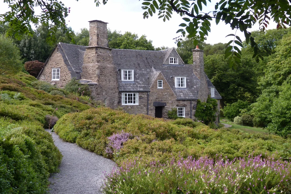
📷 5Historic houses · East Midlands
Stoneywell
Stoneywell — house in Ulverscroft, Leicestershire, England, UK.
 📷 3
📷 3Natural landmarks · East Midlands
National Trust Stoneywell
National Trust Stoneywell — a other in england-east-midlands, United Kingdom.
 📷 5
📷 5Museums · East Midlands
Ulverscroft
Ulverscroft — a museum in england-east-midlands, United Kingdom.
 📷 3
📷 3Memorials & monuments · West Midlands
Stanton under Bardon War Memorial
Stanton under Bardon War Memorial — Grade II listed building-listed memorial in england-west-midlands, United Kingdom.
More towns in this region
 Flagship📷 3
Towns & cities · West Midlands
Adderbury
Adderbury — village and civil parish in Cherwell district, Oxfordshire, England.
 Flagship📷 3
Towns & cities · West Midlands
Admington
Admington — village in Warwickshire, England, UK.
 Flagship📷 3
Towns & cities · West Midlands
Aldington
Aldington — village in Worcestershire, United Kingdom.
 Flagship📷 5
Towns & cities · West Midlands
Anstey
Anstey — large village in Leicestershire, England.
Frequently asked questions
- Where is Markfield?
- Markfield is in Leicestershire, the West Midlands, United Kingdom (postcode LE67 9LA), in the parish of Markfield.
- Is Markfield free to visit?
- Yes, Markfield is free to enter.
- How do I get to Markfield?
- Drivers can navigate to postcode LE67 9LA. It sits within the Mid Leicestershire parliamentary constituency.