Towns & cities · South West England
Lyng
Lyng — village and civil parish in Somerset, UK.

Wikimedia Commons contributors — see linked file page for photographer and licence licence
Plan your visit
- Typical visit
- 3 h–6 h
- Nearest railway station
- Westonzoyland · 4.4 km
- Free entry
- Family-friendly
- Dog-friendly
About
Lyng is a town, city, village or settlement in the United Kingdom. Recent population estimates put it at around 322 people. Address: TA3. Wikidata describes it as: "village and civil parish in Somerset, UK". Coordinates: 51.0530°, -2.9590°.
Photo gallery
Protected designations
- Site of Special Scientific Interest: Curry and Hay Moors SSSI
- National Nature Reserve: SOMERSET WETLANDS
- Ramsar wetland: Somerset Levels & Moors
Designations sourced from Natural England open data under OGL v3.
From the Wikipedia article
Lyng is a civil parish in Somerset, England, comprising the villages of West Lyng and East Lyng and the hamlet of Bankland.
Excerpt from Wikipedia under CC BY-SA 4.0. See the source article linked in Sources below.
Background
History
The name derives from the Old English hlenc, meaning hill. Nearby Athelney is famous for being the refuge of King Alfred the Great from the Danes before the Battle of Ethandun in 878, and the site of a monastery he founded after his victory. East Lyng is on higher ground towards the west of Athelney. Archaeological research suggests East Lyng was a medieval settlement, and was an important fortified burh during Saxon times, hence the usage of the East Lyng burh and Athelney by King Alfred the Great and his army. The Balt Moor Wall dates to this period. By the time of the Domesday census completed in 1086, Lyng was described as a small rural settlement. In 1267 a charter for a market was…
Sourced from Wikipedia under CC BY-SA 4.0.
- Coordinates
- 51.0530, -2.9590
- District
- Somerset
- Parish
- Lyng
- Postcode
- TA3
- Parliamentary constituency
- Bridgwater
- Population
- 322
- Nearest railway station
- Westonzoyland — 4.4 km
- Official site
- www.somersetintelligence.org.uk
Sources
- wikidata: Q1215641 (CC0)
- wikipedia: Lyng, Somerset (CC BY-SA 4.0)
- commons: Parsonage Farm, Lyng - geograph.org.uk - 376473.jpg (CC BY-SA 4.0)
Other places nearby
Loading nearby places…
Nearby
 📷 5
📷 5Historic churches · South West England
Church of St Bartholomew, Lyng
Church of St Bartholomew, Lyng — church in East Lyng, Somerset, England, UK.
 📷 3
📷 3Archaeological sites · South West England
Athelney Hill
Athelney Hill — a archaeological in england-south-west, United Kingdom.
 📷 5
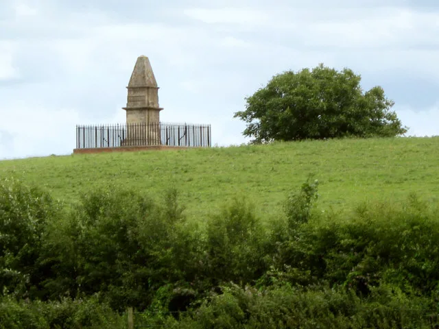
📷 5Memorials & monuments · South West England
King Alfred's Monument
King Alfred's Monument is a memorial in the United Kingdom.
 📷 5
📷 5Abbeys & priories · South West England
Athelney Abbey
Athelney Abbey — abbey in Somerset, England, UK.
 📷 4
📷 4Cathedrals · South West England
Athelney Abbey
Athelney Abbey is a cathedral in the United Kingdom.
 📷 3
📷 3Natural landmarks · South West England
Coates English Willow Visitor Centre
Coates English Willow Visitor Centre — a natural landmark in england-south-west, United Kingdom.
More towns in this region
 Flagship📷 10
Towns & cities · South West England
All Saints
All Saints — village and civil parish in Devon, England, UK.
 Flagship📷 10
Towns & cities · South West England
Axmouth
Axmouth — village and civil parish in Devon, England, UK.
 ★ Iconic📷 10
Towns & cities · South West England
Beer
Beer — village and civil parish in Devon, UK.
 Flagship📷 10
Towns & cities · South West England
Branscombe
Branscombe — village and civil parish in Devon, UK.
Frequently asked questions
- Where is Lyng?
- Lyng is in South-West England, United Kingdom (postcode TA3), in the parish of Lyng.
- Is Lyng a protected site?
- Yes — Lyng is part of the Curry and Hay Moors SSSI Site of Special Scientific Interest and the SOMERSET WETLANDS National Nature Reserve.
- Is Lyng free to visit?
- Yes, Lyng is free to enter.
- How do I get to Lyng?
- The nearest railway station is Westonzoyland, about 4.4 km away. Drivers can navigate to postcode TA3.