Caves · North West England
Lost Pot
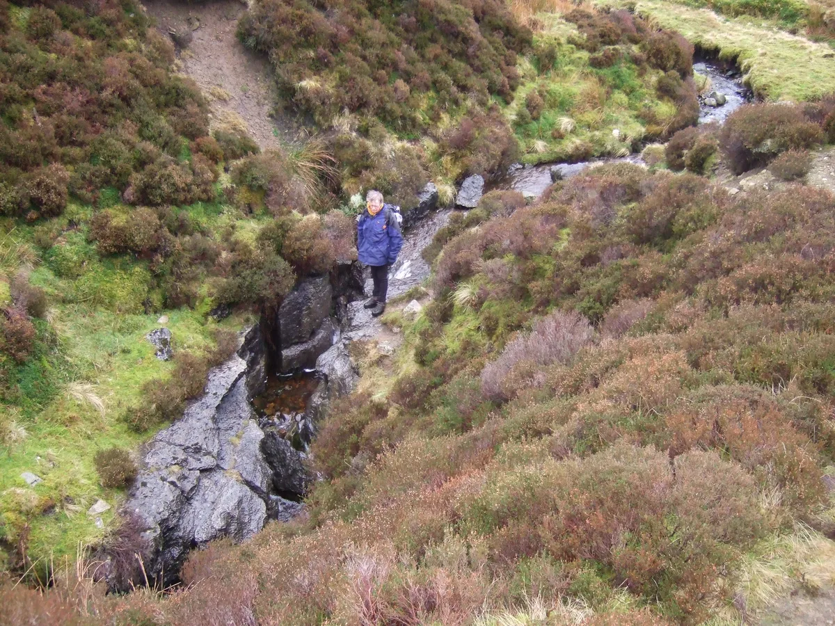
Lost Pot is a cave in the United Kingdom.

shikari — CC BY-SA 2.0 via Wikimedia Commons licence
Plan your visit
- Typical visit
- 45 min–1.5 h
- Nearest railway station
- Bentham · 9.4 km
- Free entry
- Dog-friendly
About
Lost Pot is a named cave entrance in the United Kingdom. Coordinates: 54.2003°, -2.5058°. This entry is part of The Great Britain Guide, a free, ad-free, open-data tourist directory.
Photo gallery
Protected designations
- Site of Special Scientific Interest: Leck Beck Head Catchment Area SSSI
Designations sourced from Natural England open data under OGL v3.
From the Wikipedia article
Lost Pot is a cave on Leck Fell, in Lancashire, England. It leads into the top end of Lost Johns' Cave, and is part of the Three Counties System, an 87 kilometres (54 mi) cave system which spans the borders of Cumbria, Lancashire, and North Yorkshire.
Excerpt from Wikipedia under CC BY-SA 4.0. See the source article linked in Sources below.
Background
History
Lost Pot was first mentioned by name in 1922, where it is implied that it was named by S.W. Cutriss. There were a number of attempts by various clubs since 1968 to locate a cave at the bottom of the shakehole, but it was not until the beginning of 1982 that a concerted effort by members of the Northern Pennine Club succeeded in excavating a shaft through the boulders into the passages below. The boulder slope found at the head of the first big pitch was very unstable, and it was necessary to put in a considerable amount of effort into stabilising it before a descent could be made. The cave was eventually bottomed on 18 February. Two days later the same boulder slope collapsed whilst a party…
Description
The entrance is in a 12 m cliff-lined fenced shakehole. An excavated 9 m deep shaft in the south-west corner of the shakehole leads into a chamber, where a further excavated shaft leads down for 8 m to an unstable boulder slope above a 30 m pitch. This drops into a high rift passage which passes under a high aven where It's a Cracker enters, and past an outlet passage down which the water flows. At the end of the rift, a small passage is the way through to the top of a 23 m pitch which drops into one of the two NPC Avens at the top end of Lost Johns' Cave (Boxhead Pot enters from the second aven). The entrance to Lost Pot is currently sealed. It's a Cracker () is a second entrance situated…
Sourced from Wikipedia under CC BY-SA 4.0.
- Coordinates
- 54.2003, -2.5058
- County
- Lancashire
- District
- Lancaster
- Parish
- Leck
- Postcode
- LA6 2JE
- Parliamentary constituency
- Morecambe and Lunesdale
- Nearest railway station
- Bentham — 9.4 km
Sources
- osm: n1819310747 (ODbL)
- wikipedia: Lost Pot (CC BY-SA 4.0)
Other places nearby
Loading nearby places…
Nearby
 📷 3
📷 3Caves · North West England
Boxhead Pot
Boxhead Pot is a cave in the United Kingdom.
📷 3Caves · North West England
It's a Cracker
It's a Cracker is a cave in the United Kingdom.
 📷 5
📷 5Caves · North West England
Lost Johns
Lost Johns — a cave broad in england-north-west, United Kingdom.
 📷 3
📷 3Mountains & hills · North West England
Lost John's Cave
Lost John's Cave — cave in United Kingdom.
 📷 3
📷 3Caves · North West England
Lost Johns' Cave
Lost Johns' Cave is a cave in the United Kingdom.
📷 5Caves · North West England
Short Drop Cave - Gavel Pot System
Short Drop Cave - Gavel Pot System — a cave broad in england-north-west, United Kingdom.
More caves in this region
 📷 3
📷 3Caves · North West England
Alum Pot
Alum Pot is a cave in the United Kingdom.
 📷 3
📷 3Caves · North West England
Antler Hole
Antler Hole is a cave in the United Kingdom.
 📷 3
📷 3Caves · North West England
Aquamole Pot
Aquamole Pot is a cave in the United Kingdom.
 📷 3
📷 3Caves · North West England
Austwick Beck Head
Austwick Beck Head is a cave in the United Kingdom.
Frequently asked questions
- Where is Lost Pot?
- Lost Pot is in Lancashire, North-West England, United Kingdom (postcode LA6 2JE), in the parish of Leck.
- Is Lost Pot a protected site?
- Yes — Lost Pot is part of the Leck Beck Head Catchment Area SSSI Site of Special Scientific Interest.
- Is Lost Pot free to visit?
- Yes, Lost Pot is free to enter.
- How do I get to Lost Pot?
- Drivers can navigate to postcode LA6 2JE. It sits within the Morecambe and Lunesdale parliamentary constituency.