Reservoirs & lochs · London
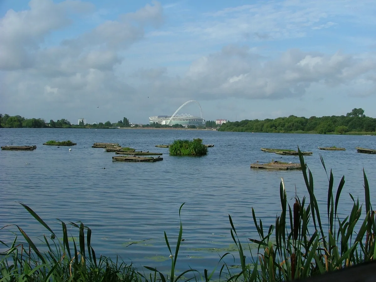
Lonsdale Road Reservoir
Lonsdale Road Reservoir — reservoir in Barnes, London, England, UK.

Wikimedia Commons contributors — see linked file page for photographer and licence licence
Plan your visit
- Typical visit
- 1 h–2.5 h
- Nearest railway station
- Barnes Bridge · 1.2 km
- Free entry
- Dog-friendly
About
Lonsdale Road Reservoir is a reservoir in the United Kingdom. Wikidata describes it as: "reservoir in Barnes, London, England, UK". Coordinates: 51.4824°, -0.2473°.
Photo gallery
From the Wikipedia article
Lonsdale Road Reservoir (also the Leg of Mutton Reservoir or Leg o' Mutton Reservoir) is a disused reservoir in Barnes in the London Borough of Richmond upon Thames. It is an 8.2-hectare (20-acre) local nature reserve and Site of Borough Importance for Nature Conservation, Grade 1, owned and managed by Richmond upon Thames London Borough Council.
Excerpt from Wikipedia under CC BY-SA 4.0. See the source article linked in Sources below.
Background
History
Prior to construction of the reservoir it was meadowland by the riverside, known as Westmead or Lotmead, as it was divided into 'lots' of land. It formed a parish exclave of Putney, surrounded by the parish of Barnes. It was also known as Putney detached. The land was purchased by the West Middlesex Waterworks Company and the reservoir was built in 1838. Putney became part of the County of London in 1889 which caused the detached part to become a county exclave surrounded by Surrey. The London Government Act 1899 made provision for this and Putney detached was transferred to the parish of Barnes on 1 April 1901. The reservoir was decommissioned in 1960. Developers proposed to build housing…
Visiting
There is a mile-long perimeter path round the reservoir, which can be accessed from the Thames Path, Ferry Lane and Lonsdale Road.
Sourced from Wikipedia under CC BY-SA 4.0.
- Coordinates
- 51.4824, -0.2473
- District
- Richmond upon Thames
- Parish
- Richmond upon Thames, unparished area
- Postcode
- SW13 9AR
- Parliamentary constituency
- Richmond Park
- Nearest railway station
- Barnes Bridge — 1.2 km
Sources
- wikidata: Q16996931 (CC0)
- wikipedia: Lonsdale Road Reservoir (CC BY-SA 4.0)
- commons: Lonsdale Road Reservoir 4.JPG (CC BY-SA 4.0)
Other places nearby
Loading nearby places…
Nearby
📷 5Forests & woodlands · London
Leg O'Mutton Nature Reserve
Leg O'Mutton Nature Reserve is a forest or woodland in the United Kingdom.
 📷 5
📷 5Natural landmarks · London
The Harrodian School
The Harrodian School — a school heritage in england-london, United Kingdom.
 📷 5
📷 5Piers · London
Chiswick Pier
Chiswick Pier is a pier in the United Kingdom.
 📷 5
📷 5Natural landmarks · London
The Swedish School
The Swedish School — a school heritage in england-london, United Kingdom.
 📷 5
📷 5Cemeteries · London
Chiswick Old Burial Ground
Chiswick Old Burial Ground is a cemetery in the United Kingdom.
 📷 5
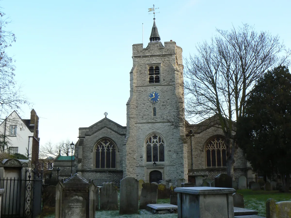
📷 5Historic churches · London
St. Nicholas Church, Chiswick
St. Nicholas Church, Chiswick — church in Church Street, Chiswick, London.
More places in this region
 Flagship📷 10
Reservoirs & lochs · London
Brent Reservoir
Brent Reservoir — reservoir which straddles the boundary between the London boroughs of Brent and Barnet, in England.
 Flagship📷 10
Reservoirs & lochs · London
Queen Mary Reservoir
Queen Mary Reservoir — lake in the United Kingdom.
 📷 5
📷 5Reservoirs & lochs · London
Aldenham Reservoir
Aldenham Reservoir — reservoir in Hertfordshire, England, UK.
 📷 5
📷 5Reservoirs & lochs · London
Banbury Reservoir
Banbury Reservoir — reservoir in the London Borough of Waltham Forest, England, United Kingdom.
Frequently asked questions
- Where is Lonsdale Road Reservoir?
- Lonsdale Road Reservoir is in London, in the United Kingdom — coordinates 51.4824°, -0.2473°. The nearest railway station is Barnes Bridge, around 1.2 km away.
- Is Lonsdale Road Reservoir free to visit?
- Yes — admission to Lonsdale Road Reservoir is free.