
Hill forts · South East England
Lomer, deserted medieval settlement
In or near Exton.
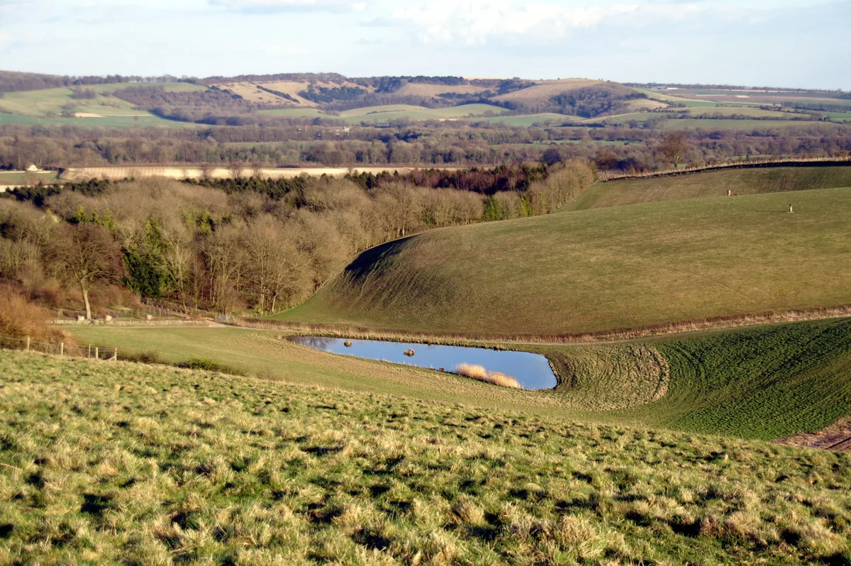
Lomer, deserted medieval settlement — archaeological site in Exton, Winchester, England, UK.

Wikimedia Commons contributors — see linked file page for photographer and licence licence

Plan your visit
- Typical visit
- 1 h–2 h
- Nearest railway station
- Alresford · 9.1 km
- Free entry
- Dog-friendly
Getting there & planning your visit
To visit Lomer, the nearest railway station is Alresford, which is 9.1 km away. The postcode for sat-nav is SO32 3LJ, and entry to the site is free.
About
Lomer, deserted medieval settlement is a hill fort in the United Kingdom. Heritage designation: scheduled monument. Wikidata describes it as: "archaeological site in Exton, Winchester, England, UK". Coordinates: 51.0068°, -1.1557°.
Photo gallery
Protected designations
- Site of Special Scientific Interest: River Itchen - 2000227 SSSI
Designations sourced from Natural England open data under OGL v3.
From the Wikipedia article
Lomer was a medieval village in Hampshire, England which became depopulated in the 16th century as a result of enclosure. It lies 7 miles (11 km) south-east of Winchester on the South Downs.
Excerpt from Wikipedia under CC BY-SA 4.0. See the source article linked in Sources below.
- Coordinates
- 51.0068, -1.1557
- County
- Hampshire
- District
- Winchester
- Parish
- Exton
- Postcode
- SO32 3LJ
- Parliamentary constituency
- Winchester
- Nearest railway station
- Alresford — 9.1 km
Sources
- wikidata: Q17641188 (CC0)
- wikipedia: Lomer (village) (CC BY-SA 4.0)
- commons: Lomer, deserted village - geograph.org.uk - 3645652.jpg (CC BY-SA 4.0)
Other places nearby

Lomer Village
Archaeological sites · 0.1 km
Beacon Hill
Mountains & hills · 1.3 km

College Down Farm
Campsites · 1.6 km

Kilmeston Down
Mountains & hills · 1.7 km

Preshaw House
Manor houses · 1.9 km

Milbury's
Historic pubs · 2.6 km

Warnford
Villages · 2.8 km

South Downs Way alternative route through Warnford
Mountain bike trails · 3.0 km

Kilmeston
Villages · 3.0 km

Church of Our Lady
Historic churches · 3.0 km

Beauworth Manor
Manor houses · 3.0 km
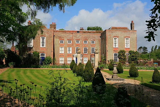
Kilmeston Manor
Stately homes · 3.0 km
Nearby
📷 5Archaeological sites · South East England
Lomer Village
Lomer Village — a archaeological in england-south-east, United Kingdom.
📷 5📷 5Campsites · South East England
College Down Farm
College Down Farm — a campsite in england south east.
📷 5Mountains & hills · South East England
Kilmeston Down
Kilmeston Down — mountain in england south east. Elevation: 173 m.
📷 4Manor houses · South East England
Preshaw House
Preshaw House — a manor in england-south-east, United Kingdom.
📷 5Where to eat & stay near Lomer, deserted medieval settlement
Places to stay
📷 5Campsites · South East England
College Down Farm
College Down Farm — a campsite in england south east.
 📷 5
📷 5Caravan parks · South East England
Brocklands Farm
Brocklands Farm — a caravan park in england south east.
 📷 5
📷 5Campsites · South East England
Grenville at Wallops Wood
Grenville at Wallops Wood — a campsite in england south east.
 📷 5
📷 5 📷 5
📷 5 📷 5
📷 5Caravan parks · South East England
The Spinney Caravan Park
The Spinney Caravan Park — a caravan park in england south east.
Places to eat & drink
📷 5 📷 7
📷 7Historic pubs · South East England
The George And Falcon Inn
The George And Falcon Inn in England South East, United Kingdom.
 📷 7
📷 7 📷 7
📷 7Historic pubs · South East England
The Flowerpots Inn
The Flowerpots Inn in England South East, United Kingdom.
 📷 7
📷 7Historic pubs · South East England
The Bakers Arms
The Bakers Arms in England South East, United Kingdom.
 📷 5
📷 5Historic pubs · South East England
Brushmakers Arms
Brushmakers Arms in England South East, United Kingdom.
More places in this region
 📷 5
📷 5Hill forts · South East England
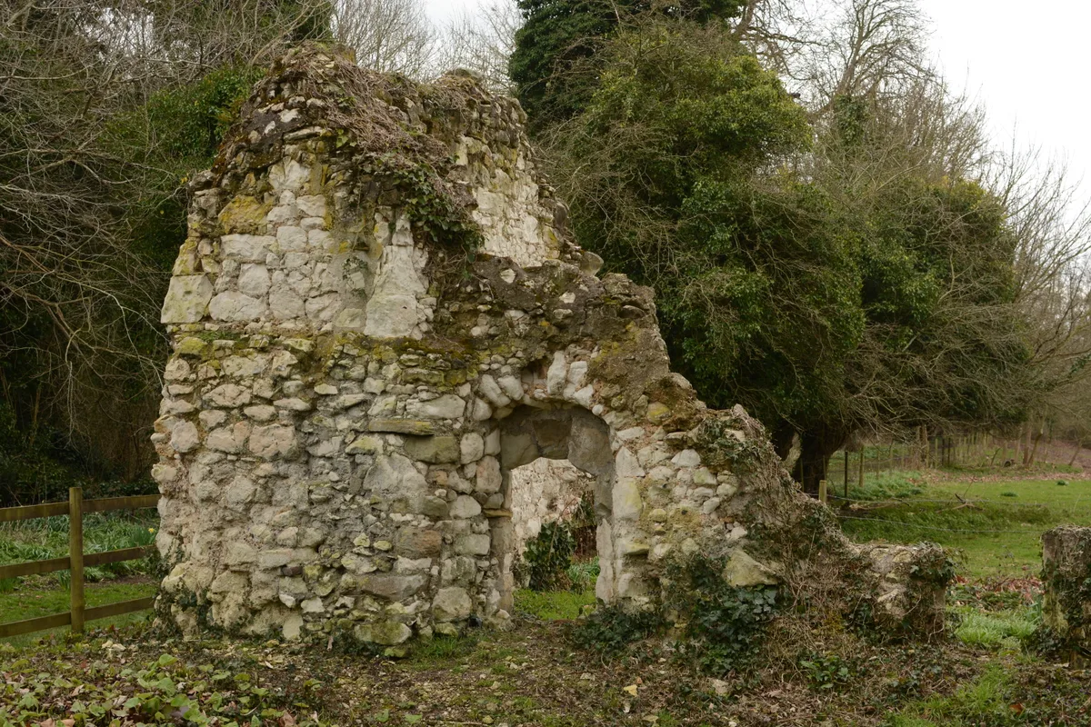
Ankerwycke Priory
Ankerwycke Priory — Benedictine nunnery with associated moat and fishponds.
 📷 5
📷 5Hill forts · South East England
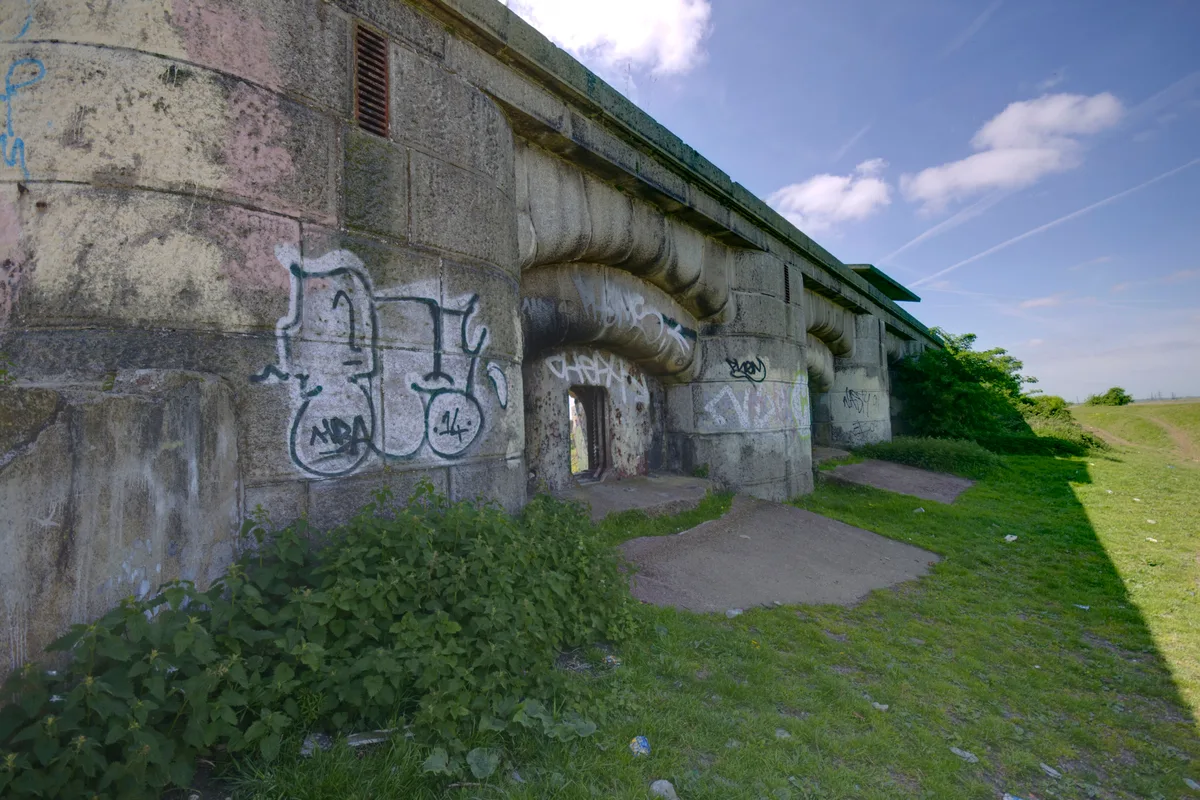
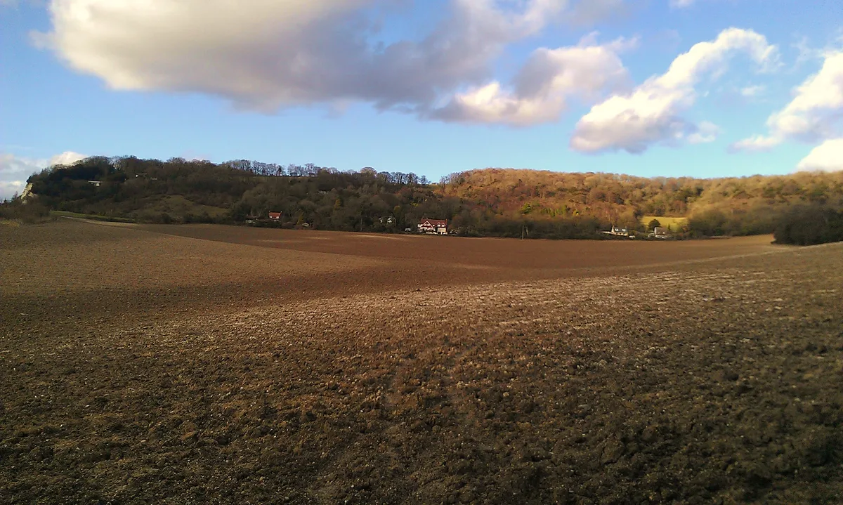
Shornemead Fort
Shornemead Fort — fort in Shorne, Kent, England, UK.
 📷 5
📷 5Hill forts · South East England
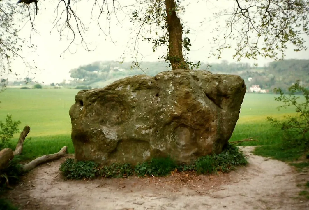
Smythe's Megalith
Smythe's Megalith — neolithic monument in Kent, England.
 📷 5
📷 5Hill forts · South East England
White Horse Stone
White Horse Stone — Two megaliths near Aylesford, Kent, England.
Frequently asked questions
- Where is Lomer, deserted medieval settlement?
- Lomer, deserted medieval settlement is in Hampshire, South-East England, United Kingdom (postcode SO32 3LJ), in the parish of Exton.
- What is Lomer, deserted medieval settlement?
- Lomer, deserted medieval settlement — archaeological site in Exton, Winchester, England, UK.
- How do I get to Lomer, deserted medieval settlement?
- The nearest railway station is Alresford, about 9.1 km away. The nearest town is Exton. Drivers can use postcode SO32 3LJ.
- Is Lomer, deserted medieval settlement a listed building?
- Lomer, deserted medieval settlement is officially recognised as scheduled monument listed.
- Is Lomer, deserted medieval settlement a protected site?
- Yes — Lomer, deserted medieval settlement is part of the River Itchen - 2000227 SSSI Site of Special Scientific Interest.
- Is Lomer, deserted medieval settlement free to visit?
- Yes, Lomer, deserted medieval settlement is free to enter.
- How do I get to Lomer, deserted medieval settlement?
- Drivers can navigate to postcode SO32 3LJ. It sits within the Winchester parliamentary constituency.