Hill forts · South East England
Lockerley Camp
Lockerley Camp — Iron Age hillfort in Hampshire, England.

Wikimedia Commons licence
Plan your visit
- Typical visit
- 1 h–2 h
- Nearest railway station
- Mottisfont & Dunbridge · 1.5 km
- Free entry
- Dog-friendly
About
Lockerley Camp is a hill fort in the United Kingdom. Wikidata describes it as: "Iron Age hillfort in Hampshire, England". Coordinates: 51.0317°, -1.5675°.
Photo gallery
From the Wikipedia article
Lockerley Camp is the site of an Iron Age univallate hillfort located in Hampshire. Situated on a low gravel-capped plateau, it covers approximately 5 acres and is now much reduced by ploughing, for the majority of the site falls into farmland, although a small area to the north is within a small coppice and the earthworks are more discernible here.
Excerpt from Wikipedia under CC BY-SA 4.0. See the source article linked in Sources below.
- Coordinates
- 51.0317, -1.5675
- County
- Hampshire
- District
- Test Valley
- Parish
- Lockerley
- Postcode
- SO51 0JH
- Parliamentary constituency
- Romsey and Southampton North
- Nearest railway station
- Mottisfont & Dunbridge — 1.5 km
Sources
- wikidata: Q6665454 (CC0)
- wikipedia: Lockerley Camp (CC BY-SA 4.0)
Other places nearby
Loading nearby places…
Nearby
 📷 5
📷 5Hill forts · South East England
Lockerley Camp Hillfort
Lockerley Camp Hillfort — a hill fort in england-south-east, United Kingdom.
Vineyards · South East England
Lockerly Camp
Lockerly Camp — a UK vineyard in england south east, producing English or Welsh wine from cool-climate grape varieties.
📷 5Manor houses · South East England
Lockerley Manor
Lockerley Manor — a manor in england-south-east, United Kingdom.
Mountain bike trails · South East England
Mottisfont Estate Cycle Paths Loop Long
Mottisfont Estate Cycle Paths Loop Long — a mtb trail in england south east.
 📷 5
📷 5Watermills · South East England
Holbury Mill(Disused)
Holbury Mill(Disused) is a watermill in the United Kingdom.
 📷 5
📷 5Natural landmarks · South East England
North Heath
North Heath — a other in england-south-east, United Kingdom.
More places in this region
 Flagship📷 10
Hill forts · South East England
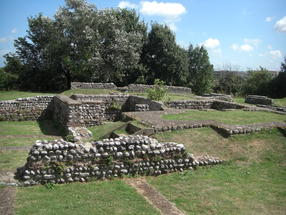
Castrum Anderitum
Castrum Anderitum — 3rd century Roman fort in the province of Britannia.
 Flagship📷 10
Hill forts · South East England
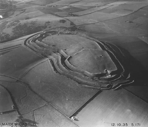
Maiden Castle
Maiden Castle — Iron Age hill fort in Dorset, England, UK.
 Flagship📷 10
Hill forts · South East England
Portus Adurni
Portus Adurni is a hill fort in the United Kingdom.
 Flagship📷 10
Hill forts · South East England
Richborough Roman Fort
Richborough Roman Fort — Roman fort at Richborough, Ash, United Kingdom.
Frequently asked questions
- Where is Lockerley Camp?
- Lockerley Camp is in Hampshire, South-East England, United Kingdom (postcode SO51 0JH), in the parish of Lockerley.
- Is Lockerley Camp free to visit?
- Yes, Lockerley Camp is free to enter.
- How do I get to Lockerley Camp?
- The nearest railway station is Mottisfont & Dunbridge, about 1.5 km away. Drivers can navigate to postcode SO51 0JH.