Reservoirs & lochs · Scottish Highlands
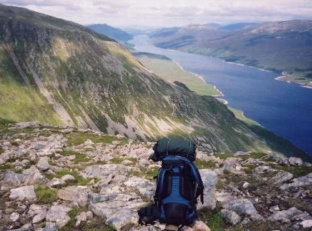
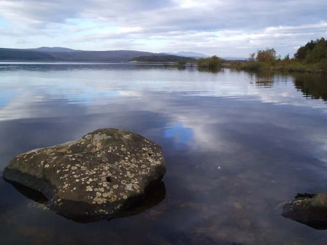
Loch Mhòr
Loch Mhòr — reservoir in Highland, Scotland, UK.

Wikimedia Commons contributors — see linked file page for photographer and licence licence
Plan your visit
- Typical visit
- 1 h–2.5 h
- Free entry
- Dog-friendly
About
Loch Mhòr is a reservoir in the United Kingdom. Wikidata describes it as: "reservoir in Highland, Scotland, UK". Coordinates: 57.2460°, -4.4180°.
Photo gallery
From the Wikipedia article
Loch Mhòr is a reservoir in the traditional county of Inverness-shire in the Scottish Highlands. Its name literally translates from Scottish Gaelic as "Big Loch". It occupies much of the wide floor of Stratherrick which runs roughly parallel to Loch Ness, around 3 mi (4.8 km) to its southeast. A generally shallow body of water 179 m (587 ft) above Loch Ness, Loch Mhòr achieves a depth in excess of 20 m (66 ft) towards its southern end. It is nearly 5 miles (8.0 km) in length, with a maximum breadth of 3⁄4 mile (1.2 km) and mean breadth around 1⁄3 mile (0.5 km). In its middle reaches, a broad and shallow embayment on its southeastern shore contains a scatter of islets. The loch is elongated with a very irregular form, the eastern shore broken up by multiple bays. Loch Mhòr was originally two separate lochs, Loch Garth in the southwest and Loch Farraline in the northeast. The reservoir was formed in 1896 by the construction of two dams, raising the water level by up to 20 feet (6.1 m) above the level of Loch Farraline and joining the two lochs into one. This was created for a hydro-electric scheme and associated aluminium smelter at Foyers, although the smelter closed in 1967. Loch Mhòr is divided in the middle by a causeway carrying a minor road. A masonry dam was constructed across the River Gourag, 230 m (750 ft) long and 9 m (30 ft) high. A longer embankment dam was constructed at Garthbeg, 325 m (1,066 ft) long and 5 m (16 ft) high. This only had a freeboard of 1 m (3 ft 3 in) and was known to leak. The main rivers flowing into Loch Mhòr are the Aberchalder Burn, originally a tributary of Loch Garth, and the River E, which was diverted for the original hydro scheme by construction of the Garthbeg dam. The waters of the loch empty as the River Gourag below the Loch Mhòr dam at its southwestern end. This short river becomes the Allt an Lòin downstream of the former confluence with the River E, then joins the River Foyers which empties into Loch Ness via the Falls…
Excerpt from Wikipedia under CC BY-SA 4.0. See the source article linked in Sources below.
- Coordinates
- 57.2460, -4.4180
- District
- Highland
- Postcode
- IV2 6UJ
- Parliamentary constituency
- Inverness, Skye and West Ross-shire
Sources
- wikidata: Q6664970 (CC0)
- wikipedia: Loch Mhòr (CC BY-SA 4.0)
- commons: Double Rainbow on Loch Mhor - geograph.org.uk - 1028199.jpg (CC BY-SA 4.0)
Other places nearby
Loading nearby places…
Nearby
 📷 4
📷 4Reservoirs & lochs · Scottish Highlands
Stratherrick
Stratherrick in Scotland Islands, United Kingdom.
 📷 4
📷 4Reservoirs & lochs · Scottish Highlands
Wester Aberchalder
Wester Aberchalder in Scotland Islands, United Kingdom.
 📷 3
📷 3Memorials & monuments · Scottish Highlands
Stratherrick War Memorial
Stratherrick War Memorial — a memorial in scotland-highlands, United Kingdom.
 📷 4
📷 4Reservoirs & lochs · Scottish Highlands
Gorthleck
Gorthleck in Scotland Islands, United Kingdom.
 📷 5
📷 5Reservoirs & lochs · Scottish Highlands
Errogie
Errogie in Scotland Islands, United Kingdom.
 📷 5
📷 5Historic churches · Scottish Highlands
Former United Free Church, Errogie
Former United Free Church, Errogie — category C listed building-listed church in scotland-highlands, United Kingdom.
More places in this region
 Flagship📷 3
Reservoirs & lochs · Scottish Highlands
Loch Ericht
Loch Ericht — lake in Perth and Kinross, and Highland, Scotland, UK, outflows to River Ericht.
 Flagship📷 3
Reservoirs & lochs · Scottish Highlands
Loch Shin
Loch Shin — reservoir in Highland, Scotland, UK, outflows to the River Shin.
 📷 3
📷 3Reservoirs & lochs · Scottish Highlands
Allt na Lairige Reservoir
Allt na Lairige Reservoir — 1956 artificial lake in Argyll and Bute, Scotland, UK, on and outflowing west to Allt na Lairige.
.jpg?width=1200) 📷 3
📷 3Reservoirs & lochs · Scottish Highlands
Ardlussa Fishing Loch
Ardlussa Fishing Loch — 1900 artificial lake on Jura, Argyll and Bute, Scotland, UK, on the Lussa River.
Frequently asked questions
- Where is Loch Mhòr?
- Loch Mhòr is in Scottish Highlands, in the United Kingdom — coordinates 57.2460°, -4.4180°.
- Is Loch Mhòr free to visit?
- Yes — admission to Loch Mhòr is free.