Hill forts · South West England
Livery Dole
Livery Dole — area of Exeter in Devonshire, England.

Wikimedia Commons contributors — see linked file page for photographer and licence licence
Plan your visit
- Typical visit
- 1 h–2 h
- Nearest railway station
- Polsloe Bridge · 1.2 km
- Free entry
- Dog-friendly
About
Livery Dole is a hill fort in the United Kingdom. Wikidata describes it as: "area of Exeter in Devonshire, England". Coordinates: 50.7220°, -3.5103°.
Photo gallery
From the Wikipedia article
Livery Dole in Exeter, Devon, is an ancient triangular site between what is today Heavitree Road and Magdalen Road, in the eastern suburbs of Exeter. It was most notoriously used as a place for executions, and has contained an almshouse and chapel since 1591.
Excerpt from Wikipedia under CC BY-SA 4.0. See the source article linked in Sources below.
- Coordinates
- 50.7220, -3.5103
- County
- Devon
- District
- Exeter
- Parish
- Exeter, unparished area
- Postcode
- EX2 5DT
- Parliamentary constituency
- Exeter
- Nearest railway station
- Polsloe Bridge — 1.2 km
Sources
- wikidata: Q6658689 (CC0)
- wikipedia: Livery Dole (CC BY-SA 4.0)
- commons: OldLiveryDole1850BySpreat.jpg (CC BY-SA 4.0)
Other places nearby
Loading nearby places…
Nearby
 📷 3
📷 3Memorials & monuments · South West England
E H ( Exeter Heavitree )
E H ( Exeter Heavitree ) — a memorial in england-south-west, United Kingdom.
 📷 5
📷 5Natural landmarks · South West England
Exeter School
Exeter School — a school heritage in england-south-west, United Kingdom.
 📷 3
📷 3Public art & sculpture · South West England
Voices of Heavitree
Voices of Heavitree — a public art in england-south-west, United Kingdom.
 📷 5
📷 5Natural landmarks · South West England
Exeter Tutorial College
Exeter Tutorial College — a school heritage in england-south-west, United Kingdom.
 📷 3
📷 3Memorials & monuments · South West England
Theatre Fire Memorial
Theatre Fire Memorial — a memorial in england-south-west, United Kingdom.
 📷 3
📷 3Memorials & monuments · South West England
City of Exeter War Memorial Cross, Higher Cemetery
City of Exeter War Memorial Cross, Higher Cemetery — Grade II listed building-listed memorial in england-south-west, United Kingdom.
More places in this region
 📷 5
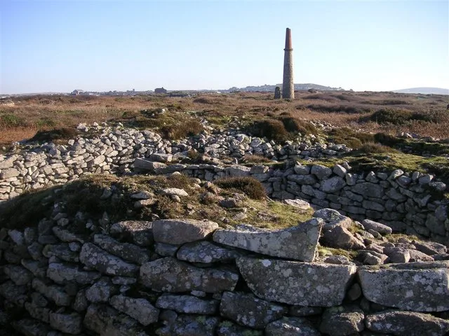
📷 5Hill forts · South West England
Ballowall Barrow
Ballowall Barrow — archaeological site in St Just, Cornwall, England, UK.
 📷 5
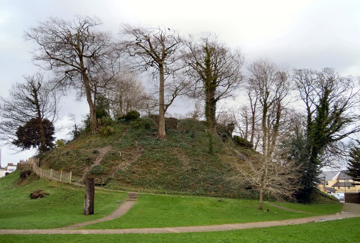
📷 5Hill forts · South West England
Barnstaple Castle
Barnstaple Castle — castle in Devon, England, UK.
 📷 5
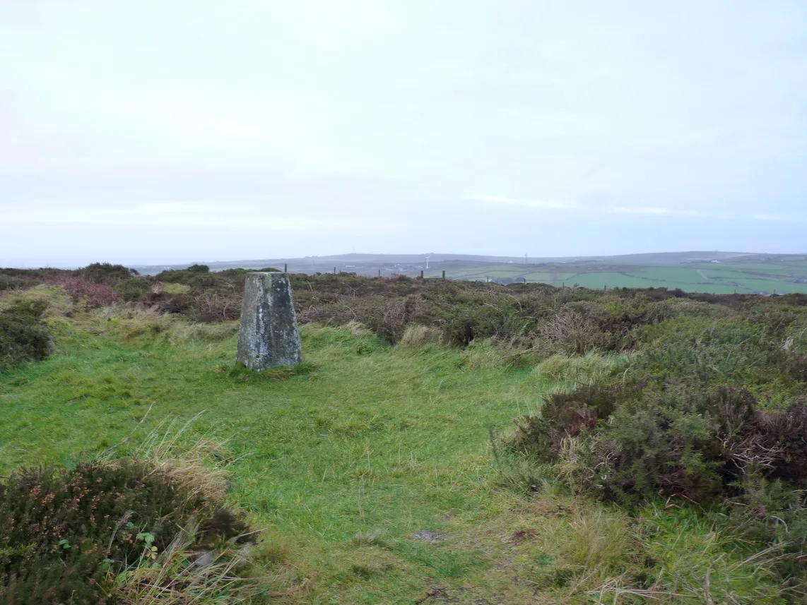
📷 5Hill forts · South West England
Bartinney Castle
Bartinney Castle — Iron Age enclosure in Cornwall, England, UK.
 📷 5
📷 5Hill forts · South West England
Berry's Wood
Berry's Wood — iron Age hill fort in south Devon, England, UK.
Frequently asked questions
- Where is Livery Dole?
- Livery Dole is in Devon, South-West England, United Kingdom (postcode EX2 5DT), in the parish of Exeter, unparished area.
- Is Livery Dole free to visit?
- Yes, Livery Dole is free to enter.
- How do I get to Livery Dole?
- The nearest railway station is Polsloe Bridge, about 1.2 km away. Drivers can navigate to postcode EX2 5DT.