Towns & cities · Northern Ireland
Laurelvale
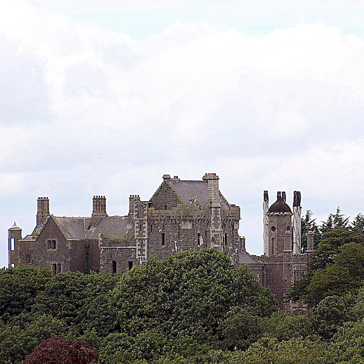
Laurelvale — village in County Armagh, Northern Ireland, UK.
_-_geograph.org.uk_-_1180439.jpg?width=1200)
Wikimedia Commons contributors — see linked file page for photographer and licence licence
_-_geograph.org.uk_-_1180439.jpg)
Plan your visit
- Typical visit
- 3 h–6 h
- Nearest railway station
- Portadown · 6.3 km
- Free entry
- Family-friendly
- Dog-friendly
About
Laurelvale is a town, city, village or settlement in the United Kingdom. Recent population estimates put it at around 1,288 people. Address: BT62. Wikidata describes it as: "village in County Armagh, Northern Ireland, UK". Coordinates: 54.3688°, -6.4514°.
Photo gallery
From the Wikipedia article
Laurelvale is a village in County Armagh, Northern Ireland. It is beside the smaller village of Mullavilly and the two are sometimes referred to as Laurelvale-Mullavilly or Mullavilly-Laurelvale. The village is three miles south of Portadown and 1.5 miles northwest of Tandragee. It had a population of 1,288 people in the 2011 census.
Excerpt from Wikipedia under CC BY-SA 4.0. See the source article linked in Sources below.
Background
History
Laurelvale was founded in the 1850s by Thomas Sinton JP (1826–1887) to house the workers in his linen mill of Thomas Sinton & Co. Ltd, which was in the village. At its height, Sintons' Mill had over 1000 workers. The mill has since been demolished. The company remained in family ownership until 1945 when it was taken over by the Ministry of Defence and operated by Hoffmans (who made ball bearings for gun turrets). The Sinton family also ran mills and bleach-works in Tandragee, Killyleagh, Tullylish and at Ravernet outside Hillsborough, County Down. and PETER DE SALIS, in the Manor of Clare in County of Armagh, 1802.]] Thomas Sinton also built a large house in the village, Laurelvale House,…
Sourced from Wikipedia under CC BY-SA 4.0.
- Coordinates
- 54.3688, -6.4514
- Postcode
- BT62
- Parliamentary constituency
- Newry and Armagh
- Population
- 1,288
- Nearest railway station
- Portadown — 6.3 km
- Official site
- www.logainm.ie
Sources
- wikidata: Q1940668 (CC0)
- wikipedia: Laurelvale (CC BY-SA 4.0)
- commons: Mullavilly Parish (Cof I) - geograph.org.uk - 1180439.jpg (CC BY-SA 4.0)
Other places nearby
Loading nearby places…
Nearby

Archaeological sites · Northern Ireland
Glenorn Well
Glenorn Well — a archaeological in northern-ireland, United Kingdom.
 📷 4
📷 4Historic churches · Northern Ireland
Ballymore Parish Church
Ballymore Parish Church in Northern Ireland, United Kingdom.
 📷 3
📷 3Castles · Northern Ireland
Tayto Castle
Tayto Castle — a castle in northern-ireland, United Kingdom.
 📷 3
📷 3Castles · Northern Ireland
Tandragee Castle
Tandragee Castle is a castle in the United Kingdom.
 📷 5
📷 5Natural landmarks · Northern Ireland
Tandragee
Tandragee in Northern Ireland, United Kingdom.
 📷 3
📷 3Natural landmarks · Northern Ireland
Coolyhill
Coolyhill in Northern Ireland, United Kingdom.
More towns in this region
 Flagship📷 5
Towns & cities · Northern Ireland
Bangor
Bangor — city in Northern Ireland, United Kingdom.
 Flagship📷 5
Towns & cities · Northern Ireland
Belfast
Belfast — capital city of Northern Ireland.
 Flagship📷 3
Towns & cities · Northern Ireland
Derry
Derry — city in Northern Ireland.
 Flagship📷 5
Towns & cities · Northern Ireland
Lisburn
Lisburn — city in Northern Ireland.
Frequently asked questions
- Where is Laurelvale?
- Laurelvale is in Northern Ireland, United Kingdom (postcode BT62).
- Is Laurelvale free to visit?
- Yes, Laurelvale is free to enter.
- How do I get to Laurelvale?
- The nearest railway station is Portadown, about 6.3 km away. Drivers can navigate to postcode BT62.