Other places · East Midlands
Laughton en le Morthen
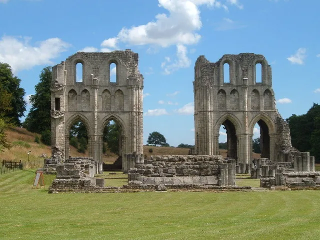
Laughton en le Morthen — a other in england-east-midlands, United Kingdom.

Jonathan Thacker — CC BY-SA 2.0 via Wikimedia Commons licence
Plan your visit
- Typical visit
- 1 h–2 h
About
Laughton en le Morthen is a other in england-east-midlands, United Kingdom, listed in the Wikipedia register of British heritage and tourism sites. See the linked Wikipedia article for full details.
Photo gallery
Place summary
Laughton en le Morthen is a village located in the East Midlands. It features a mix of historical architecture and rural landscapes. The village is part of the Metropolitan Borough of Rotherham and is noted for its local heritage and community.
AI-generated from the structured facts on this page (operator, designation, listing, era). Not a substitute for visiting.
Background
History
The name Laughton derives from the Old English lēactūn meaning 'leek farm'. In the mid 11th century, Edwin, Earl of Mercia built one of his residences at Laughton, the location of which has been identified through archaeological investigation. That same programme of research demonstrated that following the Norman conquest of England, a castle was erected over the site of Edwin's residence by Roger de Busli (c. 1038 – c. 1099), a Norman baron who had been a loyal supporter of William's claim to the English throne. Busli was also given feudal manors in Nottinghamshire, Derbyshire and the Strafforth wapentake of Yorkshire. To enforce his rule, Laughton castle was among a number that Busli had…
Sourced from Wikipedia under CC BY-SA 4.0.
- Coordinates
- 53.3800, -1.2100
- District
- Rotherham
- Parish
- Dinnington St. John's
- Postcode
- S25 2QX
- Parliamentary constituency
- Rother Valley
Sources
- wikipedia: Laughton en le Morthen (CC BY-SA 4.0)
Other places nearby
Loading nearby places…
Nearby
 📷 4
📷 4Historic churches · East Midlands
St John's Church, Throapham
St John's Church, Throapham — a Grade I-listed church in england-east-midlands, United Kingdom.
 📷 5
📷 5Museums · East Midlands
Dinnington, South Yorkshire
Dinnington is a town in the civil parish of Dinnington St John's, in the Metropolitan Borough of Rotherham, in South Yorkshire, England. It is near to the towns of Worksop and Rotherham and cities of
 📷 3
📷 3Historic houses · East Midlands
Thurcroft Hall
Thurcroft Hall — house in Thurcroft, South Yorkshire, England, UK.
 📷 3
📷 3Zoos & aquariums · East Midlands
Tropical Butterfly House
Tropical Butterfly House — a zoo aquarium in england-east-midlands, United Kingdom.
 📷 3
📷 3Abbeys & priories · East Midlands
Roche Abbey
Roche Abbey — abbey in Rotherham, South Yorkshire, England, UK.
 📷 4
📷 4Cathedrals · Yorkshire & the Humber
Roche Abbey
Roche Abbey is a cathedral in the United Kingdom.
More places in this region
 📷 3
📷 3Other places · East Midlands
A Mighty Blow of Freedom: Fuck the Media
A Mighty Blow of Freedom: Fuck the Media — Public artwork (sculpture) by Michael Sandle.
%2C_West_Gate%2C_Mansfield_(1).jpg?width=1200) 📷 3
📷 3Other places · East Midlands
A Spire for Mansfield
A Spire for Mansfield — Public artwork (sculpture).
 📷 3
📷 3Other places · East Midlands
Agamemnon (aka "Lenny" or "Leo")
Agamemnon (aka "Lenny" or "Leo") — Public artwork (statue) by Joseph Else.
 📷 3
📷 3Other places · East Midlands
Allen the Peregrine
Allen the Peregrine — Public artwork (statue) by Jason Heppenstall.
Frequently asked questions
- Where is Laughton en le Morthen?
- Laughton en le Morthen is in East Midlands, in the United Kingdom — coordinates 53.3800°, -1.2100°.