Towns & cities · South West England
Langton Herring
Langton Herring — village and civil parish in Dorset, United Kingdom.

Wikimedia Commons contributors — see linked file page for photographer and licence licence
Plan your visit
- Typical visit
- 3 h–6 h
- Nearest railway station
- Upwey · 5.8 km
- Free entry
- Family-friendly
- Dog-friendly
About
Langton Herring is a town, city, village or settlement in the United Kingdom. Recent population estimates put it at around 110 people. Wikidata describes it as: "village and civil parish in Dorset, United Kingdom". Coordinates: 50.6407°, -2.5468°.
Photo gallery
Protected designations
- Site of Special Scientific Interest: Chesil & The Fleet SSSI
- Area of Outstanding Natural Beauty: Dorset
- Ramsar wetland: Chesil Beach & the Fleet
Designations sourced from Natural England open data under OGL v3.
From the Wikipedia article
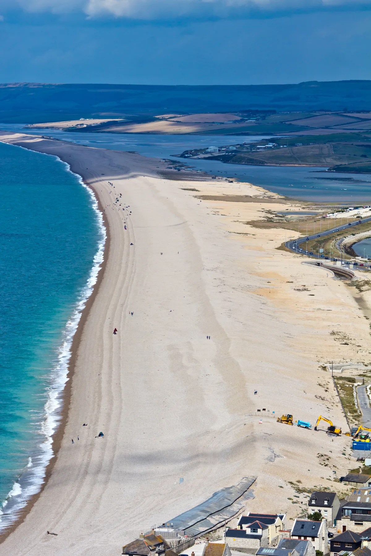
Langton Herring is a village and civil parish in the county of Dorset in South West England. It lies about 5 miles (8.0 km) north-west of the coastal resort town of Weymouth. It is "prudently set on a ridge above the Fleet", the Fleet being a brackish lagoon behind Chesil Beach. Dorset County Council estimate that in 2013 the population of the civil parish was 120. In the 2011 census the population of the parish combined with the small parish of Fleet to the south was 240. The name of the village comes from the Old English 'Lang + tun' meaning 'long farmstead or estate' with the 13th Century 'Harang' family affix, from their time as Lords of the Manor. Literature in the church records that all the men of Langton Herring returned from both World Wars, making it one of only a handful of doubly Thankful Villages in the country, and the only village in Dorset to be spared fatalities in the Great War. Just over half a mile to the east of the village, by the B3157 road, is Langton Cross, a medieval stone monolith, which is missing the top arm. Langton Herring has a community-owned public house, The Elm Tree Inn, a historic building dating back approximately 400 years.
Excerpt from Wikipedia under CC BY-SA 4.0. See the source article linked in Sources below.
- Coordinates
- 50.6407, -2.5468
- District
- Dorset
- Parish
- Langton Herring
- Postcode
- DT3 4HT
- Parliamentary constituency
- West Dorset
- Population
- 110
- Nearest railway station
- Upwey — 5.8 km
- Official site
- www.dorsetforyou.com
Sources
- wikidata: Q302200 (CC0)
- wikipedia: Langton Herring (CC BY-SA 4.0)
- commons: Langton Herring, parish church of St. Peter - geograph.org.uk - 516409.jpg (CC BY-SA 4.0)
Other places nearby
Loading nearby places…
Nearby
Campsites · South West England
Bagwell Farm
Bagwell Farm — a campsite in england south west.
 📷 3
📷 3Historic houses · South West England
Rodden House
Rodden House — house in West Dorset, Dorset, England, UK.
Campsites · South West England
West Fleet Farm
West Fleet Farm — a campsite in england south west.
Hotels · South West England
Moonfleet Manor
Moonfleet Manor — a hotel in england south west.
Campsites · South West England
Sea Barn Farm
Sea Barn Farm — a campsite in england south west.
 📷 5
📷 5Beaches · South West England
Chesil Beach
Chesil Beach — Beach (pebblestone).
More towns in this region
 Flagship📷 10
Towns & cities · South West England
All Saints
All Saints — village and civil parish in Devon, England, UK.
 Flagship📷 10
Towns & cities · South West England
Axmouth
Axmouth — village and civil parish in Devon, England, UK.
 ★ Iconic📷 10
Towns & cities · South West England
Beer
Beer — village and civil parish in Devon, UK.
 Flagship📷 10
Towns & cities · South West England
Branscombe
Branscombe — village and civil parish in Devon, UK.
Frequently asked questions
- Where is Langton Herring?
- Langton Herring is in South-West England, United Kingdom (postcode DT3 4HT), in the parish of Langton Herring.
- Is Langton Herring a protected site?
- Yes — Langton Herring is part of the Chesil & The Fleet SSSI Site of Special Scientific Interest and the Dorset National Landscape (AONB).
- Is Langton Herring free to visit?
- Yes, Langton Herring is free to enter.
- How do I get to Langton Herring?
- The nearest railway station is Upwey, about 5.8 km away. Drivers can navigate to postcode DT3 4HT.