Other places · North East England
Langbaurgh Ridge
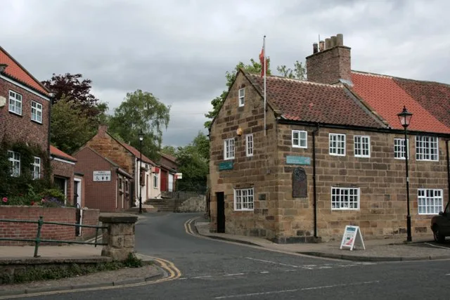
Langbaurgh Ridge in England North East, United Kingdom.

Stephen McCulloch — CC BY-SA 2.0 via Wikimedia Commons licence
Plan your visit
- Typical visit
- 1 h–2 h
About
Langbaurgh Ridge is a place of interest in England North East, United Kingdom — drawn from open-data sources for visitor reference. See the linked Wikipedia article for the full description.
Photo gallery
From the Wikipedia article
Langbaurgh Ridge (grid reference NZ560121) is an 8.0 hectare geological Site of Special Scientific Interest near the hamlet of Langbaurgh in North Yorkshire, England, notified in 1986. The site crosses the boundary of the Redcar and Cleveland district and the area covered by the North Yorkshire unitary authority. The site is identified as being of national importance in the Geological Conservation Review for its exposure of the Cleveland Dyke, a Palaeogene intrusion associated with the Mull central volcanic complex.
Excerpt from Wikipedia under CC BY-SA 4.0. See the source article linked in Sources below.
- Coordinates
- 54.5014, -1.1344
- District
- Redcar and Cleveland
- Parish
- Guisborough
- Postcode
- TS9 6QW
- Parliamentary constituency
- Middlesbrough South and East Cleveland
- Established
- 1986
- Official site
- www.natureonthemap.org.uk
Sources
- wikidata: Q6485746 (CC0)
- wikipedia: Langbaurgh Ridge (CC BY-SA 4.0)
Other places nearby
Loading nearby places…
Nearby
 📷 3
📷 3Historic houses · North East England
Langbaurgh
Langbaurgh in England North East, United Kingdom.
 Flagship📷 5
Towns & cities · Yorkshire & the Humber
Great Ayton
Great Ayton — village in North Yorkshire, England, UK.
 📷 4
📷 4National parks · North East England
Newton under Roseberry
Newton under Roseberry in England North East, United Kingdom.
 📷 3
📷 3Museums · Yorkshire & the Humber
Captain Cook Schoolroom Museum
Captain Cook Schoolroom Museum — a museum in england-yorkshire, United Kingdom.
 📷 4
📷 4Museums · Yorkshire & the Humber
Captain Cook's Schoolroom
Captain Cook's Schoolroom — architectural structure in Great Ayton, Hambleton, North Yorkshire, England, UK.
 📷 5
📷 5Historic houses · Yorkshire & the Humber
Ayton Hall
Ayton Hall — house in Great Ayton, Hambleton, England, UK.
More places in this region
.jpg?width=1200) 📷 3
📷 3Other places · North East England
Stockton Flyer
Stockton Flyer — Public artwork (installation).
 📷 3
📷 3Other places · North East England
Temenos
Temenos — Public artwork (sculpture) by Anish Kapoor.
 📷 5
📷 5Other places · North East England
Appleby Horse Fair
The Appleby Horse Fair, previously known as Appleby New Fair, is an annual gathering of Romani people (Gypsies) and Travellers in Appleby-in-Westmorland in Cumbria, England. The horse fair is held eac
 📷 5
📷 5Other places · North East England
Locomotion No. 1
Locomotion No. 1 (originally named Active) is an early steam locomotive that was built in 1825 by the pioneering railway engineers George and Robert Stephenson at their manufacturing firm, Robert Step
Frequently asked questions
- Where is Langbaurgh Ridge?
- Langbaurgh Ridge is in North-East England, United Kingdom (postcode TS9 6QW), in the parish of Guisborough.
- When was Langbaurgh Ridge built?
- Built or established in 1986.
- How do I get to Langbaurgh Ridge?
- Drivers can navigate to postcode TS9 6QW. It sits within the Middlesbrough South and East Cleveland parliamentary constituency.