Mountains & hills · North East England
Ladyside Pike
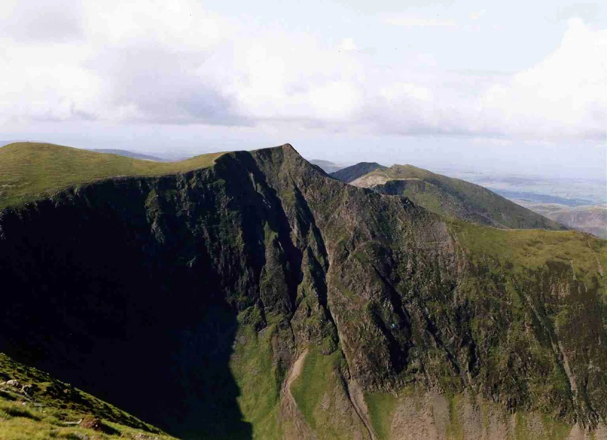
Ladyside Pike — Named summit at 703.5 m.

Wikimedia Commons contributors — see linked file page for photographer and licence licence
Plan your visit
- Typical visit
- 3 h–8 h
- Best time of year
- Late spring – early autumn (May–Oct)
- Free entry
- Dog-friendly
About
Ladyside Pike is a named summit in the United Kingdom. Wikidata describes it as: "Named summit at 703.5 m.". Coordinates: 54.5933°, -3.2630°.
Photo gallery
Protected designations
- Site of Special Scientific Interest: River Derwent and Tributaries SSSI
- Site of Special Scientific Interest: Buttermere Fells SSSI
Designations sourced from Natural England open data under OGL v3.
From the Wikipedia article
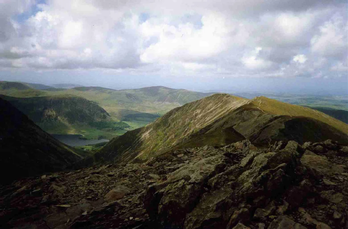
Hopegill Head is a fell in the English Lake District in Cumbria. It is located nine kilometres (5+1⁄2 miles) west of the town of Keswick and is well seen from the B5292 road which crosses the Whinlatter Pass.
Excerpt from Wikipedia under CC BY-SA 4.0. See the source article linked in Sources below.
- Coordinates
- 54.5933, -3.2630
- Address
- Cumbria, England
Sources
- osm: n5022221187 (ODbL)
- wikipedia: Hopegill Head (CC BY-SA 4.0)
- commons: Hopegill Head from Grisedale Pike.jpg (CC BY-SA 4.0)
Other places nearby
Loading nearby places…
Nearby
 📷 3
📷 3Mountains & hills · North East England
Hopegill Head
Hopegill Head — Named summit at 769.6 m.
 📷 3
📷 3Natural landmarks · North East England
Hopegill Head
Hopegill Head — mountain in United Kingdom.
 📷 3
📷 3Mountains & hills · North East England
Whiteside-Gasgale Crags Summit
Whiteside-Gasgale Crags Summit — Named summit at 703.3 m.
 📷 3
📷 3Mountains & hills · North East England
Sand Hill
Sand Hill — Named summit at 756 m.
 📷 3
📷 3Mountains & hills · North East England
Whiteside East Top
Whiteside East Top — Named summit at 719.4 m.
 📷 3
📷 3Natural landmarks · North East England
Whiteside
Whiteside — mountain in United Kingdom.
More mountains in this region
 📷 3
📷 3Mountains & hills · North East England
Angletarn Pikes
Angletarn Pikes — Named summit at 566 m.
 📷 3
📷 3Mountains & hills · North East England
Angletarn Pikes South Top
Angletarn Pikes South Top — Named summit at 563.6 m.
 📷 3
📷 3Mountains & hills · North East England
Ard Crags
Ard Crags — Named summit at 581 m.
 📷 3
📷 3Mountains & hills · North East England
Arnison Crag
Arnison Crag — Named summit at 433 m.
Frequently asked questions
- Where is Ladyside Pike?
- Ladyside Pike is in North-East England, United Kingdom.
- Is Ladyside Pike a protected site?
- Yes — Ladyside Pike is part of the River Derwent and Tributaries SSSI Site of Special Scientific Interest and the Buttermere Fells SSSI Site of Special Scientific Interest.
- Is Ladyside Pike free to visit?
- Yes, Ladyside Pike is free to enter.