Mountains & hills · Northern Ireland
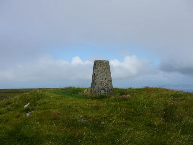
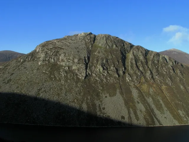
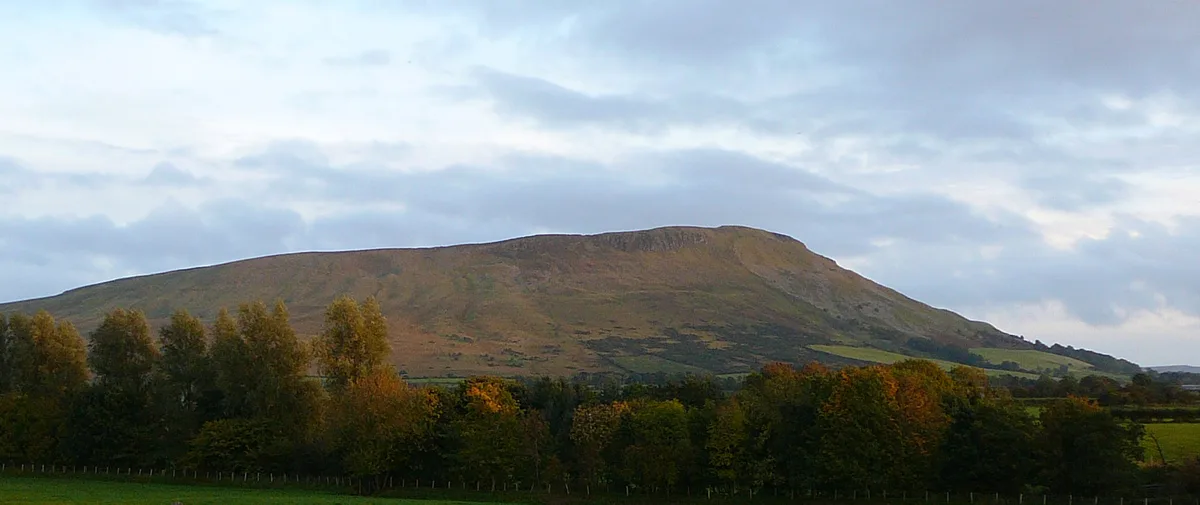
Knocklayd
Also known as: Cnoc Leithid
Knocklayd — Named summit at 514 m.

Wikimedia Commons contributors — see linked file page for photographer and licence licence
Plan your visit
- Typical visit
- 3 h–8 h
- Best time of year
- Late spring – early autumn (May–Oct)
- Free entry
- Dog-friendly
About
Knocklayd is a named summit in the United Kingdom. Also known as: Cnoc Leithid. Wikidata describes it as: "Named summit at 514 m.". Coordinates: 55.1621°, -6.2511°.
Photo gallery
From the Wikipedia article
Knocklayd (Irish name: Cnoc Leithid, "hill of the slope/expanse") is a peak in County Antrim, Northern Ireland, about 3 miles (5 km) due south from Ballycastle. The Irish Grid reference is D115 364.
Excerpt from Wikipedia under CC BY-SA 4.0. See the source article linked in Sources below.
- Coordinates
- 55.1621, -6.2511
- District
- Causeway Coast and Glens
- Postcode
- BT53 8SB
- Parliamentary constituency
- North Antrim
Sources
- osm: n332372961 (ODbL)
- wikipedia: Knocklayd (CC BY-SA 4.0)
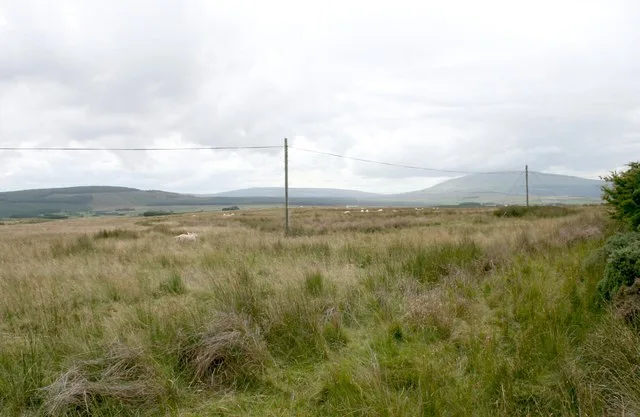
- commons: Marshland - geograph.org.uk - 240934.jpg (CC BY-SA 4.0)
Other places nearby
Loading nearby places…
Nearby
 📷 3
📷 3Natural landmarks · Northern Ireland
Knocklayd
Knocklayd — mountain in Northern Ireland.
 📷 3
📷 3Natural landmarks · Northern Ireland
Carn an Truagh
Carn an Truagh is a natural landmark in the United Kingdom.
 📷 4
📷 4Natural landmarks · Northern Ireland
Moyle District Council
Moyle District Council in Northern Ireland, United Kingdom.
 📷 3
📷 3Natural landmarks · Northern Ireland
Aghaleck
Aghaleck in Northern Ireland, United Kingdom.

Natural landmarks · Northern Ireland
Ballydurnian
Ballydurnian in Northern Ireland, United Kingdom.
 📷 3
📷 3Natural landmarks · Northern Ireland
Glenshesk
Glenshesk in Northern Ireland, United Kingdom.
More mountains in this region
 📷 5
📷 5Mountains & hills · Northern Ireland
Belfast Lough
Belfast Lough — intertidal inlet in Northern Ireland.
 📷 5
📷 5Mountains & hills · Northern Ireland
Belmore Mountain
Belmore Mountain — Named summit at 398 m.
 📷 4
📷 4Mountains & hills · Northern Ireland
Ben Crom
Ben Crom — Named summit at 526 m.
 📷 3
📷 3Mountains & hills · Northern Ireland
Benbradagh
Benbradagh — Named summit at 465 m.
Frequently asked questions
- Where is Knocklayd?
- Knocklayd is in Northern Ireland, United Kingdom (postcode BT53 8SB).
- Who owns Knocklayd?
- Knocklayd is owned by | country = Northern Ireland.
- Is Knocklayd free to visit?
- Yes, Knocklayd is free to enter.
- How do I get to Knocklayd?
- Drivers can navigate to postcode BT53 8SB. It sits within the North Antrim parliamentary constituency.