Historic bridges · North West England
Knight Stainforth Bridge
Knight Stainforth Bridge is a historic bridge in the United Kingdom.

Wikimedia Commons contributors — see linked file page for photographer and licence licence
Plan your visit
- Typical visit
- 15 min–30 min
- Nearest railway station
- Settle · 3.8 km
- Free entry
- Dog-friendly
About
Knight Stainforth Bridge is a named historic bridge in the United Kingdom. Coordinates: 54.1008°, -2.2801°. This entry is part of The Great Britain Guide, a free, ad-free, open-data tourist directory.
Photo gallery
Heritage listing
Stainforth Bridge, (also known as Stainforth packhorse bridge and Knight Stainforth bridge) is a 17th century, arched packhorse bridge over the River Ribble in Stainforth, North Yorkshire, England. The bridge was formerly on the main packhorse road between York and Lancaster, which has been superseded by later roads. It was in private ownership until the 1930s, when it was taken on by the National Trust.
From the Historic England List Entry under OGL v3.
Protected designations
- Area of Outstanding Natural Beauty: Forest Of Bowland
Designations sourced from Natural England open data under OGL v3.
From the Wikipedia article
Stainforth Bridge, (also known as Stainforth packhorse bridge and Knight Stainforth bridge) is a 17th century, arched packhorse bridge over the River Ribble in Stainforth, North Yorkshire, England. The bridge was formerly on the main packhorse road between York and Lancaster, which has been superseded by later roads. It was in private ownership until the 1930s, when it was taken on by the National Trust. It is now a grade II listed structure and provides access to Stainforth Force, which is just below the bridge.
Excerpt from Wikipedia under CC BY-SA 4.0. See the source article linked in Sources below.
Background
History
The bridge was built by Samuel Watson , a local Quaker who owned Knight Stainforth Hall, a Jacobean house which was nearby. Previous to this, the site was a ford which was impassable during times of flood, and a local legend suggests that the crossing was used by the Romans. The bridge carries a minor road, Dog Hill Brow, over the river connecting Knight and Little Stainforth. Besides being a Medieval road linking York and Lancaster, and a monastic route taken by monks between their houses in Yorkshire and the Lake District, the route was also a packhorse road connecting Clapham with Malham. A covenant was drawn up in the year of the bridge's building stating that people on foot, or with…
Sourced from Wikipedia under CC BY-SA 4.0.
- Coordinates
- 54.1008, -2.2801
- District
- North Yorkshire
- Parish
- Stainforth
- Postcode
- BD24 9QD
- Parliamentary constituency
- Skipton and Ripon
- Nearest railway station
- Settle — 3.8 km
- Opening
- {{circa|1675}}
Sources
- osm: w1352753260 (ODbL)
- wikipedia: Stainforth Bridge (CC BY-SA 4.0)
- commons: Stainforth Packhorse Bridge and the River Ribble - geograph.org.uk - 433349.jpg (CC BY-SA 4.0)
Other places nearby
Loading nearby places…
Nearby
 📷 3
📷 3Natural landmarks · North West England
Stainforth Foss
Stainforth Foss — a other in england-north-west, United Kingdom.
Caravan parks · North West England
Knight Stainforth Hall Camping & Caravan Park
Knight Stainforth Hall Camping & Caravan Park — a caravan park in england north west.
 📷 3
📷 3Historic churches · North West England
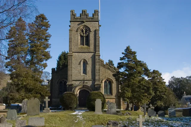
St Peter's Church, Stainforth
St Peter's Church, Stainforth — grade II listed church in Stainforth, Craven, North Yorkshire, England, UK.
 📷 4
📷 4Towns & cities · North West England
Stainforth
Stainforth — village and civil parish in North Yorkshire, England, UK.
 📷 3
📷 3Historic houses · North West England
Triple Draw Kilns
Triple Draw Kilns — a historic house in england-north-west, United Kingdom.
 📷 3
📷 3Historic houses · North West England
Spencer Kilns
Spencer Kilns — a historic house in england-north-west, United Kingdom.
More bridges in this region
 📷 3
📷 3Historic bridges · North West England
Adam Viaduct
Adam Viaduct is a historic bridge in the United Kingdom.
 📷 3
📷 3Historic bridges · North West England
Airton Bridge
Airton Bridge is a historic bridge in the United Kingdom.
 📷 3
📷 3Historic bridges · North West England
Ais Gill Viaduct
Ais Gill Viaduct is a historic bridge in the United Kingdom.
 📷 3
📷 3Historic bridges · North West England
Appersett Bridge
Appersett Bridge is a historic bridge in the United Kingdom.
Frequently asked questions
- Where is Knight Stainforth Bridge?
- Knight Stainforth Bridge is in North-West England, United Kingdom (postcode BD24 9QD), in the parish of Stainforth.
- Who owns Knight Stainforth Bridge?
- Knight Stainforth Bridge is owned by | maint =.
- Is Knight Stainforth Bridge a listed building?
- Knight Stainforth Bridge is officially recognised as Grade II listed building listed.
- Is Knight Stainforth Bridge a protected site?
- Yes — Knight Stainforth Bridge is part of the Forest Of Bowland National Landscape (AONB).
- Is Knight Stainforth Bridge free to visit?
- Yes, Knight Stainforth Bridge is free to enter.
- How do I get to Knight Stainforth Bridge?
- The nearest railway station is Settle, about 3.8 km away. Drivers can navigate to postcode BD24 9QD.