Mountains & hills · North West England
Kisdon
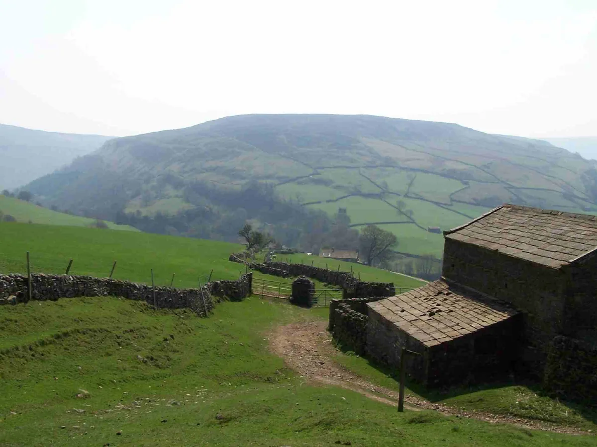
Kisdon — Named summit at 499 m.

Wikimedia Commons contributors — see linked file page for photographer and licence licence
Plan your visit
- Typical visit
- 3 h–8 h
- Best time of year
- Late spring – early autumn (May–Oct)
- Free entry
- Dog-friendly
About
Kisdon is a named summit in the United Kingdom. Wikidata describes it as: "Named summit at 499 m.". Coordinates: 54.3941°, -2.1574°.
Photo gallery
Protected designations
- Site of Special Scientific Interest: Arkengarthdale, Gunnerside and Reeth Moors SSSI
Designations sourced from Natural England open data under OGL v3.
From the Wikipedia article
Kisdon, also called Kisdon Hill, is a fell situated in upper Swaledale in the Yorkshire Dales National Park in North Yorkshire, England.
Excerpt from Wikipedia under CC BY-SA 4.0. See the source article linked in Sources below.
- Coordinates
- 54.3941, -2.1574
- District
- North Yorkshire
- Parish
- Muker
- Postcode
- DL11 6DY
- Parliamentary constituency
- Richmond and Northallerton
Sources
- osm: n478869206 (ODbL)
- wikipedia: Kisdon (CC BY-SA 4.0)
- commons: Kisdon Hill from Pennine Way 1.jpg (CC BY-SA 4.0)
Other places nearby
Loading nearby places…
Nearby
 📷 3
📷 3Natural landmarks · North West England
Kisdon
Kisdon — mountain in United Kingdom.
 📷 3
📷 3Memorials & monuments · North West England
Neil W. Jones
Neil W. Jones — a memorial in england-north-west, United Kingdom.
 📷 4
📷 4Other places · North East England
Catrake Force
Catrake Force in England North East, United Kingdom.
 📷 4
📷 4National parks · North East England
Kisdon Force
Kisdon Force in England North East, United Kingdom.
 📷 3
📷 3Historic houses · North West England
Crackpot Hall
Crackpot Hall — a historic house in england-north-west, United Kingdom.
Campsites · North West England
Rukin's Park Lodge Campsite
Rukin's Park Lodge Campsite — a campsite in england north west.
More mountains in this region
 📷 3
📷 3Mountains & hills · North West England
Allen Crags
Allen Crags — Named summit at 785 m.
 📷 3
📷 3Mountains & hills · North West England
Alum Pot
Alum Pot — Open shaft pothole in North Yorkshire.
 📷 3
📷 3Mountains & hills · North West England
Arnside Knott
Arnside Knott — Named summit at 159 m.
 📷 3
📷 3Mountains & hills · North West England
Aye Gill Pike
Aye Gill Pike — Named summit at 556.3 m.
Frequently asked questions
- Where is Kisdon?
- Kisdon is in North-West England, United Kingdom (postcode DL11 6DY), in the parish of Muker.
- Is Kisdon a protected site?
- Yes — Kisdon is part of the Arkengarthdale, Gunnerside and Reeth Moors SSSI Site of Special Scientific Interest.
- Is Kisdon free to visit?
- Yes, Kisdon is free to enter.
- How do I get to Kisdon?
- Drivers can navigate to postcode DL11 6DY. It sits within the Richmond and Northallerton parliamentary constituency.