Islands · Central Scotland
King's Inch
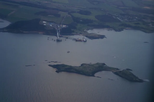
King's Inch — small Scottish island.

Wikimedia Commons contributors — see linked file page for photographer and licence licence
Plan your visit
- Typical visit
- 4 h–12 h
- Nearest railway station
- Garscadden · 1.5 km
- Free entry
- Dog-friendly
About
King's Inch is a island in the United Kingdom. Wikidata describes it as: "small Scottish island". Coordinates: 55.8760°, -4.3780°.
Photo gallery
From the Wikipedia article
King's Inch and the much smaller Sand Inch were islands lying in the estuarine waters of the River Clyde close to Renfrew in Renfrewshire, Scotland. Due to dredging and a change of the course of the main current of the River Clyde, silting, etc. it has become part of the southern, Renfrewshire side, of the river bank and is now built over. Also recorded as 'The King's Inch' or simply 'Inch.' Walter fitz Alan built a second stone castle on a motte on the mainland in Renfrew itself and this became the principal messuage or manor place of the barony, the powerbase of the Fitz Alan's who were to become the Stewart line of monarchs. Both names relate to the Royal lands here held by King Robert II and later Stewart monarchs. The name lives on in a street name, etc. and King's Inch railway station once served Renfrew from 1903 to 1926 on the Glasgow and Renfrew District Railway.
Excerpt from Wikipedia under CC BY-SA 4.0. See the source article linked in Sources below.
Background
Description
The Clyde flooded in the 17th century and its course altered. The 'First Statistical Account' states that the river "left its usual course, nearly opposite to Scotstoun, took a semi-circular direction, leaving the King’s Inch on the north side, and running along the bottom of the garden belonging to the manse, came into its present direction". This shows that up to that time the River Clyde's main current flowed to the south of the Kings Inch, directly in front of the mainland Renfrew Castle, partly the line of the Pudzeoch Burn. The extensive dredging operations in the River Clyde in the 18th and 19th centuries resulted in the island finally becoming joined to the mainland.
Sourced from Wikipedia under CC BY-SA 4.0.
- Coordinates
- 55.8760, -4.3780
- District
- Renfrewshire
- Postcode
- PA4 8XS
- Parliamentary constituency
- Paisley and Renfrewshire North
- Nearest railway station
- Garscadden — 1.5 km
Sources
- wikidata: Q87457169 (CC0)
- wikipedia: King's Inch (CC BY-SA 4.0)
- commons: King's Inch and the Pudzeoch Basin, Renfrew Ferry, Renfrewshire.jpg (CC BY-SA 4.0)
Other places nearby
Loading nearby places…
Nearby
 📷 3
📷 3Castles · Central Scotland
Renfrew Castle
Renfrew Castle — castle in Renfrewshire, Scotland, UK.
 📷 3
📷 3Theatres · Central Scotland
Odeon Braehead
Odeon Braehead in Scotland Central, United Kingdom.
 📷 5
📷 5Historic churches · Central Scotland
Renfrew Old Parish Church
Renfrew Old Parish Church — category B listed building-listed church in scotland-central, United Kingdom.
📷 5Memorials & monuments · Central Scotland
Monuments in Old Parish Church, High Street, Renfrew
Monuments in Old Parish Church, High Street, Renfrew — category A listed building-listed memorial in scotland-central, United Kingdom.
 📷 3
📷 3Museums · Central Scotland
Renfrew Museum
Renfrew Museum — a museum in scotland-central, United Kingdom.
 📷 3
📷 3Historic churches · Central Scotland
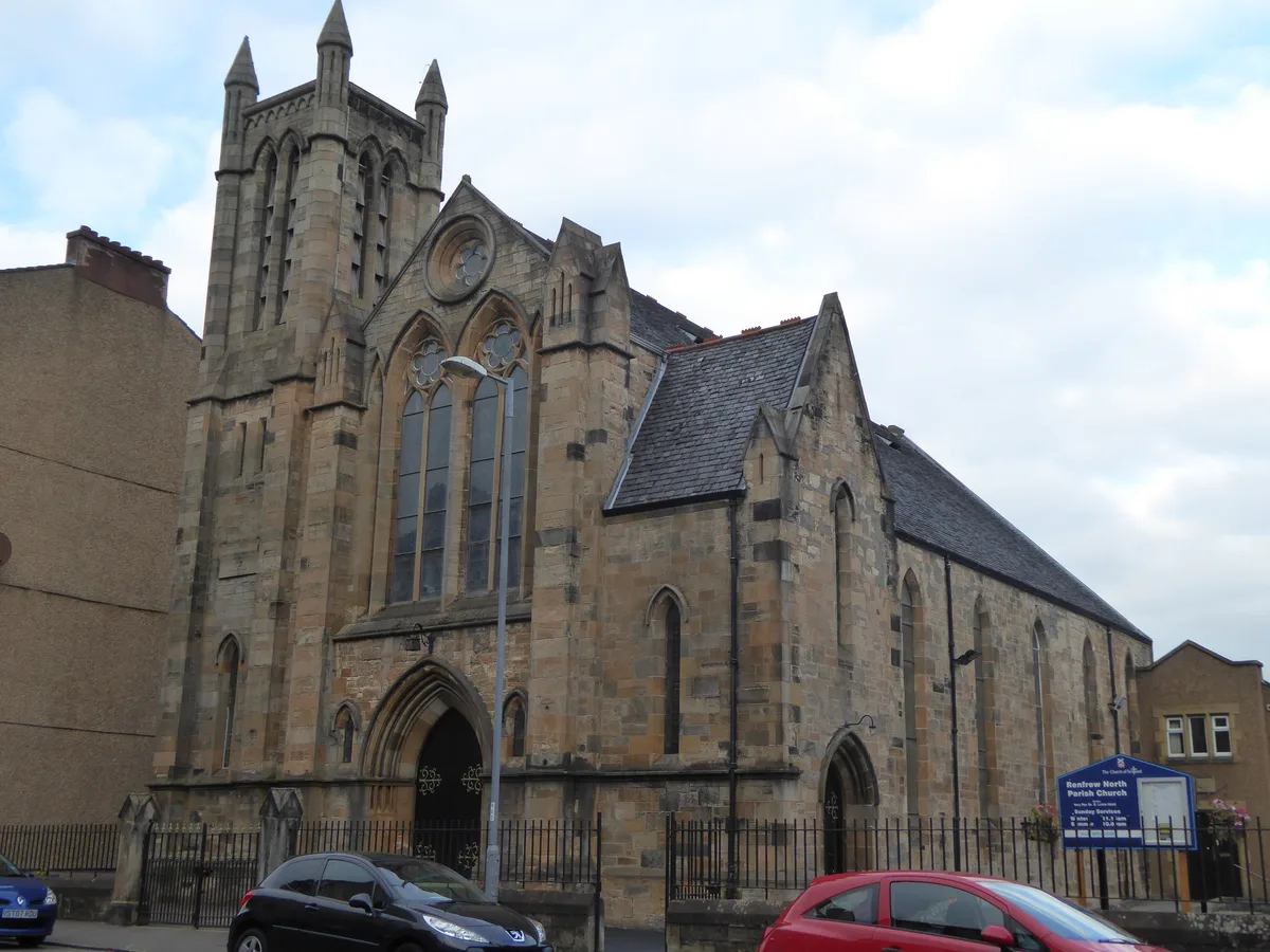
Renfrew North Parish Church
Renfrew North Parish Church — church in Renfrewshire, Scotland, UK.
More places in this region
 Flagship📷 5
Islands · Central Scotland
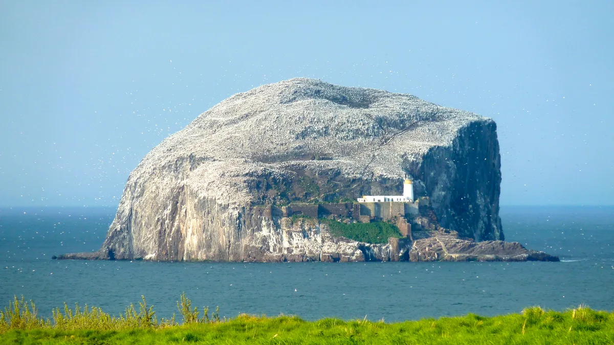
Bass Rock
Bass Rock — island in the east of Scotland.
 Flagship📷 3
Islands · Central Scotland
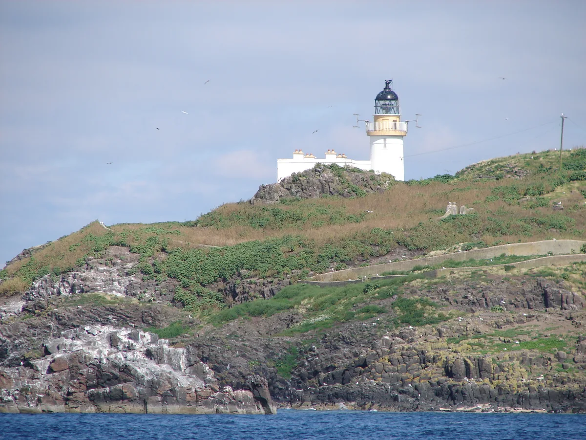
Fidra
Fidra — uninhabited island in the Firth of Forth, on the east coast of Scotland.
 Flagship📷 3
Islands · Central Scotland
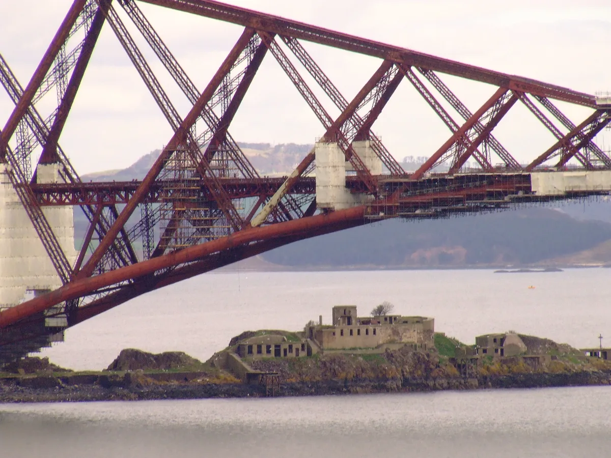
Inch Garvie
Inch Garvie — island in the Firth of Forth, Edinburgh, Scotland, UK.
 Flagship📷 3
Islands · Central Scotland
Inchcolm
Inchcolm — island in the Firth of Forth in Scotland.
Frequently asked questions
- Where is King's Inch?
- King's Inch is in central Scotland, United Kingdom (postcode PA4 8XS).
- Is King's Inch free to visit?
- Yes, King's Inch is free to enter.
- How do I get to King's Inch?
- The nearest railway station is Garscadden, about 1.5 km away. Drivers can navigate to postcode PA4 8XS.