Hill forts · Scottish Lowlands
King Arthur's Round Table
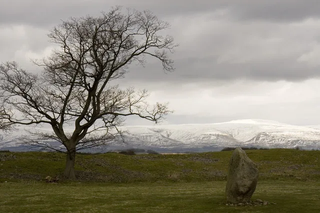
King Arthur's Round Table — Neolithic henge monument in Eamont Bridge, Westmorland, Cumbria, England, UK.

Wikimedia Commons contributors — see linked file page for photographer and licence licence
Plan your visit
- Typical visit
- 1 h–2 h
- Nearest railway station
- Penrith (North Lakes) · 1.9 km
- Free entry
- Family-friendly
- Dog-friendly
- Limited wheelchair access
About
King Arthur's Round Table is a hill fort in the United Kingdom. Heritage designation: scheduled monument. Owned by English Heritage. Managed by English Heritage. Wikidata describes it as: "Neolithic henge monument in Eamont Bridge, Westmorland, Cumbria, England, UK". Coordinates: 54.6482°, -2.7403°.
Photo gallery
From English Heritage
A Neolithic earthwork henge, dating from c. 2000 BC, but much later believed to be King Arthur's jousting arena. Mayburgh Henge is adjacent.
Read more on the official property page.
Protected designations
- Site of Special Scientific Interest: River Eden and Tributaries SSSI
Designations sourced from Natural England open data under OGL v3.
From the Wikipedia article
King Arthur's Round Table is a Neolithic henge in the village of Eamont Bridge in the English county of Cumbria, around one mile (2 km) south east of Penrith. It is 400 metres from Mayburgh Henge. The site is free to visitors and is under the control of English Heritage.
Excerpt from Wikipedia under CC BY-SA 4.0. See the source article linked in Sources below.
Background
Description
King Arthur's Round Table is a henge situated in a field next to the A6 road in the village of Eamont Bridge, south of Penrith, Cumbria. The northern part of the henge is now covered by the B5320 road and the Crown Hotel, while the A6 road has encroached on the eastern part. The larger Mayburgh Henge is just 400 metres to the west, and the fragments of the Little Round Table henge are 200 metres to the south. This indicates the presence of a henge complex and possible ritual landscape similar to those at Thornborough or Salisbury Plain. The henge is around 90 metres in diameter. The enclosed area is about 50 metres across; the ditch has a maximum width of 16 metres; the berm 7 metres; and…
Sourced from Wikipedia under CC BY-SA 4.0.
- Coordinates
- 54.6482, -2.7403
- District
- Westmorland and Furness
- Parish
- Yanwath and Eamont Bridge
- Postcode
- CA10 2BU
- Parliamentary constituency
- Westmorland and Lonsdale
- Nearest railway station
- Penrith (North Lakes) — 1.9 km
- Official site
- www.english-heritage.org.uk
Sources
- wikidata: Q283800 (CC0)
- wikipedia: King Arthur's Round Table (CC BY-SA 4.0)
- commons: Arthur table eamont.jpg (CC BY-SA 4.0)
Other places nearby
Loading nearby places…
Nearby
 📷 3
📷 3Memorials & monuments · Scottish Lowlands
Boer War Memorial, Eamont Bridge
Boer War Memorial, Eamont Bridge — Grade II listed building-listed memorial in scotland-lowlands, United Kingdom.
Campsites · Scottish Lowlands
Lowther Holiday Park
Lowther Holiday Park — a campsite in scotland lowlands.
 📷 3
📷 3Historic houses · Scottish Lowlands
Mansion House
Mansion House — house in Yanwath and Eamont Bridge, Eden, England, UK.
 📷 3
📷 3Memorials & monuments · Scottish Lowlands
Eden Millennium Monument
Eden Millennium Monument is a memorial in the United Kingdom.
 📷 5
📷 5Historic bridges · Scottish Lowlands
Eamont Bridge
Eamont Bridge is a historic bridge in the United Kingdom.
 📷 5
📷 5Hill forts · Scottish Lowlands
Mayburgh Henge
Mayburgh Henge — Neolithic henge monument in Eabridge, Westmorland, Cumbria, England, UK.
More places run by English Heritage
 Flagship📷 10
Museums · London
Kenwood House
Kenwood House — art museum and historic house in Hampstead, London.
 📷 5
📷 5Galleries · London
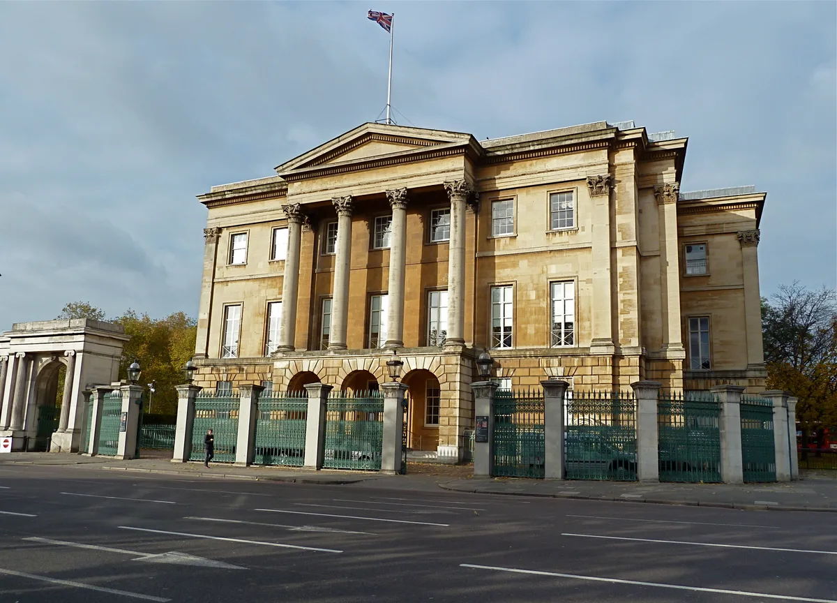
Apsley House
Apsley House — London townhouse of the Dukes of Wellington.
 ★ Iconic📷 5
Abbeys & priories · London
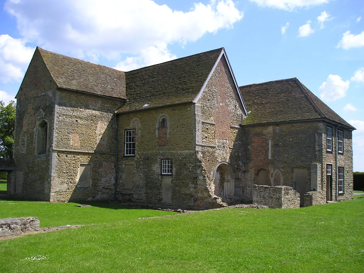
Denny Abbey
Denny Abbey — church in South Cambridgeshire, England, UK.
 📷 5
📷 5Chapels · London
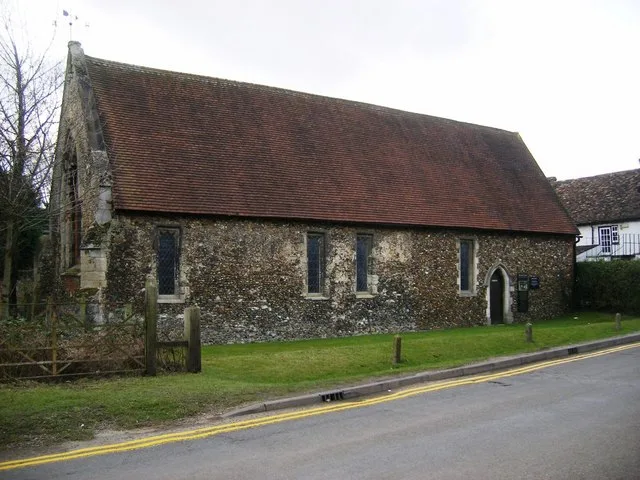
Duxford Chapel
Duxford Chapel — chapel in Whittlesford, Cambridgeshire, England, UK.
More places in this region
 📷 3
📷 3Hill forts · Scottish Lowlands
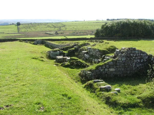
Aesica
Aesica — Roman fort, archaeological site in Northumberland, England, UK.
 📷 3
📷 3Hill forts · Scottish Lowlands
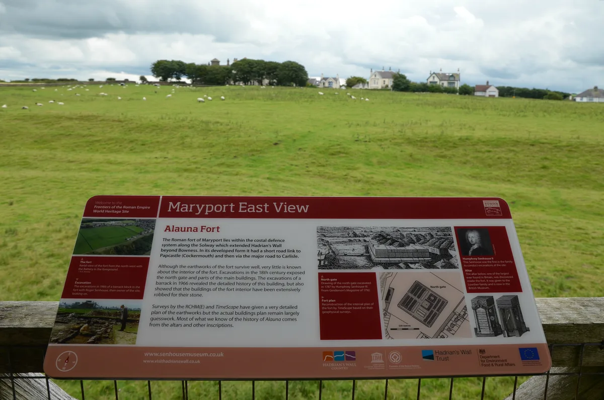
Alauna
Alauna — Roman fort and settlement on the site of present-day Maryport in Cumbria, England, UK.
 📷 4
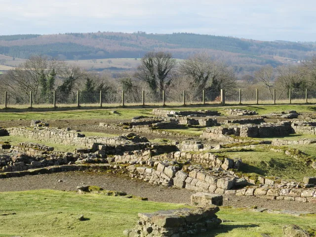
📷 4Hill forts · Scottish Lowlands
Carrawburgh
Carrawburgh — Roman fort in Northumberland, England, UK.
 📷 3
📷 3Hill forts · Scottish Lowlands
Coria
Coria — archaeological site in Corbridge, Northumberland, England, UK.
Frequently asked questions
- Where is King Arthur's Round Table?
- King Arthur's Round Table is in the Scottish Lowlands, United Kingdom (postcode CA10 2BU), in the parish of Yanwath and Eamont Bridge.
- Who runs King Arthur's Round Table?
- King Arthur's Round Table is operated by English Heritage.
- Is King Arthur's Round Table a listed building?
- King Arthur's Round Table is officially recognised as scheduled monument listed.
- Is King Arthur's Round Table a protected site?
- Yes — King Arthur's Round Table is part of the River Eden and Tributaries SSSI Site of Special Scientific Interest.
- Is King Arthur's Round Table free to visit?
- Yes, King Arthur's Round Table is free to enter.
- How do I get to King Arthur's Round Table?
- The nearest railway station is Penrith (North Lakes), about 1.9 km away. Drivers can navigate to postcode CA10 2BU.