Towns & cities · East of England
Ingham
Ingham — village in Suffolk, England, UK.

Wikimedia Commons contributors — see linked file page for photographer and licence licence
Plan your visit
- Typical visit
- 3 h–6 h
- Nearest railway station
- Bury St Edmunds · 5.6 km
- Free entry
- Family-friendly
- Dog-friendly
About
Ingham is a town, city, village or settlement in the United Kingdom. Recent population estimates put it at around 419 people. Wikidata describes it as: "village in Suffolk, England, UK". Coordinates: 52.3041°, 0.7199°.
Photo gallery
Protected designations
- Site of Special Scientific Interest: Breckland Farmland SSSI
Designations sourced from Natural England open data under OGL v3.
From the Wikipedia article
Ingham is a village and civil parish in the West Suffolk district of Suffolk in eastern England, located about six miles north of Bury St Edmunds on the A143 to Thetford in Norfolk. The village boasts a single church, a post office and a pub. Ingham is mentioned in the Domesday Book of 1086. Possible etymologies are "homestead or village of a man called Inga" or "home of the Inguiones" (an ancient Germanic tribe). The Church is dedicated to St. Bartholomew and is Church of England. The post office provides some local library links. The village school was a one-room school serving the small class of all grades. It closed in the mid 1980s as a result of declining numbers, despite the expansion of the village with the new housing estate in the 1960s and 1970s. Locals are mainly employed in Bury St Edmunds or Thetford, commuting to work, though some work locally in agriculture or transport industries. Situated on a slight rise north of Bury St Edmunds the village has a large green, formerly including school playing fields to the east of the main road reached by a lane between the Church and the Post Office. Beyond the green lies the abandoned railway cutting - the line and Ingham railway station closed in the 1950s, though Ingham is still served by buses. Thetford Forest lies a few miles to the north west.
Excerpt from Wikipedia under CC BY-SA 4.0. See the source article linked in Sources below.
- Coordinates
- 52.3041, 0.7199
- County
- Suffolk
- District
- West Suffolk
- Parish
- Ingham
- Postcode
- IP31 1FG
- Parliamentary constituency
- West Suffolk
- Population
- 419
- Nearest railway station
- Bury St Edmunds — 5.6 km
- Official site
- neighbourhood.statistics.gov.uk
Sources
- wikidata: Q1849084 (CC0)
- wikipedia: Ingham, Suffolk (CC BY-SA 4.0)
- commons: St. Bartholomew Ingham - geograph.org.uk - 836413.jpg (CC BY-SA 4.0)
Other places nearby
Loading nearby places…
Nearby
 📷 3
📷 3Historic churches · East of England
Church of St Peter, Ampton
Church of St Peter, Ampton — a Grade I-listed church in england-east, United Kingdom.
 📷 5
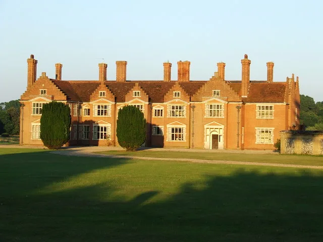
📷 5Stately homes · East of England
Ampton Hall
Ampton Hall — manor house in Ampton, Suffolk, England, UK.
 📷 3
📷 3Memorials & monuments · East of England
Culford Estate War Memorial
Culford Estate War Memorial is a memorial in the United Kingdom.
📷 3Public art & sculpture · East of England
Culford Village Sign
Culford Village Sign — a public art in england-east, United Kingdom.
 📷 3
📷 3Manor houses · East of England
Culford Hall
Culford Hall — a manor in england-east, United Kingdom.
 📷 5
📷 5Historic bridges · East of England
The Iron Bridge At Culford School
The Iron Bridge At Culford School — a Grade I-listed bridge in england-east, United Kingdom.
More towns in this region
 Flagship📷 3
Towns & cities · East of England
Alburgh
Alburgh — village and civil parish in Norfolk, UK.
 Flagship📷 3
Towns & cities · East of England
Aldeby
Aldeby — village and civil parish in Norfolk, UK.
 Flagship📷 5
Towns & cities · East of England
Ashill
Ashill — village and civil parish in the English county of Norfolk.
 Flagship📷 3
Towns & cities · East of England
Aslacton
Aslacton — village and civil parish in Norfolk, UK.
Frequently asked questions
- Where is Ingham?
- Ingham is in Suffolk, East of England, United Kingdom (postcode IP31 1FG), in the parish of Ingham.
- Is Ingham a protected site?
- Yes — Ingham is part of the Breckland Farmland SSSI Site of Special Scientific Interest.
- Is Ingham free to visit?
- Yes, Ingham is free to enter.
- How do I get to Ingham?
- The nearest railway station is Bury St Edmunds, about 5.6 km away. Drivers can navigate to postcode IP31 1FG.