Historic bridges · London
Holborn Viaduct
Holborn Viaduct is a historic bridge in the United Kingdom.

Wikimedia Commons contributors — see linked file page for photographer and licence licence
Plan your visit
- Typical visit
- 15 min–30 min
- Nearest railway station
- City Thameslink · 0.3 km
- Free entry
- Dog-friendly
About
Holborn Viaduct is a named historic bridge in the United Kingdom. Coordinates: 51.5173°, -0.1055°. This entry is part of The Great Britain Guide, a free, ad-free, open-data tourist directory.
Photo gallery
From the Wikipedia article
Holborn Viaduct is a road bridge in London and the name of the street which crosses it (which forms part of the A40 route). It links Holborn, via Holborn Circus, with Newgate Street, in the City of London, England financial district, passing over Farringdon Street and the subterranean River Fleet. The viaduct spans the steep-sided Holborn Hill and the River Fleet valley at a length of 1,400 feet (430 m) and 80 feet (24 m) wide. City surveyor William Haywood was the architect and the engineer was Rowland Mason Ordish.
Excerpt from Wikipedia under CC BY-SA 4.0. See the source article linked in Sources below.
Background
History
| type = Act | parliament = Parliament of the United Kingdom | long_title = An Act to authorize the Corporation of the City of London to form a Viaduct or raised Way across the Holborn Valley, and new Streets and Improvements connected therewith; and for other Purposes. | year = 1864 | citation = 27 & 28 Vict. c. lxi | introduced_commons = | introduced_lords = | territorial_extent = | royal_assent = 23 June 1864 | commencement = | expiry_date = | repeal_date = | amends = | replaces = | amendments = | repealing_legislation = | related_legislation = | status = | legislation_history = | theyworkforyou = | millbankhansard = | original_text = | revised_text = | use_new_UK-LEG = | UK-LEG_title =…
Sourced from Wikipedia under CC BY-SA 4.0.
- Coordinates
- 51.5173, -0.1055
- District
- City of London
- Parish
- City of London, unparished area
- Postcode
- EC1A 2BP
- Parliamentary constituency
- Cities of London and Westminster
- Nearest railway station
- City Thameslink — 0.3 km
Sources
- osm: w378321785 (ODbL)
- wikipedia: Holborn Viaduct (CC BY-SA 4.0)
- commons: Royal Procession under the Holborn Valley Viaduct, 1869 ILN.jpg (CC BY-SA 4.0)
Other places nearby
Loading nearby places…
Nearby
 📷 5
📷 5Public art & sculpture · London
Winged Lion
Winged Lion — a public art in england-london, United Kingdom.
📷 5Public art & sculpture · London
Fine Art
Fine Art — a public art in england-london, United Kingdom.
 📷 5
📷 5Public art & sculpture · London
Commerce
Commerce — a public art in england-london, United Kingdom.
 📷 5
📷 5Public art & sculpture · London
Science
Science — a public art in england-london, United Kingdom.
 📷 5
📷 5Historic churches · London
City Temple
City Temple — church in the City of London.
 📷 5
📷 5Historic churches · London
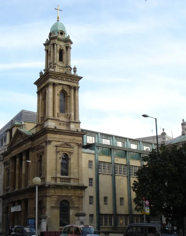
Parish of the Dormition of the Mother of God
Parish of the Dormition of the Mother of God is a historic church in the United Kingdom.
More bridges in this region
 📷 5
📷 5Historic bridges · London
Affection
Affection — Public artwork (sculpture).
 📷 5
📷 5Historic bridges · London
Albert Bridge
Albert Bridge is a historic bridge in the United Kingdom.
.JPG?width=1200) 📷 5
📷 5Historic bridges · London
Albert Bridge
Albert Bridge is a historic bridge in the United Kingdom.
 📷 5
📷 5Historic bridges · London
Arnos Park Viaduct
Arnos Park Viaduct is a historic bridge in the United Kingdom.
Frequently asked questions
- Where is Holborn Viaduct?
- Holborn Viaduct is in London, United Kingdom (postcode EC1A 2BP), in the parish of City of London, unparished area.
- Is Holborn Viaduct free to visit?
- Yes, Holborn Viaduct is free to enter.
- How do I get to Holborn Viaduct?
- The nearest railway station is City Thameslink, about 0.3 km away. Drivers can navigate to postcode EC1A 2BP.