Museums · London
Hoddesdon
Hoddesdon () is a town in the Borough of Broxbourne, Hertfordshire, lying entirely within the London Metropolitan Area and Greater London Urban Area. The area is on the River Lea and the Lee Navigati

Stefan Czapski — CC BY-SA 2.0 via Wikimedia Commons licence
Plan your visit
- Typical visit
- 1.5 h–3 h
- Best time of year
- Year-round
- Family-friendly
- Limited wheelchair access
About
Hoddesdon () is a town in the Borough of Broxbourne, Hertfordshire, lying entirely within the London Metropolitan Area and Greater London Urban Area. The area is on the River Lea and the Lee Navigation along with the New River. Hoddesdon is the second most populated town in Broxbourne with a population of 42,253 according to the United Kingdom's 2011 census. It borders Ware to the north, Nazeing in Essex to the east, and Broxbourne to the south. The Prime Meridian passes just to the east of Hoddesdon. The town is served by Rye House railway station and nearby Broxbourne railway station.
Photo gallery
From the Wikipedia article
Hoddesdon () is a town in the Borough of Broxbourne, Hertfordshire, lying entirely within the London Metropolitan Area and Greater London Urban Area. The area is on the River Lea and the Lee Navigation along with the New River. Hoddesdon is the second most populated town in Broxbourne with a population of 42,253 according to the United Kingdom's 2011 census. It borders Ware to the north, Nazeing in Essex to the east, and Broxbourne to the south. The Prime Meridian passes just to the east of Hoddesdon. The town is served by Rye House railway station and nearby Broxbourne railway station.
Excerpt from Wikipedia under CC BY-SA 4.0. See the source article linked in Sources below.
Background
History
The name "Hoddesdon" is believed to be derived from a Saxon or Danish personal name combined with the Old English suffix "don", meaning a down or hill. The earliest historical reference to the name is in the Domesday Book within the hundred of Hertford. Hoddesdon was situated about 20 mi north of London on the main road to Cambridge and to the north. The road forked in the centre of the town, with the present High Street dividing into Amwell Street and Burford Street, both leading north to Ware. From an early date there were a large number of inns lining the streets to serve the needs of travellers. A market charter was granted to Robert Boxe, lord of the manor, in 1253. By the 14th century…
Sourced from Wikipedia under CC BY-SA 4.0.
- Coordinates
- 51.7590, -0.0150
- County
- Hertfordshire
- District
- Broxbourne
- Parish
- Broxbourne, unparished area
- Postcode
- EN11 8PH
- Parliamentary constituency
- Broxbourne
- Official site
- www.thespotlightvenue.com
Sources
- wikipedia: Hoddesdon (CC BY-SA 4.0)
Other places nearby
Loading nearby places…
Nearby
 📷 5
📷 5Historic houses · London
Rathmore House
Rathmore House — house in Broxbourne, Hertfordshire, England, UK.
.jpg?width=1200) 📷 5
📷 5Historic houses · London
Rawdon House
Rawdon House — house in Broxbourne, Hertfordshire, England, UK.
 📷 5
📷 5Memorials & monuments · London
Hoddesdon and Rye Park War Memorial
Hoddesdon and Rye Park War Memorial — Grade II listed building-listed memorial in england-london, United Kingdom.
 📷 5
📷 5Memorials & monuments · London
War Memorial
War Memorial is a memorial in the United Kingdom.
 📷 5
📷 5Theatres · London
Spotlight Theatre
Spotlight Theatre is a theatre in the United Kingdom.
 📷 5
📷 5Museums · London
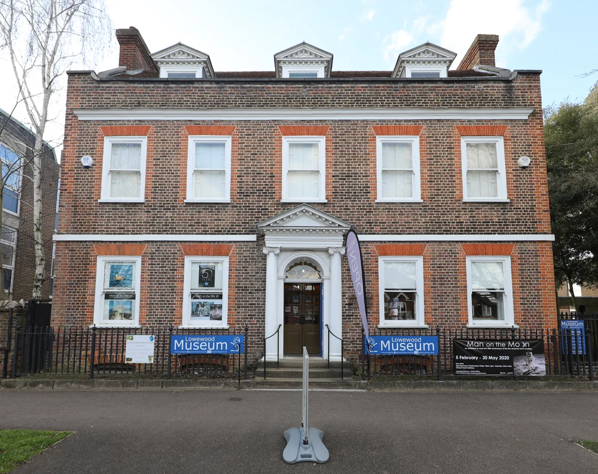
Lowewood Museum
Lowewood Museum — Museum in Lowewood, Hertfordshire, United Kingdom.
More museums in this region
 Flagship📷 10
Museums · London
Kenwood House
Kenwood House — art museum and historic house in Hampstead, London.
 📷 5
📷 5Museums · London
American Air Museum
American Air Museum — museum at Imperial War Museum Duxford, Cambridgeshire, England, UK.
 📷 5
📷 5Museums · London
Amora London
Amora London — European touring exhibition dedicated to love, relationships and sexual wellbeing.
 📷 5
📷 5Museums · London
Antique Breadboard Museum
Antique Breadboard Museum — small museum in Putney, London, England, UK.
Frequently asked questions
- Where is Hoddesdon?
- Hoddesdon is in London, in the United Kingdom — coordinates 51.7590°, -0.0150°.
- Is Hoddesdon wheelchair accessible?
- Partially — OpenStreetMap notes limited wheelchair access at Hoddesdon. Check ahead for specific facilities.