Museums · London
Broxbourne
Broxbourne is a town in the Borough of Broxbourne in Hertfordshire, England, with a population of 15,303 at the 2011 Census. It is located to the south of Hoddesdon and to the north of Cheshunt, 17 mi

David Howard — CC BY-SA 2.0 via Wikimedia Commons licence
Plan your visit
- Typical visit
- 1.5 h–3 h
- Best time of year
- Year-round
- Family-friendly
- Limited wheelchair access
About
Broxbourne is a town in the Borough of Broxbourne in Hertfordshire, England, with a population of 15,303 at the 2011 Census. It is located to the south of Hoddesdon and to the north of Cheshunt, 17 miles (27 km) north of London. The town is near the River Lea, which forms the boundary with Essex, and 5 miles (8.0 km) north of the M25 motorway. To the west of the town are Broxbourne Woods, a national nature reserve. The Prime Meridian runs just east of Broxbourne.
Photo gallery
From the Wikipedia article
Broxbourne is a town in the Borough of Broxbourne in Hertfordshire, England, with a population of 15,303 at the 2011 Census. It is located to the south of Hoddesdon and to the north of Cheshunt, 17 miles (27 km) north of London. The town is near the River Lea, which forms the boundary with Essex, and 5 miles (8.0 km) north of the M25 motorway. To the west of the town are Broxbourne Woods, a national nature reserve. The Prime Meridian runs just east of Broxbourne.
Excerpt from Wikipedia under CC BY-SA 4.0. See the source article linked in Sources below.
Background
History
Broxbourne grew around inns on the Great Cambridge Road, now known as the A10. A number of old houses and inns dating from the 16th to the 19th centuries still line the High Street (now the A1170). The Hertfordshire Golf and Country Club is a 16th Century house with later alterations and additions. The Manor of Broxbourne has an entry in the Domesday Book as Brochtsborne, where Broxbourne Mill is listed. The manor was held in the time of Edward the Confessor by Stigand, the Archbishop of Canterbury, but had passed into Norman hands following the Conquest. King John granted the manor to the Knights Hospitallers until the Dissolution, when it passed to John Cock, after whose family Cock Lane…
Sourced from Wikipedia under CC BY-SA 4.0.
- Coordinates
- 51.7495, -0.0216
- County
- Hertfordshire
- District
- Broxbourne
- Parish
- Broxbourne, unparished area
- Postcode
- EN10 7PN
- Parliamentary constituency
- Broxbourne
Sources
- wikipedia: Broxbourne (CC BY-SA 4.0)
Other places nearby
Loading nearby places…
Nearby
 📷 5
📷 5Canals · London
New River
New River — artificial waterway built to supply water to London, England.
 Flagship📷 5
Historic churches · London
Church of St Augustine, Broxbourne
Church of St Augustine, Broxbourne — a Grade I-listed church in england-london, United Kingdom.
 📷 5
📷 5Heritage railway stations · London
Broxbourne railway station
Broxbourne railway station — a Grade II*-listed railway station in england-london, United Kingdom.
 📷 5
📷 5Theatres · London
Spotlight Theatre
Spotlight Theatre is a theatre in the United Kingdom.
 📷 5
📷 5Watermills · London
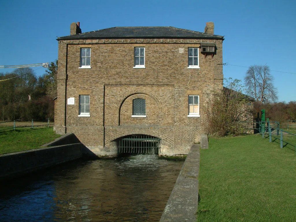
Broxbourne Mill
Broxbourne Mill is a watermill in the United Kingdom.
 📷 5
📷 5Museums · London
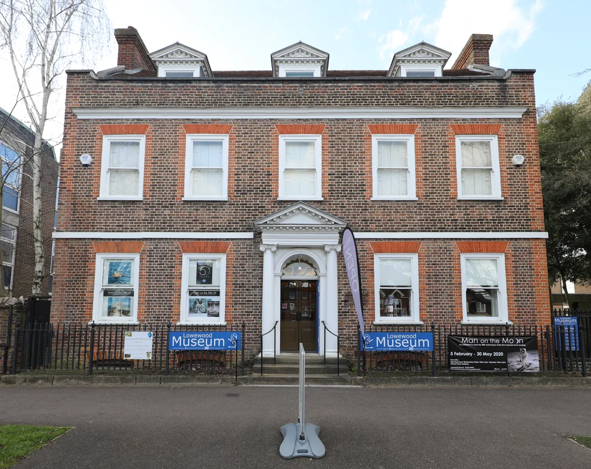
Lowewood Museum
Lowewood Museum — Museum in Lowewood, Hertfordshire, United Kingdom.
More museums in this region
 Flagship📷 10
Museums · London
Kenwood House
Kenwood House — art museum and historic house in Hampstead, London.
 📷 5
📷 5Museums · London
American Air Museum
American Air Museum — museum at Imperial War Museum Duxford, Cambridgeshire, England, UK.
 📷 5
📷 5Museums · London
Amora London
Amora London — European touring exhibition dedicated to love, relationships and sexual wellbeing.
 📷 5
📷 5Museums · London
Antique Breadboard Museum
Antique Breadboard Museum — small museum in Putney, London, England, UK.
Frequently asked questions
- Where is Broxbourne?
- Broxbourne is in London, in the United Kingdom — coordinates 51.7495°, -0.0216°.
- Is Broxbourne wheelchair accessible?
- Partially — OpenStreetMap notes limited wheelchair access at Broxbourne. Check ahead for specific facilities.